This Luxulyan street map is a detailed vector street map covering a 750m x 750m area. Select a larger area to create and download your own vector street map of Luxulyan.
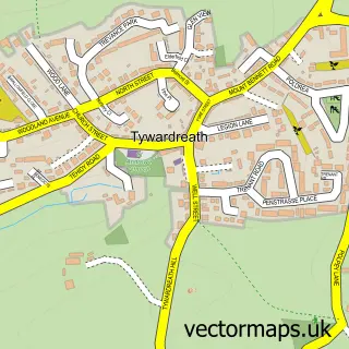
The 750-metre map sample for Luxulyan covers 217 mapped buildings and approximately 8.9 km of road detail, of which 5 named roads are named. The immediate area includes 1 school, 1 pub and 1 MOT station within 2 miles. The wider area around Luxulyan features 2 tourism points of interest, 1 food and drink venue and 3 campsites within 2 miles. To create a larger or custom map of Luxulyan, the map builder lets you define your own coverage area and download editable SVG, PDF and PNG files.
Create a larger editable map of Luxulyan
Choose any area you need and generate a high-quality vector map instantly. Perfect for print, planning, design, business and personal use.

This Luxulyan street map in Cornwall is available as downloadable SVG, PDF and PNG map files, or as a printed map for planning, business, display, education, local information and design work. You can also create a larger custom map area using the map selector.
What this Luxulyan map sample shows
Luxulyan lies within Luxulyan Cp parish, part of Bugle ward in the Cornwall local authority area. The postcode geography for this area includes the PL postcode area, the PL30 postcode district and the PL30 5 postcode sector. Residents fall under the Nhs Cornwall And The Isles Of Scilly Integrated Care Board for NHS services.
Local features near Luxulyan
Within 2 milesAmenities and services in and around Luxulyan.
Administrative and postcode information for Luxulyan
Luxulyan lies within Luxulyan Cp parish, part of Bugle ward in the Cornwall local authority area. The postcode geography for this area includes the PL postcode area, the PL30 postcode district and the PL30 5 postcode sector. Residents fall under the Nhs Cornwall And The Isles Of Scilly Integrated Care Board for NHS services.
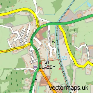
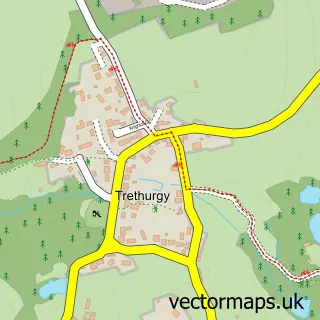
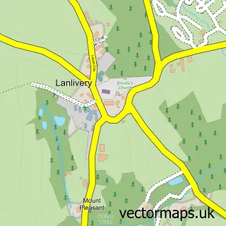
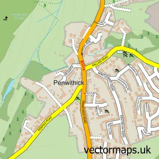
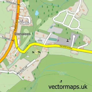
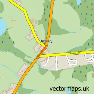
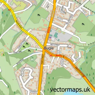
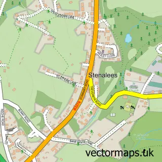
Nearby street map samples around Luxulyan

More street maps in Cornwall
750 metre map area coverage
Boundary, postcode and point of interest information for the 750m x 750m rectangle centred on this sample map.
Boundaries containing map centre
Constituency: South East Cornwall Co Const
District: Cornwall
Icb: NHS Cornwall and the Isles of Scilly ICB
Parish: Luxulyan CP
Police Force: devon and cornwall
Postcode District: PL30
Postcode Sector: PL30 5
Nearby boundaries intersecting sample
Parish: Lanlivery CP
Postcode coverage
POI category counts
Post Office: 3
Beverage Store: 2
Convenience Store: 2
Landmark And Historical Building: 2
Alternative Medicine: 1
Bed And Breakfast: 1
Church Cathedral: 1
Community Center: 1
Drone Store: 1
Elementary School: 1
Sample points of interest
- Jikiden Reiki Today
- The Old Vicarage
- R J Rhythm Entertainments
- R.j.rhythm Entertainments
- Luxulyan St Cyriacus & St Julitta Church
- Luxulyan Village Hall
- Premier
- Premier The Village Shop
- Drone Photography Services
- Luxulyan School
- Boscastle Farm Shop
- Bonds The Jewellers
Create a larger editable map of Luxulyan
This sample shows only a 750 metre area. To create a larger map of Luxulyan, use our map builder to choose your own coverage area, add titles and download editable SVG, PDF and PNG files.
Create a custom map of Luxulyan