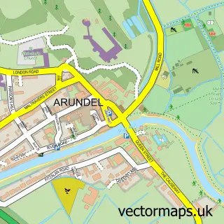
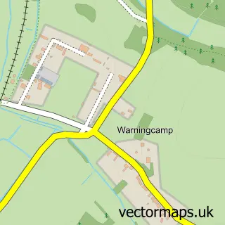
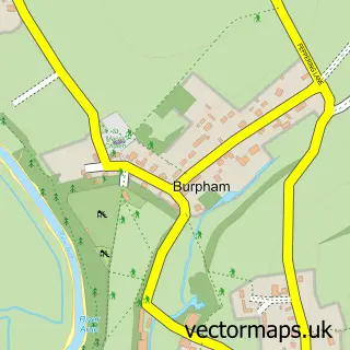
This Lyminster street map is a detailed vector street map covering a 750m x 750m area. Select a larger area to create and download your own vector street map of Lyminster.
The 750-metre map sample for Lyminster covers 80 mapped buildings and approximately 3.9 km of road detail, of which 3 named roads are named. The immediate area includes 3 GP surgeries within 2 miles and 12 MOT stations within 2 miles. To create a larger or custom map of Lyminster, the map builder lets you define your own coverage area and download editable SVG, PDF and PNG files.
Create a larger editable map of Lyminster
Choose any area you need and generate a high-quality vector map instantly. Perfect for print, planning, design, business and personal use.

This Lyminster street map in West Sussex is available as downloadable SVG, PDF and PNG map files, or as a printed map for planning, business, display, education, local information and design work. You can also create a larger custom map area using the map selector.
What this Lyminster map sample shows
Lyminster lies within Lyminster And Crossbush Cp parish, part of Arundel & Walberton ward in the Arun District local authority area. The postcode geography for this area includes the BN postcode area, the BN17 postcode district and the BN17 7 postcode sector. Residents fall under the Nhs Sussex Integrated Care Board for NHS services.
Local features near Lyminster
Within 2 milesAmenities and services in and around Lyminster.
Administrative and postcode information for Lyminster
The local authority covering Lyminster is Arun District, within the county of West Sussex. The settlement lies within Arundel & Walberton ward and Lyminster And Crossbush Cp civil parish. The BN17 postcode district and BN17 7 postcode sector serve the immediate area. NHS provision in the area is delivered through University Hospitals Sussex Nhs Foundation Trust.
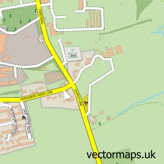
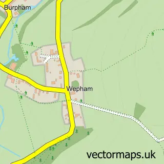
Nearby street map samples around Lyminster

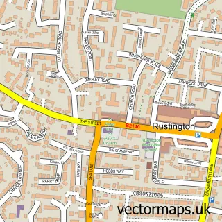
More street maps in West Sussex
750 metre map area coverage
Boundary, postcode and point of interest information for the 750m x 750m rectangle centred on this sample map.
Boundaries containing map centre
Constituency: Arundel and South Downs Co Const
County: West Sussex County
District: Arun District
Icb: NHS Surrey and Sussex ICB
Parish: Lyminster and Crossbush CP
Police Force: sussex
Postcode District: BN17
Postcode Sector: BN17 7
Ward: Arundel & Walberton Ward
Nearby boundaries intersecting sample
No additional intersecting boundaries found.
Postcode coverage
POI category counts
Convenience Store: 2
Antique Store: 1
Car Wash: 1
Catholic Church: 1
Church Cathedral: 1
Plumbing: 1
Professional Services: 1
Resort: 1
Sample points of interest
- Cleall Antiques
- BP Car Wash
- Lyminster Parish Church
- St Mary Magdalene's Church
- SPAR - Rontec - Crossbush
- Spar
- Northstar Energy
- Acid Dipping n Powder Coating (Powered Wheels)
- Comfort Inn
Create a larger editable map of Lyminster
This sample shows only a 750 metre area. To create a larger map of Lyminster, use our map builder to choose your own coverage area, add titles and download editable SVG, PDF and PNG files.
Create a custom map of Lyminster