This Climping street map is a detailed vector street map covering a 750m x 750m area. Select a larger area to create and download your own vector street map of Climping.
The 750-metre map sample for Climping covers 110 mapped buildings and approximately 7.5 km of road detail, of which 5 named roads are named. The immediate area includes 2 GP surgeries within 2 miles and 11 MOT stations within 2 miles. The wider area around Climping features 1 tourism point of interest and 3 campsites within 2 miles. To create a larger or custom map of Climping, the map builder lets you define your own coverage area and download editable SVG, PDF and PNG files.
Create a larger editable map of Climping
Choose any area you need and generate a high-quality vector map instantly. Perfect for print, planning, design, business and personal use.

This Climping street map in West Sussex is available as downloadable SVG, PDF and PNG map files, or as a printed map for planning, business, display, education, local information and design work. You can also create a larger custom map area using the map selector.
What this Climping map sample shows
Climping lies within Climping Cp parish, part of Yapton ward in the Arun District local authority area. The postcode geography for this area includes the BN postcode area, the BN17 postcode district and the BN17 5 postcode sector. Residents fall under the Nhs Sussex Integrated Care Board for NHS services.
Local features near Climping
Within 2 milesAmenities and services in and around Climping.
Administrative and postcode information for Climping
The local authority covering Climping is Arun District, within the county of West Sussex. The settlement lies within Yapton ward and Climping Cp civil parish. The BN17 postcode district and BN17 5 postcode sector serve the immediate area. NHS provision in the area is delivered through University Hospitals Sussex Nhs Foundation Trust.
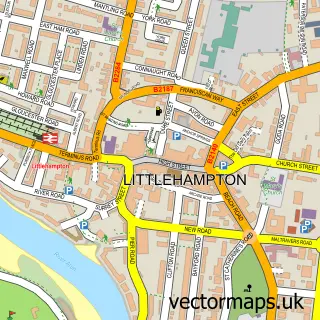
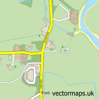
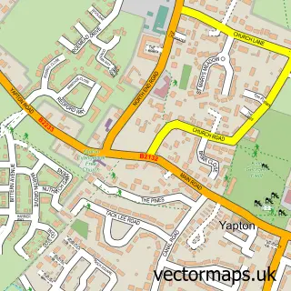
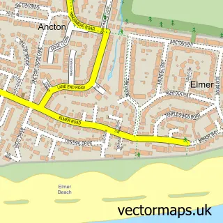
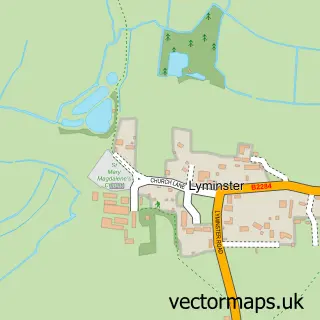
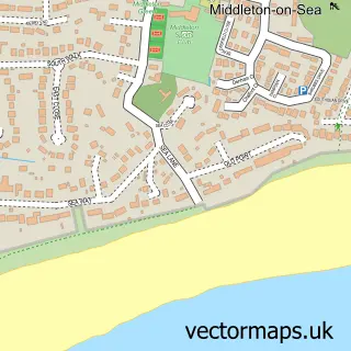
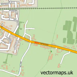
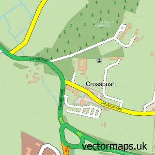
Nearby street map samples around Climping

More street maps in West Sussex
750 metre map area coverage
Boundary, postcode and point of interest information for the 750m x 750m rectangle centred on this sample map.
Boundaries containing map centre
Constituency: Bognor Regis and Littlehampton Boro Const
County: West Sussex County
District: Arun District
Icb: NHS Surrey and Sussex ICB
Parish: Climping CP
Police Force: sussex
Postcode District: BN17
Postcode Sector: BN17 5
Ward: Yapton Ward
Nearby boundaries intersecting sample
Parish: Ford CP
Postcode District: BN18
Postcode Sector: BN18 0
Postcode coverage
POI category counts
Automotive Repair: 2
Building Supply Store: 2
Contractor: 2
International Business And Trade Services: 2
Anglican Church: 1
Automotive: 1
Business Management Services: 1
Business Manufacturing And Supply: 1
Church Cathedral: 1
Cleaning Services: 1
Sample points of interest
- St Mary the Virgin Clymping
- S A S Custom Cycles
- Grays Garage
- Swanbourne Auto Works
- John Bayley Carpets
- Sussex Scaffolding Supplies
- Southern ID Solutions
- Heron Electric Company
- St Mary's Church
- Smarten Up
- Jemic
- Wizard Windows
Create a larger editable map of Climping
This sample shows only a 750 metre area. To create a larger map of Climping, use our map builder to choose your own coverage area, add titles and download editable SVG, PDF and PNG files.
Create a custom map of Climping