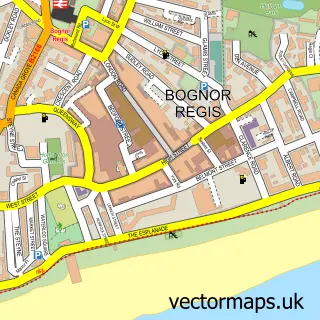
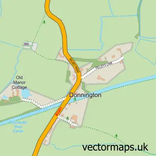
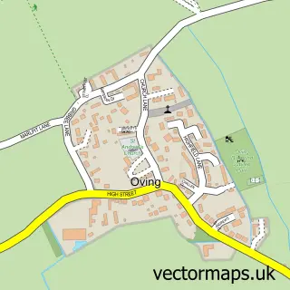
This Chichester street map is a detailed vector street map covering a 750m x 750m area. Select a larger area to create and download your own vector street map of Chichester.
The 750-metre map sample for Chichester covers 227 mapped buildings and approximately 19.3 km of road detail, of which 56 named roads are named. The immediate area includes 2 schools, 1 GP surgery, with 4 within 2 miles, 15 pubs and 17 MOT stations within 2 miles. The wider area around Chichester features 10 tourism points of interest, 63 food and drink venues and 9 hotels. To create a larger or custom map of Chichester, the map builder lets you define your own coverage area and download editable SVG, PDF and PNG files.
Create a larger editable map of Chichester
Choose any area you need and generate a high-quality vector map instantly. Perfect for print, planning, design, business and personal use.

This Chichester street map in West Sussex is available as downloadable SVG, PDF and PNG map files, or as a printed map for planning, business, display, education, local information and design work. You can also create a larger custom map area using the map selector.
What this Chichester map sample shows
Chichester lies within Appledram Cp parish, part of Harbour Villages ward in the Chichester District local authority area. The postcode geography for this area includes the PO postcode area, the PO20 postcode district and the PO20 7 postcode sector. Residents fall under the Nhs Sussex Integrated Care Board for NHS services.
Local features near Chichester
Within 2 milesAmenities and services in and around Chichester.
Administrative and postcode information for Chichester
The local authority covering Chichester is Chichester District, within the county of West Sussex. The settlement lies within Harbour Villages ward and Appledram Cp civil parish. The PO20 postcode district and PO20 7 postcode sector serve the immediate area. NHS provision in the area is delivered through University Hospitals Sussex Nhs Foundation Trust.
Nearby street map samples around Chichester
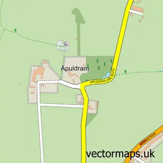
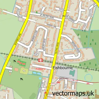
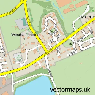
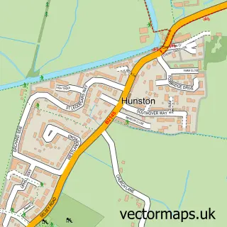
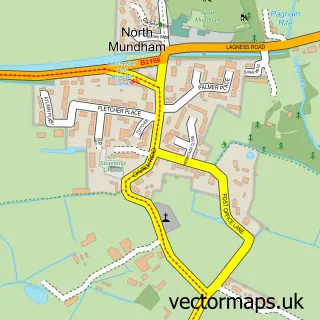
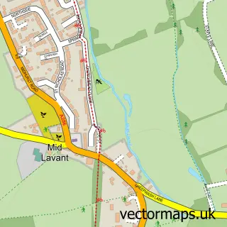
More street maps in West Sussex
750 metre map area coverage
Boundary, postcode and point of interest information for the 750m x 750m rectangle centred on this sample map.
Boundaries containing map centre
Constituency: Chichester Co Const
County: West Sussex County
District: Chichester District
Icb: NHS Surrey and Sussex ICB
Parish: Chichester CP
Police Force: sussex
Postcode District: PO19
Postcode Sector: PO19 1
Ward: Chichester Central Ward
Nearby boundaries intersecting sample
Postcode Sector: PO19 3, PO19 7, PO19 8
Ward: Chichester East Ward, Chichester South Ward, Chichester West Ward
Postcode coverage
POI category counts
Clothing Store: 44
Professional Services: 24
Cafe: 23
Hair Salon: 19
Jewelry Store: 19
Real Estate Agent: 19
Womens Clothing Store: 16
Pub: 15
Shoe Store: 14
Art Gallery: 13
Sample points of interest
- 4 Canon Lane
- Apex Accounting
- Sheen Stickland
- Standen Accounting Solutions
- Takestock
- The Chichester Accountants
- Jiggy Wrigglers Chichester, Bognor Regis and Surrounding Areas
- Trundle Hill Goodwood
- Harmony Acutherapy Clinic
- Zen Acupuncture
- Avalon Printing Co Limited
- Born Thinking
Create a larger editable map of Chichester
This sample shows only a 750 metre area. To create a larger map of Chichester, use our map builder to choose your own coverage area, add titles and download editable SVG, PDF and PNG files.
Create a custom map of Chichester