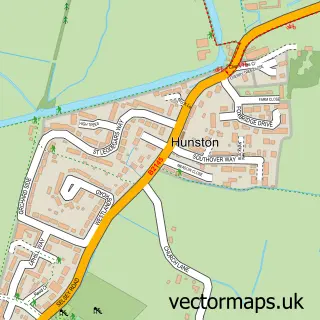
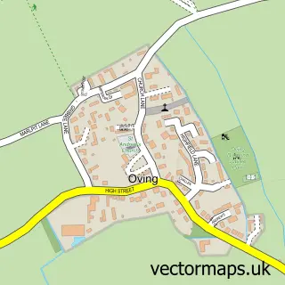
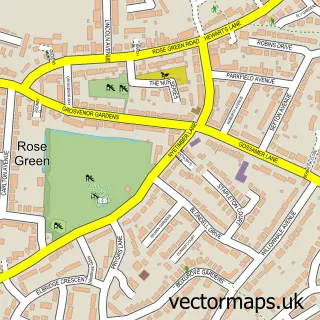
This North Mundham street map is a detailed vector street map covering a 750m x 750m area. Select a larger area to create and download your own vector street map of North Mundham.
The 750-metre map sample for North Mundham covers 183 mapped buildings and approximately 9.2 km of road detail, of which 16 named roads are named. The immediate area includes 1 school, 1 GP surgery within 2 miles and 15 MOT stations within 2 miles. The wider area around North Mundham features 1 campsite within 2 miles. To create a larger or custom map of North Mundham, the map builder lets you define your own coverage area and download editable SVG, PDF and PNG files.
Create a larger editable map of North Mundham
Choose any area you need and generate a high-quality vector map instantly. Perfect for print, planning, design, business and personal use.

This North Mundham street map in West Sussex is available as downloadable SVG, PDF and PNG map files, or as a printed map for planning, business, display, education, local information and design work. You can also create a larger custom map area using the map selector.
What this North Mundham map sample shows
North Mundham lies within North Mundham Cp parish, part of North Mundham & Tangmere ward in the Chichester District local authority area. The postcode geography for this area includes the PO postcode area, the PO20 postcode district and the PO20 1 postcode sector. Residents fall under the Nhs Sussex Integrated Care Board for NHS services.
Local features near North Mundham
Within 2 milesAmenities and services in and around North Mundham.
Administrative and postcode information for North Mundham
North Mundham lies within North Mundham Cp parish, part of North Mundham & Tangmere ward in the Chichester District local authority area. The postcode geography for this area includes the PO postcode area, the PO20 postcode district and the PO20 1 postcode sector. Residents fall under the Nhs Sussex Integrated Care Board for NHS services.
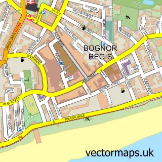
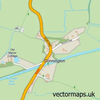
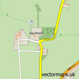
Nearby street map samples around North Mundham

More street maps in West Sussex
750 metre map area coverage
Boundary, postcode and point of interest information for the 750m x 750m rectangle centred on this sample map.
Boundaries containing map centre
Constituency: Chichester Co Const
County: West Sussex County
District: Chichester District
Icb: NHS Surrey and Sussex ICB
Parish: North Mundham CP
Police Force: sussex
Postcode District: PO20
Postcode Sector: PO20 1
Ward: North Mundham & Tangmere Ward
Nearby boundaries intersecting sample
Parish: Hunston CP
Postcode coverage
POI category counts
Accommodation: 1
Advertising Agency: 1
Automotive Repair: 1
Automotive Services And Repair: 1
Beauty And Spa: 1
Bed And Breakfast: 1
Church Cathedral: 1
Education: 1
Elementary School: 1
Event Planning: 1
Sample points of interest
- The Cottage
- Instafollowers
- Chris Jones Garage Services
- Phoenix SBS
- True touch aesthetics
- The Cottage B&B
- St Stephen's Church
- West Sussex Alternative Provisions College
- North Mundham Primary School
- North Mundham Village Hall
- Vitacress
- The Food Warehouse
Create a larger editable map of North Mundham
This sample shows only a 750 metre area. To create a larger map of North Mundham, use our map builder to choose your own coverage area, add titles and download editable SVG, PDF and PNG files.
Create a custom map of North Mundham