This Oving street map is a detailed vector street map covering a 750m x 750m area. Select a larger area to create and download your own vector street map of Oving.
The 750-metre map sample for Oving covers 145 mapped buildings and approximately 9.8 km of road detail, of which 11 named roads are named. The immediate area includes 1 GP surgery within 2 miles, 1 pub and 8 MOT stations within 2 miles. The wider area around Oving features 1 tourism point of interest, 2 food and drink venues and 1 hotel. To create a larger or custom map of Oving, the map builder lets you define your own coverage area and download editable SVG, PDF and PNG files.
Create a larger editable map of Oving
Choose any area you need and generate a high-quality vector map instantly. Perfect for print, planning, design, business and personal use.

This Oving street map in West Sussex is available as downloadable SVG, PDF and PNG map files, or as a printed map for planning, business, display, education, local information and design work. You can also create a larger custom map area using the map selector.
What this Oving map sample shows
Oving lies within Oving Cp parish, part of North Mundham & Tangmere ward in the Chichester District local authority area. The postcode geography for this area includes the PO postcode area, the PO20 postcode district and the PO20 2 postcode sector. Residents fall under the Nhs Sussex Integrated Care Board for NHS services.
Local features near Oving
Within 2 milesAmenities and services in and around Oving.
Administrative and postcode information for Oving
The local authority covering Oving is Chichester District, within the county of West Sussex. The settlement lies within North Mundham & Tangmere ward and Oving Cp civil parish. The PO20 postcode district and PO20 2 postcode sector serve the immediate area. NHS provision in the area is delivered through University Hospitals Sussex Nhs Foundation Trust.
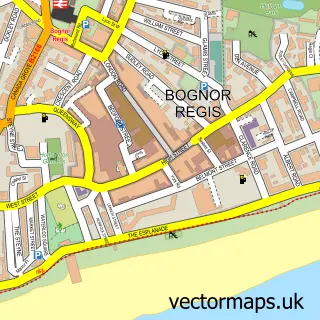
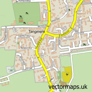
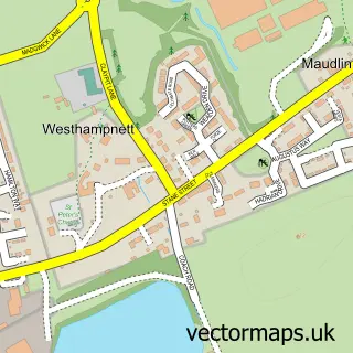
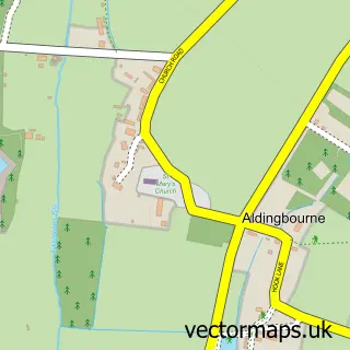
Nearby street map samples around Oving

More street maps in West Sussex
750 metre map area coverage
Boundary, postcode and point of interest information for the 750m x 750m rectangle centred on this sample map.
Boundaries containing map centre
Constituency: Chichester Co Const
County: West Sussex County
District: Chichester District
Icb: NHS Surrey and Sussex ICB
Parish: Oving CP
Police Force: sussex
Postcode District: PO20
Postcode Sector: PO20 2
Ward: North Mundham & Tangmere Ward
Nearby boundaries intersecting sample
Parish: Tangmere CP
Postcode coverage
POI category counts
Community Center: 2
Professional Services: 2
Veterinarian: 2
Anglican Church: 1
Attractions And Activities: 1
Beauty And Spa: 1
Bed And Breakfast: 1
Church Cathedral: 1
Electrician: 1
Event Planning: 1
Sample points of interest
- St Andrew
- Oving Community Garden
- Cariad Beauty
- Oving Lodge Bed And Breakfast
- St. Andrew's Church
- Ovin Jubilee Village Hall
- Oving Village Hall
- South Coast Electrical & Renewables
- Oving Jubilee Hall, Oving, Chichester, West Sussex
- The Floral Artisan
- Stillness Retreats
- Beacon House Therapeutic Services & Trauma Team
Create a larger editable map of Oving
This sample shows only a 750 metre area. To create a larger map of Oving, use our map builder to choose your own coverage area, add titles and download editable SVG, PDF and PNG files.
Create a custom map of Oving