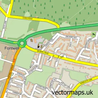
This Boxgrove street map is a detailed vector street map covering a 750m x 750m area. Select a larger area to create and download your own vector street map of Boxgrove.
The 750-metre map sample for Boxgrove covers 168 mapped buildings and approximately 6.6 km of road detail, of which 10 named roads are named. The immediate area includes 1 school, 1 GP surgery within 2 miles and 3 MOT stations within 2 miles. The wider area around Boxgrove features 1 tourism point of interest. To create a larger or custom map of Boxgrove, the map builder lets you define your own coverage area and download editable SVG, PDF and PNG files.
Create a larger editable map of Boxgrove
Choose any area you need and generate a high-quality vector map instantly. Perfect for print, planning, design, business and personal use.

This Boxgrove street map in West Sussex is available as downloadable SVG, PDF and PNG map files, or as a printed map for planning, business, display, education, local information and design work. You can also create a larger custom map area using the map selector.
What this Boxgrove map sample shows
Boxgrove lies within Boxgrove Cp parish, part of Goodwood ward in the Chichester District local authority area. The postcode geography for this area includes the PO postcode area, the PO18 postcode district and the PO18 0 postcode sector. Residents fall under the Nhs Sussex Integrated Care Board for NHS services.
Local features near Boxgrove
Within 2 milesAmenities and services in and around Boxgrove.
Administrative and postcode information for Boxgrove
The local authority covering Boxgrove is Chichester District, within the county of West Sussex. The settlement lies within Goodwood ward and Boxgrove Cp civil parish. The PO18 postcode district and PO18 0 postcode sector serve the immediate area. NHS provision in the area is delivered through University Hospitals Sussex Nhs Foundation Trust.
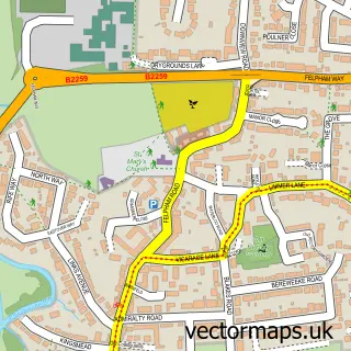
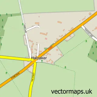
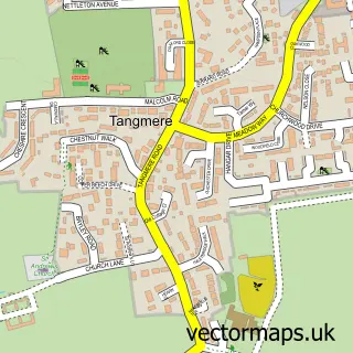
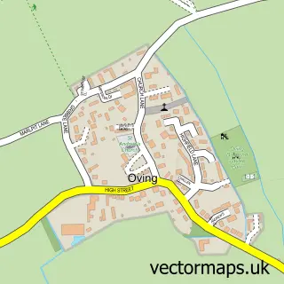
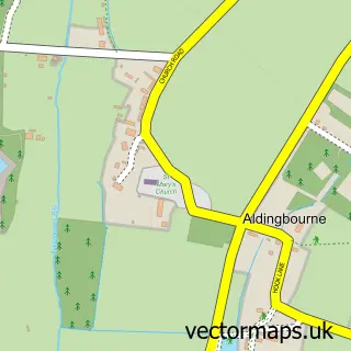
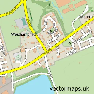
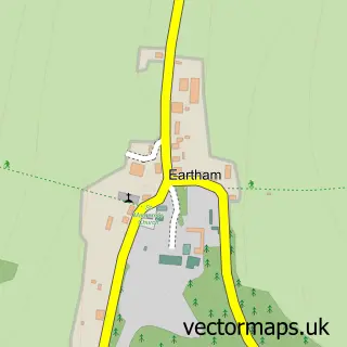
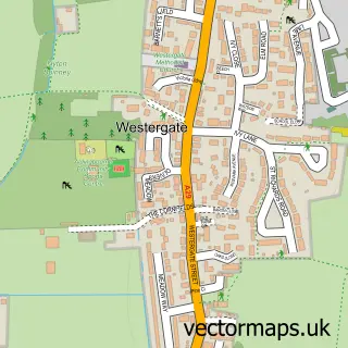
Nearby street map samples around Boxgrove

More street maps in West Sussex
750 metre map area coverage
Boundary, postcode and point of interest information for the 750m x 750m rectangle centred on this sample map.
Boundaries containing map centre
Constituency: Arundel and South Downs Co Const
County: West Sussex County
District: Chichester District
Icb: NHS Surrey and Sussex ICB
Parish: Boxgrove CP
Police Force: sussex
Postcode District: PO18
Postcode Sector: PO18 0
Ward: Goodwood Ward
Nearby boundaries intersecting sample
No additional intersecting boundaries found.
Postcode coverage
POI category counts
Bed And Breakfast: 2
Agriculture: 1
Anglican Church: 1
Architecture: 1
Arts And Crafts: 1
Beach: 1
Beauty Salon: 1
Convenience Store: 1
Doctor: 1
Ear Nose And Throat: 1
Sample points of interest
- S & P Tree Specialists
- Priory Church of St Mary & St Blaise
- Boxgrove Priory
- The Boxgrove Collective
- Selsey Beach
- Kate's Organic Hairdressing
- Nightingale Cottage Bed and Breakfast
- The Brufords Guest Accommodation
- Boxgrove Village Stores and Cafe to Go
- Southdowns Private Healthcare
- Just Ears Clinic Chichester
- Boxgrove C of E Primary School
Create a larger editable map of Boxgrove
This sample shows only a 750 metre area. To create a larger map of Boxgrove, use our map builder to choose your own coverage area, add titles and download editable SVG, PDF and PNG files.
Create a custom map of Boxgrove