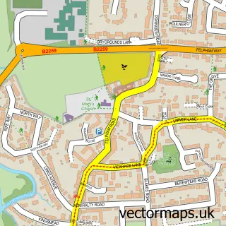
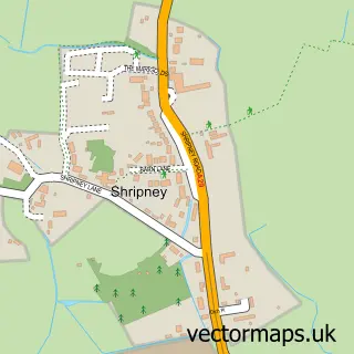
This Westergate street map is a detailed vector street map covering a 750m x 750m area. Select a larger area to create and download your own vector street map of Westergate.
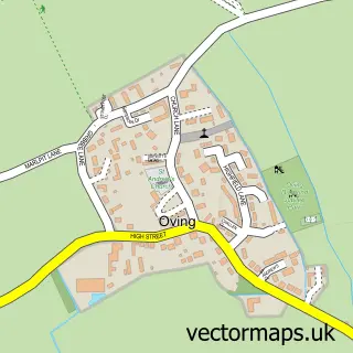
The 750-metre map sample for Westergate covers 331 mapped buildings and approximately 8.8 km of road detail, of which 21 named roads are named. The immediate area includes 1 school, 1 GP surgery within 2 miles and 2 MOT stations within 2 miles. The wider area around Westergate features 1 food and drink venue and 1 hotel. To create a larger or custom map of Westergate, the map builder lets you define your own coverage area and download editable SVG, PDF and PNG files.
Create a larger editable map of Westergate
Choose any area you need and generate a high-quality vector map instantly. Perfect for print, planning, design, business and personal use.

This Westergate street map in West Sussex is available as downloadable SVG, PDF and PNG map files, or as a printed map for planning, business, display, education, local information and design work. You can also create a larger custom map area using the map selector.
What this Westergate map sample shows
Westergate lies within Aldingbourne Cp parish, part of Barnham ward in the Arun District local authority area. The postcode geography for this area includes the PO postcode area, the PO20 postcode district and the PO20 3 postcode sector. Residents fall under the Nhs Sussex Integrated Care Board for NHS services.
Local features near Westergate
Within 2 milesAmenities and services in and around Westergate.
Administrative and postcode information for Westergate
Westergate lies within Aldingbourne Cp parish, part of Barnham ward in the Arun District local authority area. The postcode geography for this area includes the PO postcode area, the PO20 postcode district and the PO20 3 postcode sector. Residents fall under the Nhs Sussex Integrated Care Board for NHS services.
Nearby street map samples around Westergate

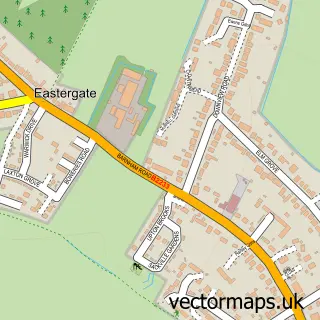
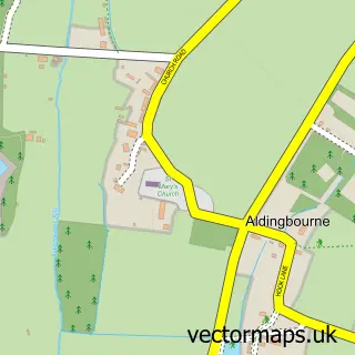
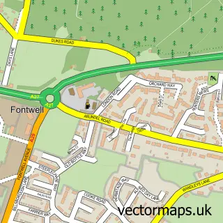
More street maps in West Sussex
750 metre map area coverage
Boundary, postcode and point of interest information for the 750m x 750m rectangle centred on this sample map.
Boundaries containing map centre
Constituency: Arundel and South Downs Co Const
County: West Sussex County
District: Arun District
Icb: NHS Surrey and Sussex ICB
Parish: Aldingbourne CP
Police Force: sussex
Postcode District: PO20
Postcode Sector: PO20 3
Ward: Barnham Ward
Nearby boundaries intersecting sample
No additional intersecting boundaries found.
Postcode coverage
POI category counts
Professional Services: 3
Active Life: 2
Building Supply Store: 2
College University: 2
Roofing: 2
Social Service Organizations: 2
Sports Club And League: 2
Accountant: 1
Agricultural Service: 1
Auto Electrical Repair: 1
Sample points of interest
- RK PARTNERS Chartered Accountants and Tax Advisers
- ((BOUNCE)) Arundel
- Olivers Meadows
- M.H Kennedy & Son
- Chichester Aerials
- Emberleaf Workshops
- Kim's Beauty Shack
- M H Kennedy & Son Ltd
- Plumbfirst Ltd
- * Sparkles * Mobile Car Valeting Chichester West Sussex Cars
- Westergate Methodist Church
- Westergate Community School
Create a larger editable map of Westergate
This sample shows only a 750 metre area. To create a larger map of Westergate, use our map builder to choose your own coverage area, add titles and download editable SVG, PDF and PNG files.
Create a custom map of Westergate