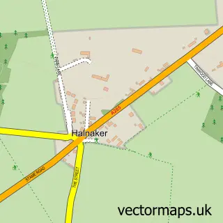
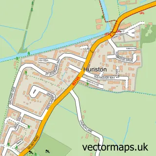
This Westhampnett street map is a detailed vector street map covering a 750m x 750m area. Select a larger area to create and download your own vector street map of Westhampnett.
The 750-metre map sample for Westhampnett covers 188 mapped buildings and approximately 9.7 km of road detail, of which 15 named roads are named. The immediate area includes 1 school, 5 GP surgeries within 2 miles and 2 MOT stations, with 10 within 2 miles. To create a larger or custom map of Westhampnett, the map builder lets you define your own coverage area and download editable SVG, PDF and PNG files.
Create a larger editable map of Westhampnett
Choose any area you need and generate a high-quality vector map instantly. Perfect for print, planning, design, business and personal use.

This Westhampnett street map in West Sussex is available as downloadable SVG, PDF and PNG map files, or as a printed map for planning, business, display, education, local information and design work. You can also create a larger custom map area using the map selector.
What this Westhampnett map sample shows
Westhampnett lies within Westhampnett Cp parish, part of Goodwood ward in the Chichester District local authority area. The postcode geography for this area includes the PO postcode area, the PO18 postcode district and the PO18 0 postcode sector. Residents fall under the Nhs Sussex Integrated Care Board for NHS services.
Local features near Westhampnett
Within 2 milesAmenities and services in and around Westhampnett.
Administrative and postcode information for Westhampnett
Westhampnett lies within Westhampnett Cp parish, part of Goodwood ward in the Chichester District local authority area. The postcode geography for this area includes the PO postcode area, the PO18 postcode district and the PO18 0 postcode sector. Residents fall under the Nhs Sussex Integrated Care Board for NHS services.
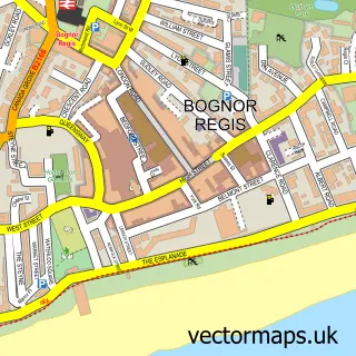
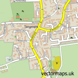
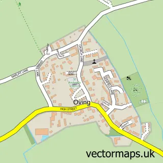
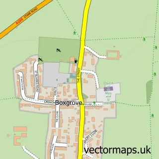
Nearby street map samples around Westhampnett

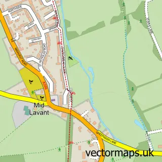
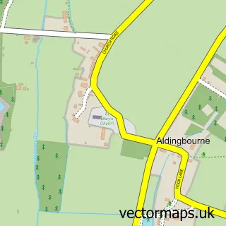
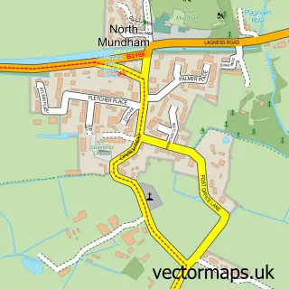
More street maps in West Sussex
750 metre map area coverage
Boundary, postcode and point of interest information for the 750m x 750m rectangle centred on this sample map.
Boundaries containing map centre
Constituency: Chichester Co Const
County: West Sussex County
District: Chichester District
Icb: NHS Surrey and Sussex ICB
Parish: Westhampnett CP
Police Force: sussex
Postcode District: PO18
Postcode Sector: PO18 0
Ward: Goodwood Ward
Nearby boundaries intersecting sample
Postcode District: PO19, PO20
Postcode Sector: PO19 7, PO20 2
Ward: North Mundham & Tangmere Ward
Postcode coverage
POI category counts
Recycling Center: 2
Retirement Home: 2
Taxi Service: 2
Anglican Church: 1
Assisted Living Facility: 1
Automotive Repair: 1
Bed And Breakfast: 1
Church Cathedral: 1
Community Services Non Profits: 1
Education: 1
Sample points of interest
- St Peter's, Westhampnett
- Westhampnett Private Nursing Home
- Everymans Garage
- The Old School B&B
- St Peter's Church
- Feeding Futures
- Training Excellence
- The March CofE Primary School
- Chichester Recycling Centre
- Parkers Venue
- TVC Visual Security Ltd
- Little Blue Door Nursery
Create a larger editable map of Westhampnett
This sample shows only a 750 metre area. To create a larger map of Westhampnett, use our map builder to choose your own coverage area, add titles and download editable SVG, PDF and PNG files.
Create a custom map of Westhampnett