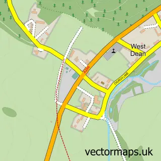
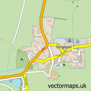
This Lavant street map is a detailed vector street map covering a 750m x 750m area. Select a larger area to create and download your own vector street map of Lavant.
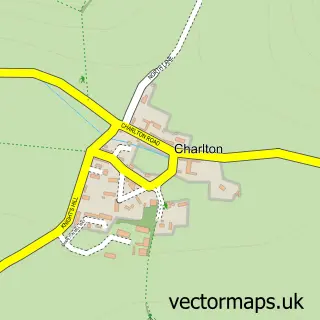
The 750-metre map sample for Lavant covers 154 mapped buildings and approximately 8.9 km of road detail, of which 12 named roads are named. The immediate area includes 1 school, 1 GP surgery within 2 miles and 1 MOT station. To create a larger or custom map of Lavant, the map builder lets you define your own coverage area and download editable SVG, PDF and PNG files.
Create a larger editable map of Lavant
Choose any area you need and generate a high-quality vector map instantly. Perfect for print, planning, design, business and personal use.

This Lavant street map in West Sussex is available as downloadable SVG, PDF and PNG map files, or as a printed map for planning, business, display, education, local information and design work. You can also create a larger custom map area using the map selector.
What this Lavant map sample shows
Lavant lies within Lavant Cp parish, part of Lavant ward in the Chichester District local authority area. The postcode geography for this area includes the PO postcode area, the PO18 postcode district and the PO18 0 postcode sector. Residents fall under the Nhs Sussex Integrated Care Board for NHS services.
Local features near Lavant
Within 2 milesAmenities and services in and around Lavant.
Administrative and postcode information for Lavant
The local authority covering Lavant is Chichester District, within the county of West Sussex. The settlement lies within Lavant ward and Lavant Cp civil parish. The PO18 postcode district and PO18 0 postcode sector serve the immediate area. NHS provision in the area is delivered through University Hospitals Sussex Nhs Foundation Trust.
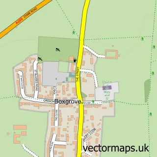
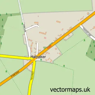
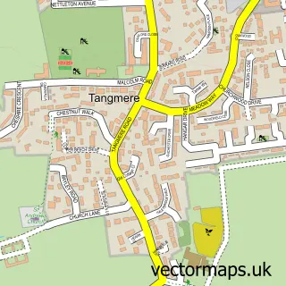
Nearby street map samples around Lavant

More street maps in West Sussex
750 metre map area coverage
Boundary, postcode and point of interest information for the 750m x 750m rectangle centred on this sample map.
Boundaries containing map centre
Constituency: Chichester Co Const
County: West Sussex County
District: Chichester District
Icb: NHS Surrey and Sussex ICB
Parish: Lavant CP
Police Force: sussex
Postcode District: PO18
Postcode Sector: PO18 0
Ward: Lavant Ward
Nearby boundaries intersecting sample
Postcode Sector: PO18 9
Postcode coverage
POI category counts
Bed And Breakfast: 2
Building Supply Store: 2
Professional Services: 2
Anglican Church: 1
Automotive Repair: 1
Construction Services: 1
Contractor: 1
Elementary School: 1
Pet Groomer: 1
Playground: 1
Sample points of interest
- St Nicholas
- A1 Autocare
- Hunters Lodge
- Riverside Bed and Breakfast
- Chichester Chimneys
- Homer's Professional Cleaning Solutions
- MT Harding Builders and Carpenters
- Sarah The Tiler
- Lavant CofE Primary School
- Vanity Fur Mobile Holistic Dog Grooming
- Lavant Play Park
- Lavant Post Office
Create a larger editable map of Lavant
This sample shows only a 750 metre area. To create a larger map of Lavant, use our map builder to choose your own coverage area, add titles and download editable SVG, PDF and PNG files.
Create a custom map of Lavant