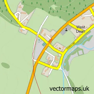
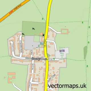
This Charlton street map is a detailed vector street map covering a 750m x 750m area. Select a larger area to create and download your own vector street map of Charlton.
The 750-metre map sample for Charlton covers 61 mapped buildings and approximately 10.7 km of road detail, of which 4 named roads are named. The immediate area includes 1 pub. The wider area around Charlton features 1 tourism point of interest, 1 food and drink venue and 1 hotel. To create a larger or custom map of Charlton, the map builder lets you define your own coverage area and download editable SVG, PDF and PNG files.
Create a larger editable map of Charlton
Choose any area you need and generate a high-quality vector map instantly. Perfect for print, planning, design, business and personal use.

This Charlton street map in West Sussex is available as downloadable SVG, PDF and PNG map files, or as a printed map for planning, business, display, education, local information and design work. You can also create a larger custom map area using the map selector.
What this Charlton map sample shows
Charlton lies within Singleton Cp parish, part of Goodwood ward in the Chichester District local authority area. The postcode geography for this area includes the PO postcode area, the PO18 postcode district and the PO18 0 postcode sector. Residents fall under the Nhs Sussex Integrated Care Board for NHS services.
Local features near Charlton
Within 2 milesAmenities and services in and around Charlton.
Administrative and postcode information for Charlton
The local authority covering Charlton is Chichester District, within the county of West Sussex. The settlement lies within Goodwood ward and Singleton Cp civil parish. The PO18 postcode district and PO18 0 postcode sector serve the immediate area. NHS provision in the area is delivered through University Hospitals Sussex Nhs Foundation Trust.
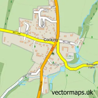
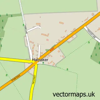
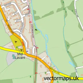
Nearby street map samples around Charlton

More street maps in West Sussex
750 metre map area coverage
Boundary, postcode and point of interest information for the 750m x 750m rectangle centred on this sample map.
Boundaries containing map centre
Constituency: Arundel and South Downs Co Const
County: West Sussex County
District: Chichester District
Icb: NHS Surrey and Sussex ICB
Parish: Singleton CP
Police Force: sussex
Postcode District: PO18
Postcode Sector: PO18 0
Ward: Goodwood Ward
Nearby boundaries intersecting sample
No additional intersecting boundaries found.
Postcode coverage
POI category counts
Advertising Agency: 1
Art School: 1
Building Supply Store: 1
Childrens Clothing Store: 1
Holiday Rental Home: 1
Hotel: 1
Landmark And Historical Building: 1
Plastic Manufacturer: 1
Professional Services: 1
Pub: 1
Sample points of interest
- White Pebble International
- The Textile Space
- A & G Lillywhite
- Fur Feather And Finl
- Fox Hall
- Woodstock Suites
- Charlton, West Sussex
- Goodwood Composites Ltd
- Avanti Press
- The Fox Goes Free
Create a larger editable map of Charlton
This sample shows only a 750 metre area. To create a larger map of Charlton, use our map builder to choose your own coverage area, add titles and download editable SVG, PDF and PNG files.
Create a custom map of Charlton