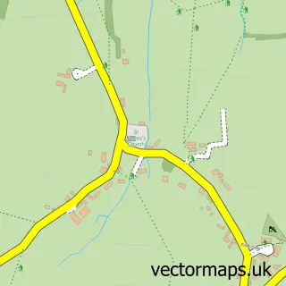
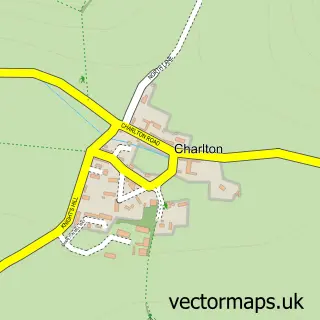
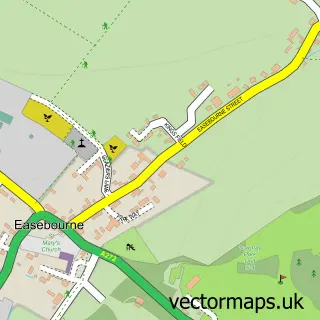
This Cocking street map is a detailed vector street map covering a 750m x 750m area. Select a larger area to create and download your own vector street map of Cocking.
The 750-metre map sample for Cocking covers 148 mapped buildings and approximately 14.0 km of road detail, of which 9 named roads are named. The immediate area includes 1 pub and 1 MOT station. The wider area around Cocking features 1 tourism point of interest and 1 food and drink venue. To create a larger or custom map of Cocking, the map builder lets you define your own coverage area and download editable SVG, PDF and PNG files.
Create a larger editable map of Cocking
Choose any area you need and generate a high-quality vector map instantly. Perfect for print, planning, design, business and personal use.

This Cocking street map in West Sussex is available as downloadable SVG, PDF and PNG map files, or as a printed map for planning, business, display, education, local information and design work. You can also create a larger custom map area using the map selector.
What this Cocking map sample shows
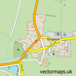
Cocking lies within Cocking Cp parish, part of Midhurst ward in the Chichester District local authority area. The postcode geography for this area includes the GU postcode area, the GU29 postcode district and the GU29 0 postcode sector. Residents fall under the Nhs Sussex Integrated Care Board for NHS services.
Local features near Cocking
Within 2 milesAmenities and services in and around Cocking.
Administrative and postcode information for Cocking
Cocking lies within Cocking Cp parish, part of Midhurst ward in the Chichester District local authority area. The postcode geography for this area includes the GU postcode area, the GU29 postcode district and the GU29 0 postcode sector. Residents fall under the Nhs Sussex Integrated Care Board for NHS services.
Nearby street map samples around Cocking

More street maps in West Sussex
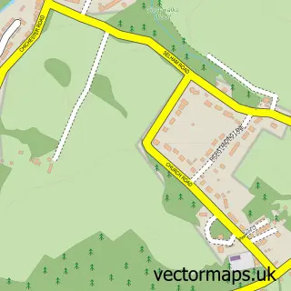
750 metre map area coverage
Boundary, postcode and point of interest information for the 750m x 750m rectangle centred on this sample map.
Boundaries containing map centre
Constituency: Arundel and South Downs Co Const
County: West Sussex County
District: Chichester District
Icb: NHS Surrey and Sussex ICB
Parish: Cocking CP
Police Force: sussex
Postcode District: GU29
Postcode Sector: GU29 0
Ward: Midhurst Ward
Nearby boundaries intersecting sample
Parish: Heyshott CP
Ward: Easebourne Ward
Postcode coverage
POI category counts
Community Center: 2
Antique Store: 1
Automotive Repair: 1
Church Cathedral: 1
Contractor: 1
Holiday Rental Home: 1
Landmark And Historical Building: 1
Legal Services: 1
Photography Store And Services: 1
Pub: 1
Sample points of interest
- Country Craft Cabin
- Milestone Garage
- St Catherine of Siena Church
- Blue Bell Community Hub
- Cocking Village Hall
- Merritts Property Maintenance
- Moonlight Cottage Tea Room
- Cocking, West Sussex
- Robin Bryant Consultancy
- Alan Massey
- The Blue Bell
- Cocking Post Office
Create a larger editable map of Cocking
This sample shows only a 750 metre area. To create a larger map of Cocking, use our map builder to choose your own coverage area, add titles and download editable SVG, PDF and PNG files.
Create a custom map of Cocking