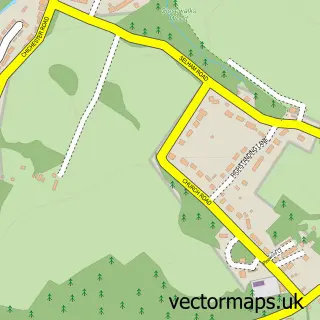
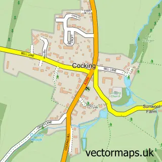
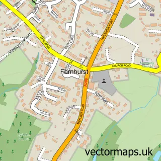
This Midhurst street map is a detailed vector street map covering a 750m x 750m area. Select a larger area to create and download your own vector street map of Midhurst.
The 750-metre map sample for Midhurst covers 401 mapped buildings and approximately 16.2 km of road detail, of which 40 named roads are named. The immediate area includes 1 school, 1 GP surgery within 2 miles, 6 pubs and 1 MOT station, with 3 within 2 miles. The wider area around Midhurst features 4 tourism points of interest, 16 food and drink venues and 4 hotels. To create a larger or custom map of Midhurst, the map builder lets you define your own coverage area and download editable SVG, PDF and PNG files.
Create a larger editable map of Midhurst
Choose any area you need and generate a high-quality vector map instantly. Perfect for print, planning, design, business and personal use.

This Midhurst street map in West Sussex is available as downloadable SVG, PDF and PNG map files, or as a printed map for planning, business, display, education, local information and design work. You can also create a larger custom map area using the map selector.
What this Midhurst map sample shows
Midhurst lies within Midhurst Cp parish, part of Midhurst ward in the Chichester District local authority area. The postcode geography for this area includes the GU postcode area, the GU29 postcode district and the GU29 9 postcode sector. Residents fall under the Nhs Sussex Integrated Care Board for NHS services.
Local features near Midhurst
Within 2 milesAmenities and services in and around Midhurst.
Administrative and postcode information for Midhurst
Midhurst lies within Midhurst Cp parish, part of Midhurst ward in the Chichester District local authority area. The postcode geography for this area includes the GU postcode area, the GU29 postcode district and the GU29 9 postcode sector. Residents fall under the Nhs Sussex Integrated Care Board for NHS services.
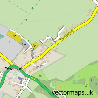
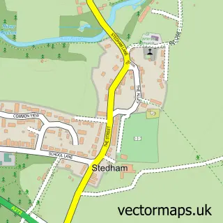
Nearby street map samples around Midhurst

More street maps in West Sussex
750 metre map area coverage
Boundary, postcode and point of interest information for the 750m x 750m rectangle centred on this sample map.
Boundaries containing map centre
Constituency: Arundel and South Downs Co Const
County: West Sussex County
District: Chichester District
Icb: NHS Surrey and Sussex ICB
Parish: Midhurst CP
Police Force: sussex
Postcode District: GU29
Postcode Sector: GU29 9
Ward: Midhurst Ward
Nearby boundaries intersecting sample
Parish: West Lavington CP
Postcode Sector: GU29 0
Postcode coverage
POI category counts
Beauty Salon: 8
Hair Salon: 7
Professional Services: 6
Pub: 6
Cafe: 5
Antique Store: 4
Banks: 4
Hotel: 4
Jewelry Store: 4
Real Estate Agent: 4
Sample points of interest
- Bayly & Co.
- Lewis Brownlee
- Midhurst Ambulance Station
- Deefer Dog Grooming
- Churchill Clocks
- Marmadukes
- The Country Brocante Store
- The Place On West Street
- King & Chasemore Lettings
- King And Chasemore Sales And Letting Agents Midhurst
- Stove House Showroom
- The Stove House
Create a larger editable map of Midhurst
This sample shows only a 750 metre area. To create a larger map of Midhurst, use our map builder to choose your own coverage area, add titles and download editable SVG, PDF and PNG files.
Create a custom map of Midhurst