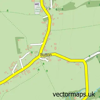
This Graffham street map is a detailed vector street map covering a 750m x 750m area. Select a larger area to create and download your own vector street map of Graffham.
The 750-metre map sample for Graffham covers 131 mapped buildings and approximately 7.4 km of road detail, of which 2 named roads are named. The immediate area includes 2 pubs. The wider area around Graffham features 2 food and drink venues, 1 hotel and 2 campsites within 2 miles. To create a larger or custom map of Graffham, the map builder lets you define your own coverage area and download editable SVG, PDF and PNG files.
Create a larger editable map of Graffham
Choose any area you need and generate a high-quality vector map instantly. Perfect for print, planning, design, business and personal use.

This Graffham street map in West Sussex is available as downloadable SVG, PDF and PNG map files, or as a printed map for planning, business, display, education, local information and design work. You can also create a larger custom map area using the map selector.
What this Graffham map sample shows
Graffham lies within Graffham Cp parish, part of Fittleworth ward in the Chichester District local authority area. The postcode geography for this area includes the GU postcode area, the GU28 postcode district and the GU28 0 postcode sector. Residents fall under the Nhs Sussex Integrated Care Board for NHS services.
Local features near Graffham
Within 2 milesAmenities and services in and around Graffham.
Administrative and postcode information for Graffham
Graffham lies within Graffham Cp parish, part of Fittleworth ward in the Chichester District local authority area. The postcode geography for this area includes the GU postcode area, the GU28 postcode district and the GU28 0 postcode sector. Residents fall under the Nhs Sussex Integrated Care Board for NHS services.
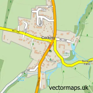
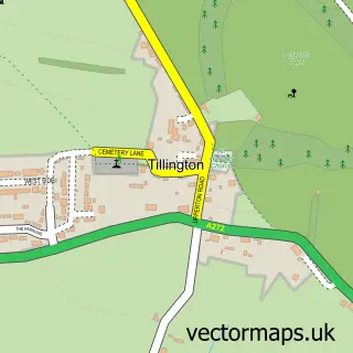
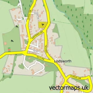
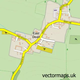
Nearby street map samples around Graffham

More street maps in West Sussex
750 metre map area coverage
Boundary, postcode and point of interest information for the 750m x 750m rectangle centred on this sample map.
Boundaries containing map centre
Constituency: Arundel and South Downs Co Const
County: West Sussex County
District: Chichester District
Icb: NHS Surrey and Sussex ICB
Parish: Graffham CP
Police Force: sussex
Postcode District: GU28
Postcode Sector: GU28 0
Ward: Fittleworth Ward
Nearby boundaries intersecting sample
Parish: East Lavington CP
Postcode coverage
POI category counts
Pub: 2
Advertising Agency: 1
Convenience Store: 1
Copywriting Service: 1
Event Planning: 1
Farm: 1
Hotel: 1
Osteopathic Physician: 1
Photography Store And Services: 1
Post Office: 1
Sample points of interest
- Jekyll PR
- Graffham Village Shop
- Persuasive essay
- Empire Hall Graffham
- Nonnington Farm
- Willow Barns
- Anna Shawcross Osteopathy
- Colin Barker Photography
- Graffham Post Office
- Graffham Nursery
- The Foresters Arms
- White Horse Pub
Create a larger editable map of Graffham
This sample shows only a 750 metre area. To create a larger map of Graffham, use our map builder to choose your own coverage area, add titles and download editable SVG, PDF and PNG files.
Create a custom map of Graffham