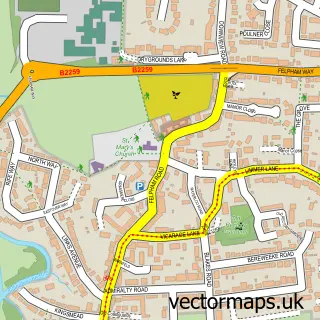
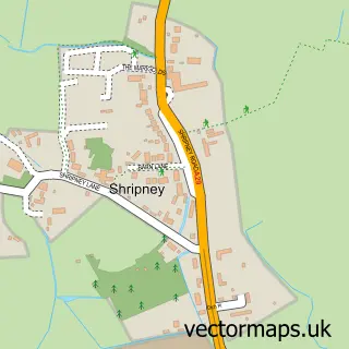
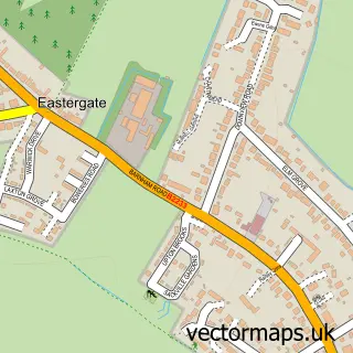
This Middleton on Sea street map is a detailed vector street map covering a 750m x 750m area. Select a larger area to create and download your own vector street map of Middleton on Sea.
The 750-metre map sample for Middleton on Sea covers 309 mapped buildings and approximately 6.1 km of road detail, of which 15 named roads are named. The immediate area includes 1 GP surgery within 2 miles and 3 MOT stations within 2 miles. The wider area around Middleton on Sea features 1 tourism point of interest and 1 campsite within 2 miles. To create a larger or custom map of Middleton on Sea, the map builder lets you define your own coverage area and download editable SVG, PDF and PNG files.
Create a larger editable map of Middleton on Sea
Choose any area you need and generate a high-quality vector map instantly. Perfect for print, planning, design, business and personal use.

This Middleton on Sea street map in West Sussex is available as downloadable SVG, PDF and PNG map files, or as a printed map for planning, business, display, education, local information and design work. You can also create a larger custom map area using the map selector.
What this Middleton on Sea map sample shows
Middleton on Sea lies within Middleton-On-Sea Cp parish, part of Middleton-On-Sea ward in the Arun District local authority area. The postcode geography for this area includes the PO postcode area, the PO22 postcode district and the PO22 6 postcode sector. Residents fall under the Nhs Sussex Integrated Care Board for NHS services.
Local features near Middleton on Sea
Within 2 milesAmenities and services in and around Middleton on Sea.
Administrative and postcode information for Middleton on Sea
The local authority covering Middleton on Sea is Arun District, within the county of West Sussex. The settlement lies within Middleton-On-Sea ward and Middleton-On-Sea Cp civil parish. The PO22 postcode district and PO22 6 postcode sector serve the immediate area. NHS provision in the area is delivered through University Hospitals Sussex Nhs Foundation Trust.
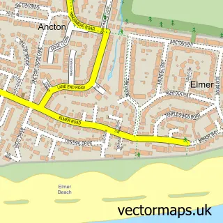
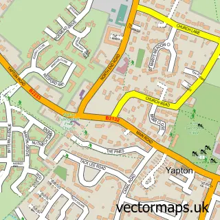
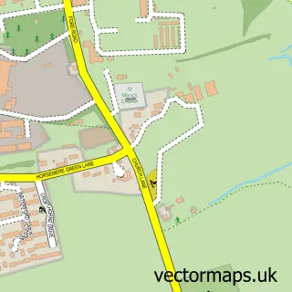
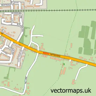
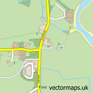
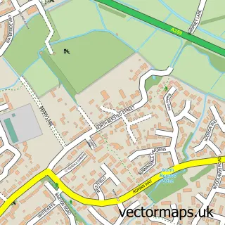
Nearby street map samples around Middleton on Sea

More street maps in West Sussex
750 metre map area coverage
Boundary, postcode and point of interest information for the 750m x 750m rectangle centred on this sample map.
Boundaries containing map centre
Constituency: Bognor Regis and Littlehampton Boro Const
County: West Sussex County
District: Arun District
Icb: NHS Surrey and Sussex ICB
Parish: Middleton-on-Sea CP
Police Force: sussex
Postcode District: PO22
Postcode Sector: PO22 7
Ward: Middleton-on-Sea Ward
Nearby boundaries intersecting sample
Postcode Sector: PO22 6
Postcode coverage
POI category counts
Sports Club And League: 4
Corporate Entertainment Services: 1
Dance School: 1
Landmark And Historical Building: 1
Medical Supply: 1
Pets: 1
Sample points of interest
- Rumshack Event Management
- Regis Dance and Wellbeing
- Middleton-On-Sea Village Fete
- Ardmore Healthcare
- Barking Mad Ltd.
- Middleton Bowls Club
- Middleton Cricket Club
- Middleton Sports Club
- Middleton Sports Club
Create a larger editable map of Middleton on Sea
This sample shows only a 750 metre area. To create a larger map of Middleton on Sea, use our map builder to choose your own coverage area, add titles and download editable SVG, PDF and PNG files.
Create a custom map of Middleton on Sea