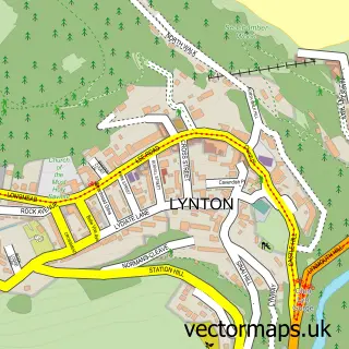
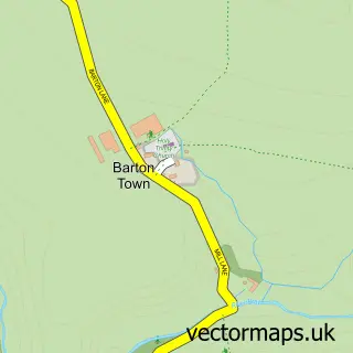
This Lynmouth street map is a detailed vector street map covering a 750m x 750m area. Select a larger area to create and download your own vector street map of Lynmouth.
The 750-metre map sample for Lynmouth covers 89 mapped buildings and approximately 14.8 km of road detail, of which 18 named roads are named. The immediate area includes 2 pubs and 1 MOT station within 2 miles. The wider area around Lynmouth features 7 tourism points of interest, 13 food and drink venues and 20 hotels. To create a larger or custom map of Lynmouth, the map builder lets you define your own coverage area and download editable SVG, PDF and PNG files.
Create a larger editable map of Lynmouth
Choose any area you need and generate a high-quality vector map instantly. Perfect for print, planning, design, business and personal use.

This Lynmouth street map in Devon is available as downloadable SVG, PDF and PNG map files, or as a printed map for planning, business, display, education, local information and design work. You can also create a larger custom map area using the map selector.
What this Lynmouth map sample shows
Lynmouth lies within Lynton And Lynmouth Cp parish, part of Lynton & Lynmouth ward in the North Devon District local authority area. The postcode geography for this area includes the EX postcode area, the EX35 postcode district and the EX35 6 postcode sector. Residents fall under the Nhs Devon Integrated Care Board for NHS services.
Local features near Lynmouth
Within 2 milesAmenities and services in and around Lynmouth.
Administrative and postcode information for Lynmouth
Lynmouth lies within Lynton And Lynmouth Cp parish, part of Lynton & Lynmouth ward in the North Devon District local authority area. The postcode geography for this area includes the EX postcode area, the EX35 postcode district and the EX35 6 postcode sector. Residents fall under the Nhs Devon Integrated Care Board for NHS services.
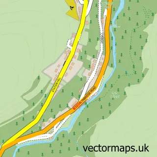
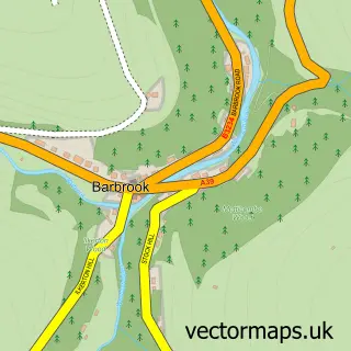
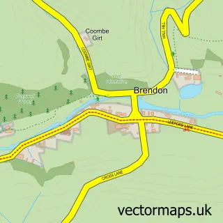
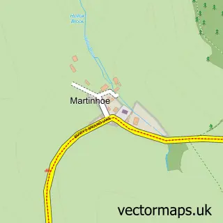
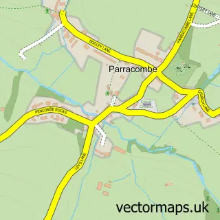
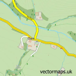
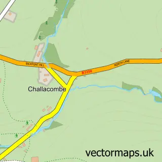
Nearby street map samples around Lynmouth

More street maps in Devon
750 metre map area coverage
Boundary, postcode and point of interest information for the 750m x 750m rectangle centred on this sample map.
Boundaries containing map centre
Constituency: North Devon Co Const
County: Devon County
District: North Devon District
Icb: NHS Devon ICB
Parish: Lynton and Lynmouth CP
Police Force: devon and cornwall
Postcode District: EX35
Postcode Sector: EX35 6
Ward: Lynton & Lynmouth Ward
Nearby boundaries intersecting sample
No additional intersecting boundaries found.
Postcode coverage
POI category counts
Hotel: 20
Bed And Breakfast: 16
Flowers And Gifts Shop: 10
Cafe: 6
Restaurant: 5
Holiday Rental Home: 4
Landmark And Historical Building: 4
Art Gallery: 3
Church Cathedral: 3
Clothing Store: 2
Sample points of interest
- Holein1 Lynmouth
- St John the Baptist
- Tim Williams Fine Art
- Ashleigh Bishop Gallery
- Gallery 500 feet
- Maurice Bishop
- Chef Nartnapa
- The Bake House
- Lynmouth Devon the Rising Sun Public Bar
- Marcelle Rose - Garage Barbershop
- Lynton and Lynmouth Beach
- Bonnicott House Hotel
Create a larger editable map of Lynmouth
This sample shows only a 750 metre area. To create a larger map of Lynmouth, use our map builder to choose your own coverage area, add titles and download editable SVG, PDF and PNG files.
Create a custom map of Lynmouth