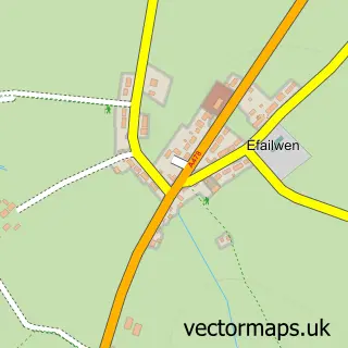
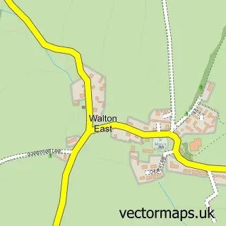
This Maenclochog street map is a detailed vector street map covering a 750m x 750m area. Select a larger area to create and download your own vector street map of Maenclochog.
The 750-metre map sample for Maenclochog covers 140 mapped buildings and approximately 10.9 km of road detail. The immediate area includes 1 school, 1 pub and 1 MOT station. The wider area around Maenclochog features 1 tourism point of interest, 2 food and drink venues and 2 campsites within 2 miles. To create a larger or custom map of Maenclochog, the map builder lets you define your own coverage area and download editable SVG, PDF and PNG files.
Create a larger editable map of Maenclochog
Choose any area you need and generate a high-quality vector map instantly. Perfect for print, planning, design, business and personal use.

This Maenclochog street map in Dyfed is available as downloadable SVG, PDF and PNG map files, or as a printed map for planning, business, display, education, local information and design work. You can also create a larger custom map area using the map selector.
What this Maenclochog map sample shows
Maenclochog lies within Maenclochog Community parish, part of Maenclochog ward in the Sir Benfro - Pembrokeshire local authority area. The postcode geography for this area includes the SA postcode area, the SA66 postcode district and the SA66 7 postcode sector. Residents fall under the Hywel Dda University Health Board for NHS services.
Local features near Maenclochog
Within 2 milesAmenities and services in and around Maenclochog.
Administrative and postcode information for Maenclochog
Maenclochog lies within Maenclochog Community parish, part of Maenclochog ward in the Sir Benfro - Pembrokeshire local authority area. The postcode geography for this area includes the SA postcode area, the SA66 postcode district and the SA66 7 postcode sector. Residents fall under the Hywel Dda University Health Board for NHS services.
Nearby street map samples around Maenclochog

More street maps in Dyfed
750 metre map area coverage
Boundary, postcode and point of interest information for the 750m x 750m rectangle centred on this sample map.
Boundaries containing map centre
Constituency: Ceredigion Preseli Co Const
District: Sir Benfro - Pembrokeshire
Icb: Hywel Dda
Parish: Maenclochog Community
Police Force: dyfed-powys
Postcode District: SA66
Postcode Sector: SA66 7
Nearby boundaries intersecting sample
No additional intersecting boundaries found.
Postcode coverage
POI category counts
Art Gallery: 1
Automotive Repair: 1
Cafe: 1
Campground: 1
Cosmetic And Beauty Supplies: 1
Event Planning: 1
Food Consultant: 1
Post Office: 1
Pub: 1
School: 1
Sample points of interest
- Oriel Linda Norris Gallery
- Central Garage
- Caffi'r Sgwar
- Temple Druid Wild Camping
- Fragrant Wales
- Maenclochog Village Hall
- Pretty Platters
- Maenclochog Sub Post Office
- Globe Inn
- Ysgol Gymunedol Maenclochog
- Sarah’s Newsagents Maenclochog
- Running Free Animal Physiotherapy
Create a larger editable map of Maenclochog
This sample shows only a 750 metre area. To create a larger map of Maenclochog, use our map builder to choose your own coverage area, add titles and download editable SVG, PDF and PNG files.
Create a custom map of Maenclochog