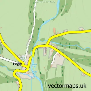
This Llandysilio street map is a detailed vector street map covering a 750m x 750m area. Select a larger area to create and download your own vector street map of Llandysilio.
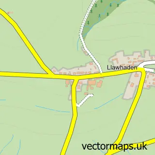
The 750-metre map sample for Llandysilio covers 123 mapped buildings and approximately 6.6 km of road detail, of which 2 named roads are named. The immediate area includes 1 school and 1 MOT station. The wider area around Llandysilio features 1 tourism point of interest. To create a larger or custom map of Llandysilio, the map builder lets you define your own coverage area and download editable SVG, PDF and PNG files.
Create a larger editable map of Llandysilio
Choose any area you need and generate a high-quality vector map instantly. Perfect for print, planning, design, business and personal use.

This Llandysilio street map in Dyfed is available as downloadable SVG, PDF and PNG map files, or as a printed map for planning, business, display, education, local information and design work. You can also create a larger custom map area using the map selector.
What this Llandysilio map sample shows
Llandysilio lies within Llandissilio West Community parish, part of Maenclochog ward in the Sir Benfro - Pembrokeshire local authority area. The postcode geography for this area includes the SA postcode area, the SA66 postcode district and the SA66 7 postcode sector. Residents fall under the Hywel Dda University Health Board for NHS services.
Local features near Llandysilio
Within 2 milesAmenities and services in and around Llandysilio.
Administrative and postcode information for Llandysilio
Llandysilio lies within Llandissilio West Community parish, part of Maenclochog ward in the Sir Benfro - Pembrokeshire local authority area. The postcode geography for this area includes the SA postcode area, the SA66 postcode district and the SA66 7 postcode sector. Residents fall under the Hywel Dda University Health Board for NHS services.
Nearby street map samples around Llandysilio
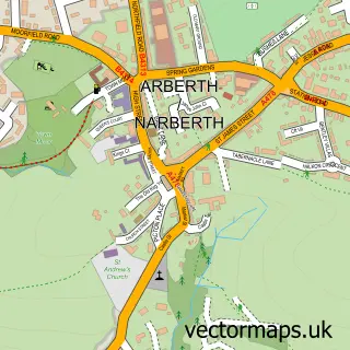

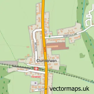
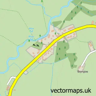
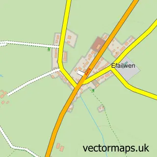
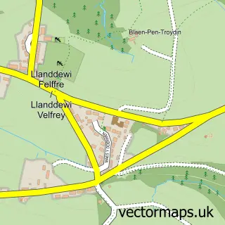
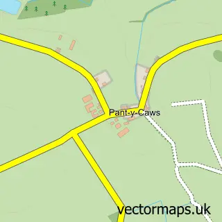
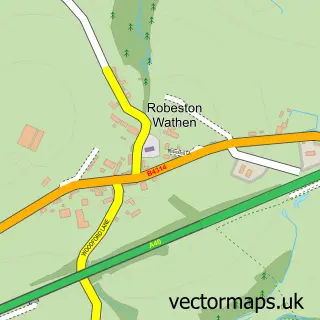
More street maps in Dyfed
750 metre map area coverage
Boundary, postcode and point of interest information for the 750m x 750m rectangle centred on this sample map.
Boundaries containing map centre
Constituency: Ceredigion Preseli Co Const
District: Sir Benfro - Pembrokeshire
Icb: Hywel Dda
Parish: Llandissilio West Community
Police Force: dyfed-powys
Postcode District: SA66
Postcode Sector: SA66 7
Nearby boundaries intersecting sample
No additional intersecting boundaries found.
Postcode coverage
POI category counts
Active Life: 1
Antique Store: 1
Building Supply Store: 1
Cottage: 1
Graphic Designer: 1
Holiday Rental Home: 1
Landmark And Historical Building: 1
Motorcycle Dealer: 1
Retail: 1
Road Contractor: 1
Sample points of interest
- Pembrokeshire Paths
- The Old Saddlery Antiques
- J B Owen
- Y-Bwthyn Holiday Cottage, Camping and Glamping
- Graphicwave Design
- Dyffryn Conin Farm Holiday Let
- Llandissilio
- Lamo's Motorcycles
- The Old Saddlery Antiques
- Adrian Llewellyn Groundworks Ltd.
- The Sewing Studio
- Yoga and massage with Amy Suzanne
Create a larger editable map of Llandysilio
This sample shows only a 750 metre area. To create a larger map of Llandysilio, use our map builder to choose your own coverage area, add titles and download editable SVG, PDF and PNG files.
Create a custom map of Llandysilio