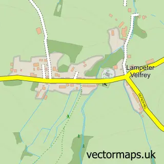
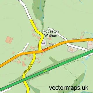
This Llanddewi Velfrey street map is a detailed vector street map covering a 750m x 750m area. Select a larger area to create and download your own vector street map of Llanddewi Velfrey.
The 750-metre map sample for Llanddewi Velfrey covers 94 mapped buildings and approximately 9.6 km of road detail, of which 1 named road are named. The wider area around Llanddewi Velfrey features 1 campsite within 2 miles. To create a larger or custom map of Llanddewi Velfrey, the map builder lets you define your own coverage area and download editable SVG, PDF and PNG files.
Create a larger editable map of Llanddewi Velfrey
Choose any area you need and generate a high-quality vector map instantly. Perfect for print, planning, design, business and personal use.

This Llanddewi Velfrey street map in Dyfed is available as downloadable SVG, PDF and PNG map files, or as a printed map for planning, business, display, education, local information and design work. You can also create a larger custom map area using the map selector.
What this Llanddewi Velfrey map sample shows
Llanddewi Velfrey lies within Llanddewi Velfrey Community parish, part of Lampeter Velfrey ward in the Sir Benfro - Pembrokeshire local authority area. The postcode geography for this area includes the SA postcode area, the SA67 postcode district and the SA67 7 postcode sector. Residents fall under the Hywel Dda University Health Board for NHS services.
Local features near Llanddewi Velfrey
Within 2 milesAmenities and services in and around Llanddewi Velfrey.
Administrative and postcode information for Llanddewi Velfrey
The local authority covering Llanddewi Velfrey is Sir Benfro - Pembrokeshire, within the county of Dyfed. The settlement lies within Lampeter Velfrey ward and Llanddewi Velfrey Community civil parish. The SA67 postcode district and SA67 7 postcode sector serve the immediate area. NHS provision in the area is delivered through Hywel Dda University Health Board.
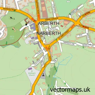
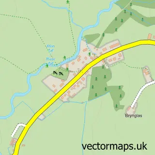
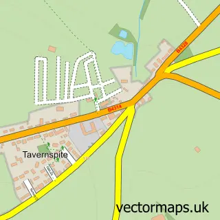
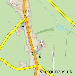
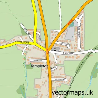
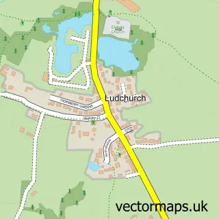
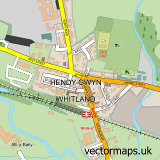
Nearby street map samples around Llanddewi Velfrey

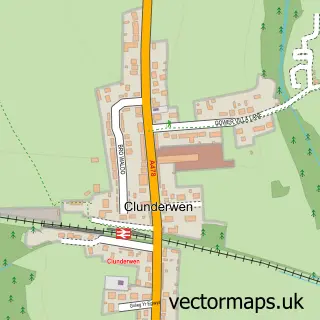
More street maps in Dyfed
750 metre map area coverage
Boundary, postcode and point of interest information for the 750m x 750m rectangle centred on this sample map.
Boundaries containing map centre
Constituency: Mid and South Pembrokeshire Co Const
District: Sir Benfro - Pembrokeshire
Icb: Hywel Dda
Parish: Llanddewi Velfrey Community
Police Force: dyfed-powys
Postcode District: SA67
Postcode Sector: SA67 7
Nearby boundaries intersecting sample
Postcode Sector: SA67 8
Postcode coverage
POI category counts
Accountant: 1
Bakery: 1
Barber: 1
Convenience Store: 1
Freight And Cargo Service: 1
Gas Station: 1
Land Surveying: 1
Motorcycle Dealer: 1
Personal Care Service: 1
Post Office: 1
Sample points of interest
- Kathryn Geary and Co. Ltd
- Nicci's Yard Gluten Free
- The Barbers (Mr B)
- Londis PRESELI FILLING STATION
- CWS Motorcycle Movers
- Preseli Services
- Tribrach Surveys and Civils
- CWS Motorcycle Movers
- Willow Tree School For Dogs
- Llanddewi-Velfrey Post Office
- West Wales Properties
- Post Office-Llanddewi-Velfrey
Create a larger editable map of Llanddewi Velfrey
This sample shows only a 750 metre area. To create a larger map of Llanddewi Velfrey, use our map builder to choose your own coverage area, add titles and download editable SVG, PDF and PNG files.
Create a custom map of Llanddewi Velfrey