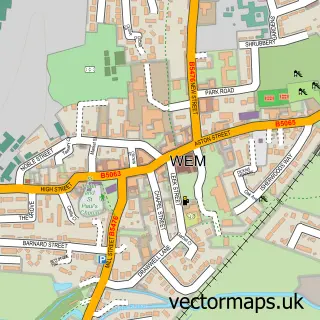
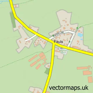
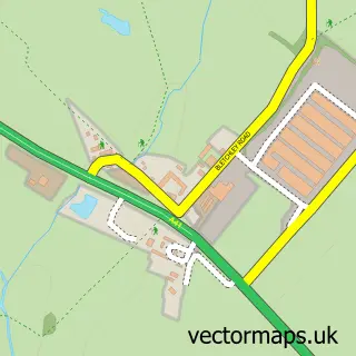
This Marchamley street map is a detailed vector street map covering a 750m x 750m area. Select a larger area to create and download your own vector street map of Marchamley.
The 750-metre map sample for Marchamley covers 121 mapped buildings and approximately 12.6 km of road detail, of which 4 named roads are named. The immediate area includes 1 GP surgery within 2 miles and 1 MOT station within 2 miles. To create a larger or custom map of Marchamley, the map builder lets you define your own coverage area and download editable SVG, PDF and PNG files.
Create a larger editable map of Marchamley
Choose any area you need and generate a high-quality vector map instantly. Perfect for print, planning, design, business and personal use.

This Marchamley street map in Shropshire is available as downloadable SVG, PDF and PNG map files, or as a printed map for planning, business, display, education, local information and design work. You can also create a larger custom map area using the map selector.
What this Marchamley map sample shows
Marchamley lies within Hodnet Cp parish, part of Hodnet ward in the Shropshire local authority area. The postcode geography for this area includes the SY postcode area, the SY4 postcode district and the SY4 5 postcode sector. Residents fall under the Nhs Shropshire, Telford And Wrekin Integrated Care Board for NHS services.
Local features near Marchamley
Within 2 milesAmenities and services in and around Marchamley.
Administrative and postcode information for Marchamley
Marchamley lies within Hodnet Cp parish, part of Hodnet ward in the Shropshire local authority area. The postcode geography for this area includes the SY postcode area, the SY4 postcode district and the SY4 5 postcode sector. Residents fall under the Nhs Shropshire, Telford And Wrekin Integrated Care Board for NHS services.
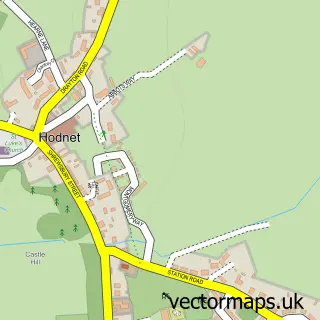
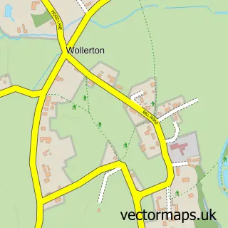
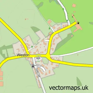
Nearby street map samples around Marchamley

More street maps in Shropshire
750 metre map area coverage
Boundary, postcode and point of interest information for the 750m x 750m rectangle centred on this sample map.
Boundaries containing map centre
Constituency: The Wrekin Co Const
District: Shropshire
Icb: NHS Shropshire Telford and Wrekin ICB
Parish: Hodnet CP
Police Force: west mercia
Postcode District: SY4
Postcode Sector: SY4 5
Nearby boundaries intersecting sample
Postcode District: TF9
Postcode Sector: TF9 3
Postcode coverage
POI category counts
Advertising Agency: 1
Agricultural Service: 1
Antique Store: 1
Business Consulting: 1
Driving School: 1
Real Estate Agent: 1
Shopping: 1
Social Service Organizations: 1
Web Designer: 1
Sample points of interest
- Cormoran
- Ellmor Limited
- Vintage 49a Shrewsbury
- Partners Management Advisors
- Fox Trax
- Development Planning and Management Limited
- Atlas Rugs
- Marchamley Club
- Busynets
Create a larger editable map of Marchamley
This sample shows only a 750 metre area. To create a larger map of Marchamley, use our map builder to choose your own coverage area, add titles and download editable SVG, PDF and PNG files.
Create a custom map of Marchamley