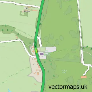
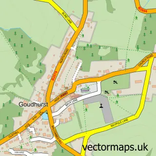
This Marden street map is a detailed vector street map covering a 750m x 750m area. Select a larger area to create and download your own vector street map of Marden.
The 750-metre map sample for Marden covers 446 mapped buildings and approximately 12.3 km of road detail, of which 36 named roads are named. The immediate area includes 1 railway station, 1 GP surgery, 2 pubs and 1 MOT station, with 2 within 2 miles. The wider area around Marden features 1 tourism point of interest, 3 food and drink venues and 1 campsite within 2 miles. To create a larger or custom map of Marden, the map builder lets you define your own coverage area and download editable SVG, PDF and PNG files.
Create a larger editable map of Marden
Choose any area you need and generate a high-quality vector map instantly. Perfect for print, planning, design, business and personal use.

This Marden street map in Kent is available as downloadable SVG, PDF and PNG map files, or as a printed map for planning, business, display, education, local information and design work. You can also create a larger custom map area using the map selector.
What this Marden map sample shows
Marden lies within Marden Cp parish, part of Marden And Yalding ward in the Maidstone District (B) local authority area. The postcode geography for this area includes the TN postcode area, the TN12 postcode district and the TN12 9 postcode sector. Residents fall under the Nhs Kent And Medway Integrated Care Board for NHS services.
Local features near Marden
Within 2 milesAmenities and services in and around Marden.
Administrative and postcode information for Marden
The local authority covering Marden is Maidstone District (B), within the county of Kent. The settlement lies within Marden And Yalding ward and Marden Cp civil parish. The TN12 postcode district and TN12 9 postcode sector serve the immediate area. NHS provision in the area is delivered through Maidstone And Tunbridge Wells Nhs Trust.
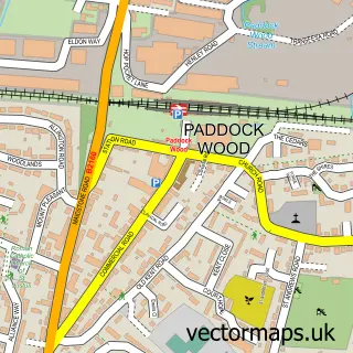
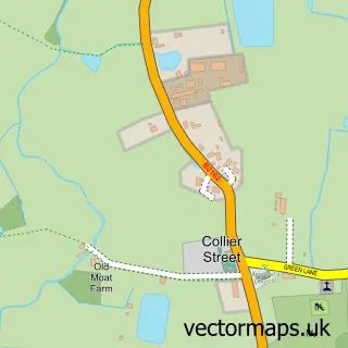
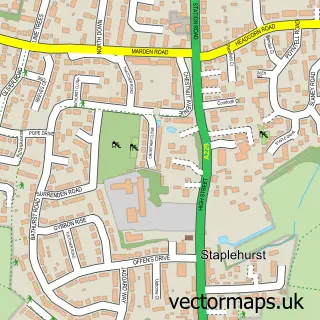
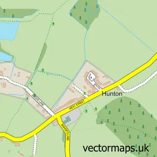
Nearby street map samples around Marden

More street maps in Kent
750 metre map area coverage
Boundary, postcode and point of interest information for the 750m x 750m rectangle centred on this sample map.
Boundaries containing map centre
Constituency: Weald of Kent Co Const
County: Kent County
District: Maidstone District (B)
Icb: NHS Kent and Medway ICB
Parish: Marden CP
Police Force: kent
Postcode District: TN12
Postcode Sector: TN12 9
Ward: Marden & Yalding Ward
Nearby boundaries intersecting sample
No additional intersecting boundaries found.
Postcode coverage
POI category counts
Convenience Store: 3
Dentist: 3
Sports Club And League: 3
Train Station: 3
Advertising Agency: 2
Business Management Services: 2
Flowers And Gifts Shop: 2
Gas Station: 2
Indian Restaurant: 2
Pharmacy: 2
Sample points of interest
- Bridgeland Copyright
- Impact
- St Michael & All Angels, Marden
- PayPoint
- Benten's Autocare Limited
- InstaVolt Charging Station
- The Marden Bakery
- NatWest
- Marden Cricket And Hockey
- Anno Distillers
- Lorna Green Bridal Accessories
- Gearbybear
Create a larger editable map of Marden
This sample shows only a 750 metre area. To create a larger map of Marden, use our map builder to choose your own coverage area, add titles and download editable SVG, PDF and PNG files.
Create a custom map of Marden