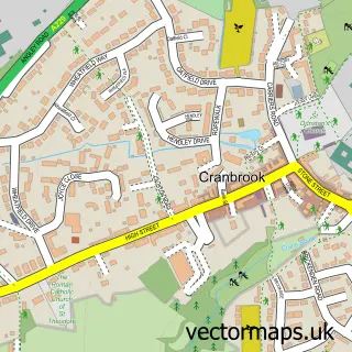
This Staplehurst street map is a detailed vector street map covering a 750m x 750m area. Select a larger area to create and download your own vector street map of Staplehurst.
The 750-metre map sample for Staplehurst covers 491 mapped buildings and approximately 16.9 km of road detail, of which 38 named roads are named. The immediate area includes 1 school, 1 pub and 1 MOT station, with 6 within 2 miles. The wider area around Staplehurst features 6 food and drink venues. To create a larger or custom map of Staplehurst, the map builder lets you define your own coverage area and download editable SVG, PDF and PNG files.
Create a larger editable map of Staplehurst
Choose any area you need and generate a high-quality vector map instantly. Perfect for print, planning, design, business and personal use.

This Staplehurst street map in Kent is available as downloadable SVG, PDF and PNG map files, or as a printed map for planning, business, display, education, local information and design work. You can also create a larger custom map area using the map selector.
What this Staplehurst map sample shows
Staplehurst lies within Staplehurst Cp parish, part of Staplehurst ward in the Maidstone District (B) local authority area. The postcode geography for this area includes the TN postcode area, the TN12 postcode district and the TN12 0 postcode sector. Residents fall under the Nhs Kent And Medway Integrated Care Board for NHS services.
Local features near Staplehurst
Within 2 milesAmenities and services in and around Staplehurst.
Administrative and postcode information for Staplehurst
Staplehurst lies within Staplehurst Cp parish, part of Staplehurst ward in the Maidstone District (B) local authority area. The postcode geography for this area includes the TN postcode area, the TN12 postcode district and the TN12 0 postcode sector. Residents fall under the Nhs Kent And Medway Integrated Care Board for NHS services.
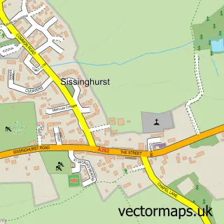
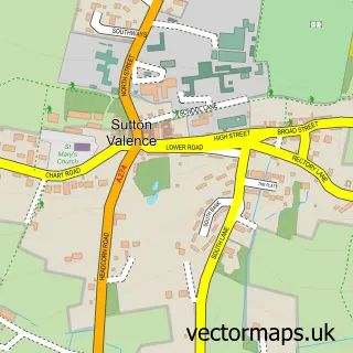
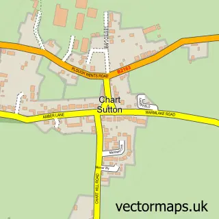
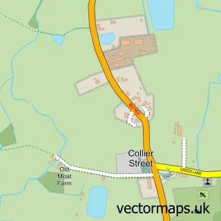
Nearby street map samples around Staplehurst


More street maps in Kent
750 metre map area coverage
Boundary, postcode and point of interest information for the 750m x 750m rectangle centred on this sample map.
Boundaries containing map centre
Constituency: Weald of Kent Co Const
County: Kent County
District: Maidstone District (B)
Icb: NHS Kent and Medway ICB
Parish: Staplehurst CP
Police Force: kent
Postcode District: TN12
Postcode Sector: TN12 0
Ward: Staplehurst Ward
Nearby boundaries intersecting sample
No additional intersecting boundaries found.
Postcode coverage
POI category counts
Dentist: 7
Professional Services: 6
Preschool: 5
Beauty Salon: 4
Coffee Shop: 4
Doctor: 4
Convenience Store: 3
Automotive Repair: 2
Charity Organization: 2
Interior Design: 2
Sample points of interest
- Made by Kent
- Jumeira Indian Restaurant
- BR Spar Staplehurst
- Central Garage Staplehurst
- Staplehurst Garage
- Justcroft International
- Greggs
- NatWest
- Life Style Barber
- KJ’s Hair Studio Staplehurst
- Kiri Gardner Beautician & Permanent Make Up Artist
- Retreat Sunbeds Beauty and Aesthetics
Create a larger editable map of Staplehurst
This sample shows only a 750 metre area. To create a larger map of Staplehurst, use our map builder to choose your own coverage area, add titles and download editable SVG, PDF and PNG files.
Create a custom map of Staplehurst