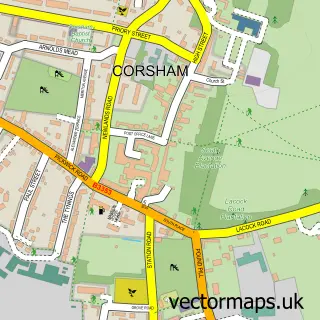
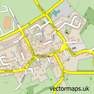
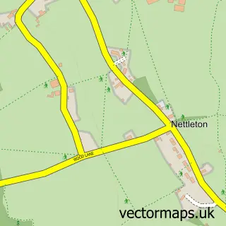
This Marshfield street map is a detailed vector street map covering a 750m x 750m area. Select a larger area to create and download your own vector street map of Marshfield.
The 750-metre map sample for Marshfield covers 284 mapped buildings and approximately 14.4 km of road detail, of which 27 named roads are named. The immediate area includes 4 pubs and 2 MOT stations, with 3 within 2 miles. The wider area around Marshfield features 1 tourism point of interest and 4 food and drink venues. To create a larger or custom map of Marshfield, the map builder lets you define your own coverage area and download editable SVG, PDF and PNG files.
Create a larger editable map of Marshfield
Choose any area you need and generate a high-quality vector map instantly. Perfect for print, planning, design, business and personal use.

This Marshfield street map in Gloucestershire is available as downloadable SVG, PDF and PNG map files, or as a printed map for planning, business, display, education, local information and design work. You can also create a larger custom map area using the map selector.
What this Marshfield map sample shows
Marshfield lies within Marshfield Cp parish, part of Boyd Valley ward in the South Gloucestershire local authority area. The postcode geography for this area includes the SN postcode area, the SN14 postcode district and the SN14 8 postcode sector. Residents fall under the Nhs Bristol, North Somerset And South Gloucestershire Integrated Care Board for NHS services.
Local features near Marshfield
Within 2 milesAmenities and services in and around Marshfield.
Administrative and postcode information for Marshfield
The local authority covering Marshfield is South Gloucestershire, within the county of Gloucestershire. The settlement lies within Boyd Valley ward and Marshfield Cp civil parish. The SN14 postcode district and SN14 8 postcode sector serve the immediate area. NHS provision in the area is delivered through Royal United Hospitals Bath Nhs Foundation Trust.
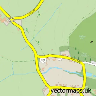
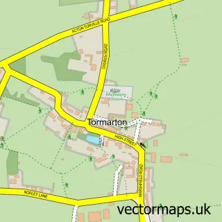
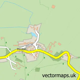
Nearby street map samples around Marshfield

More street maps in Gloucestershire
750 metre map area coverage
Boundary, postcode and point of interest information for the 750m x 750m rectangle centred on this sample map.
Boundaries containing map centre
Constituency: Thornbury and Yate Co Const
District: South Gloucestershire
Icb: NHS Bristol North Somerset and South Gloucestershire ICB
Parish: Marshfield CP
Police Force: avon and somerset
Postcode District: SN14
Postcode Sector: SN14 8
Ward: Boyd Valley Ward
Nearby boundaries intersecting sample
No additional intersecting boundaries found.
Postcode coverage
POI category counts
Pub: 4
Professional Services: 3
Veterinarian: 3
Building Supply Store: 2
Convenience Store: 2
Elementary School: 2
Post Office: 2
Anglican Church: 1
Arts And Crafts: 1
Automotive Repair: 1
Sample points of interest
- St Mary the Virgin
- The Makery
- Motoextreme
- Windrush
- Almondsbury Eco Heat
- You Build We Buy Limited
- Rose Island
- Marshfield Church
- Marshfield Community Centre
- Central Stores
- Country Stores
- Evri ParcelShop
Create a larger editable map of Marshfield
This sample shows only a 750 metre area. To create a larger map of Marshfield, use our map builder to choose your own coverage area, add titles and download editable SVG, PDF and PNG files.
Create a custom map of Marshfield