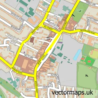
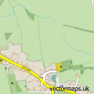
This Marston St. Lawrence street map is a detailed vector street map covering a 750m x 750m area. Select a larger area to create and download your own vector street map of Marston St. Lawrence.
The 750-metre map sample for Marston St. Lawrence covers 104 mapped buildings and approximately 19.0 km of road detail, of which 2 named roads are named. The immediate area includes 2 MOT stations within 2 miles. To create a larger or custom map of Marston St. Lawrence, the map builder lets you define your own coverage area and download editable SVG, PDF and PNG files.
Create a larger editable map of Marston St. Lawrence
Choose any area you need and generate a high-quality vector map instantly. Perfect for print, planning, design, business and personal use.

This Marston St. Lawrence street map in Northamptonshire is available as downloadable SVG, PDF and PNG map files, or as a printed map for planning, business, display, education, local information and design work. You can also create a larger custom map area using the map selector.
What this Marston St. Lawrence map sample shows
Marston St. Lawrence lies within Marston St. Lawrence Cp parish, part of Danvers And Wardoun ward in the West Northamptonshire local authority area. The postcode geography for this area includes the OX postcode area, the OX17 postcode district and the OX17 2 postcode sector. Residents fall under the Nhs Northamptonshire Integrated Care Board for NHS services.
Local features near Marston St. Lawrence
Within 2 milesAmenities and services in and around Marston St. Lawrence.
Administrative and postcode information for Marston St. Lawrence
Marston St. Lawrence lies within Marston St. Lawrence Cp parish, part of Danvers And Wardoun ward in the West Northamptonshire local authority area. The postcode geography for this area includes the OX postcode area, the OX17 postcode district and the OX17 2 postcode sector. Residents fall under the Nhs Northamptonshire Integrated Care Board for NHS services.
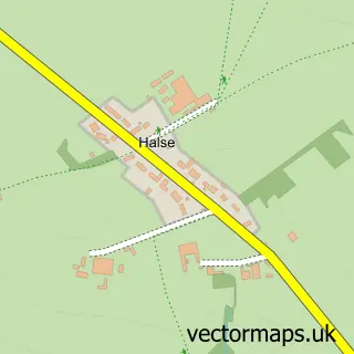
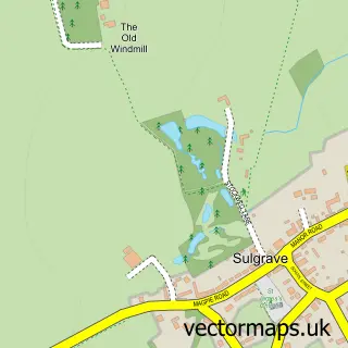
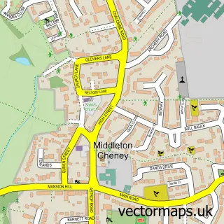
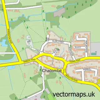
Nearby street map samples around Marston St. Lawrence

More street maps in Northamptonshire
750 metre map area coverage
Boundary, postcode and point of interest information for the 750m x 750m rectangle centred on this sample map.
Boundaries containing map centre
Constituency: South Northamptonshire Co Const
District: West Northamptonshire
Icb: NHS Northamptonshire ICB
Parish: Marston St. Lawrence CP
Police Force: northamptonshire
Postcode District: OX17
Postcode Sector: OX17 2
Ward: Middleton Cheney Ward
Nearby boundaries intersecting sample
No additional intersecting boundaries found.
Postcode coverage
POI category counts
Advertising Agency: 1
Anglican Church: 1
Bowling Alley: 1
Cricket Ground: 1
Equestrian Facility: 1
Farm: 1
Pet Store: 1
Sample points of interest
- Orlando Studios Ltd.
- St Lawrence
- Orlando Studios
- Marston St Lawrence Cricket Club
- Marston Stud
- Costow Farm Produce
- Homestead Farm Supplies
Create a larger editable map of Marston St. Lawrence
This sample shows only a 750 metre area. To create a larger map of Marston St. Lawrence, use our map builder to choose your own coverage area, add titles and download editable SVG, PDF and PNG files.
Create a custom map of Marston St. Lawrence