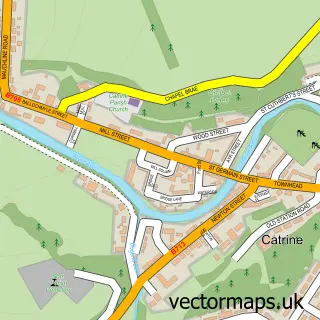
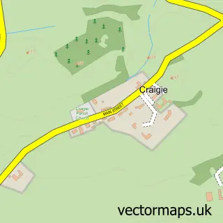
This Mauchline street map is a detailed vector street map covering a 750m x 750m area. Select a larger area to create and download your own vector street map of Mauchline.
The 750-metre map sample for Mauchline covers 447 mapped buildings and approximately 16.1 km of road detail, of which 40 named roads are named. The immediate area includes 3 pubs and 1 MOT station. The wider area around Mauchline features 3 tourism points of interest, 7 food and drink venues and 3 hotels. To create a larger or custom map of Mauchline, the map builder lets you define your own coverage area and download editable SVG, PDF and PNG files.
Create a larger editable map of Mauchline
Choose any area you need and generate a high-quality vector map instantly. Perfect for print, planning, design, business and personal use.

This Mauchline street map in Ayrshire and Arran is available as downloadable SVG, PDF and PNG map files, or as a printed map for planning, business, display, education, local information and design work. You can also create a larger custom map area using the map selector.
What this Mauchline map sample shows
Mauchline lies within East Ayrshire parish, part of Ballochmyle ward in the East Ayrshire local authority area. The postcode geography for this area includes the KA postcode area, the KA5 postcode district and the KA5 6 postcode sector. Residents fall under the Ayrshire And Arran for NHS services.
Local features near Mauchline
Within 2 milesAmenities and services in and around Mauchline.
Administrative and postcode information for Mauchline
The local authority covering Mauchline is East Ayrshire, within the county of Ayrshire And Arran. The settlement lies within Ballochmyle ward and East Ayrshire civil parish. The KA5 postcode district and KA5 6 postcode sector serve the immediate area. NHS provision in the area is delivered through Ayrshire And Arran.
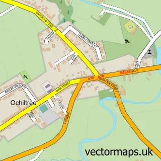
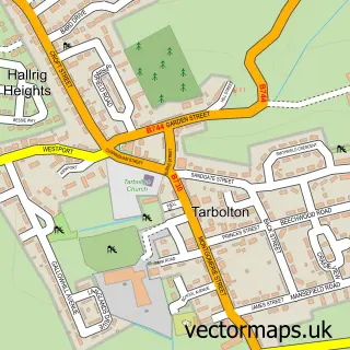
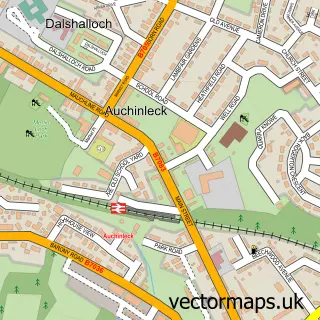
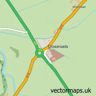
Nearby street map samples around Mauchline

More street maps in Ayrshire and Arran
750 metre map area coverage
Boundary, postcode and point of interest information for the 750m x 750m rectangle centred on this sample map.
Boundaries containing map centre
Constituency: Kilmarnock and Loudoun Co Const
District: East Ayrshire
Icb: Ayrshire and Arran
Postcode District: KA5
Postcode Sector: KA5 5
Ward: Ballochmyle Ward
Nearby boundaries intersecting sample
Postcode Sector: KA5 6
Postcode coverage
POI category counts
Beauty Salon: 9
Cafe: 3
Event Planning: 3
Flowers And Gifts Shop: 3
Hair Salon: 3
Hotel: 3
Pub: 3
Atms: 2
Bar: 2
Barber: 2
Sample points of interest
- Mint Accounting
- Nae-sae-new
- Blu Design
- Keystore Mauchline Superstore (Swap)
- The Cooperative Food (BF) Mauchline (ERF)
- Sharpe's Coachworks
- Mauchline Car Wash
- Unipart Car Care Centre
- Mossgiel Garage
- Bunny Beau Baby Boutique
- RBS
- Royal Bank of Scotland
Create a larger editable map of Mauchline
This sample shows only a 750 metre area. To create a larger map of Mauchline, use our map builder to choose your own coverage area, add titles and download editable SVG, PDF and PNG files.
Create a custom map of Mauchline