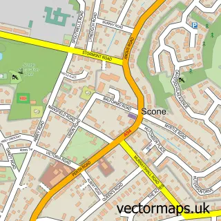
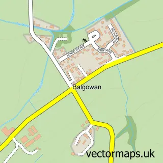
This Methven street map is a detailed vector street map covering a 750m x 750m area. Select a larger area to create and download your own vector street map of Methven.
The 750-metre map sample for Methven covers 334 mapped buildings and approximately 13.8 km of road detail, of which 25 named roads are named. The immediate area includes 1 pub and 2 MOT stations within 2 miles. The wider area around Methven features 1 tourism point of interest and 2 food and drink venues. To create a larger or custom map of Methven, the map builder lets you define your own coverage area and download editable SVG, PDF and PNG files.
Create a larger editable map of Methven
Choose any area you need and generate a high-quality vector map instantly. Perfect for print, planning, design, business and personal use.

This Methven street map in Perth and Kinross is available as downloadable SVG, PDF and PNG map files, or as a printed map for planning, business, display, education, local information and design work. You can also create a larger custom map area using the map selector.
What this Methven map sample shows
Methven lies within Perth And Kinross parish, part of Almond And Earn ward in the Perth And Kinross local authority area. The postcode geography for this area includes the PH postcode area, the PH1 postcode district and the PH1 3 postcode sector. Residents fall under the Tayside for NHS services.
Local features near Methven
Within 2 milesAmenities and services in and around Methven.
Administrative and postcode information for Methven
The local authority covering Methven is Perth And Kinross, within the county of Perth And Kinross. The settlement lies within Almond And Earn ward and Perth And Kinross civil parish. The PH1 postcode district and PH1 3 postcode sector serve the immediate area. NHS provision in the area is delivered through Tayside.
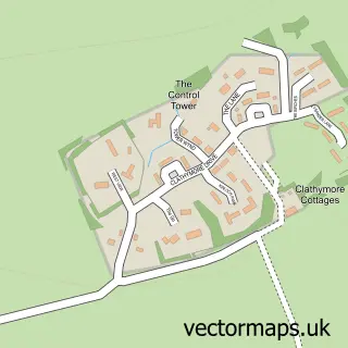
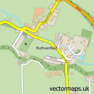
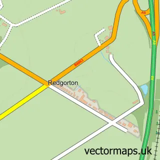
Nearby street map samples around Methven

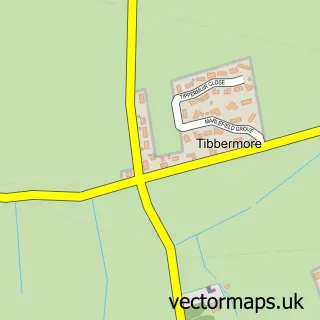
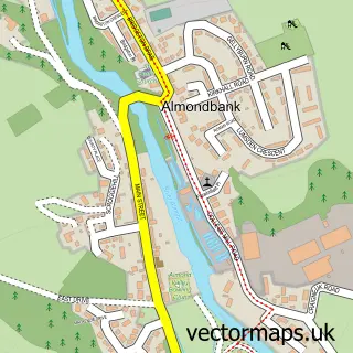
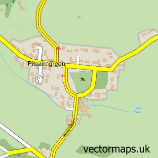

More street maps in Perth and Kinross
750 metre map area coverage
Boundary, postcode and point of interest information for the 750m x 750m rectangle centred on this sample map.
Boundaries containing map centre
Constituency: Perth and Kinross-shire Co Const
District: Perth and Kinross
Icb: Tayside
Postcode District: PH1
Postcode Sector: PH1 3
Ward: Almond and Earn Ward
Nearby boundaries intersecting sample
No additional intersecting boundaries found.
Postcode coverage
POI category counts
Contractor: 3
Doctor: 3
Automotive Repair: 2
Agricultural Service: 1
Appliance Repair Service: 1
Assisted Living Facility: 1
Bakery: 1
Bar: 1
Beauty Salon: 1
Building Contractor: 1
Sample points of interest
- BD Supplies Ltd
- Gordon Repair Service
- Dalnaglar Residential Care Homes
- Lawsons Garage
- Methven Motors
- Sour Joe's Artisan Sourdough
- The Bell Tree Inn
- Emma's Hair & Beauty Room
- Tom Adams Kitchens & Bathrooms
- The Little Acorn Cafe
- Methven & Logiealmond Church
- MCL Roofing
Create a larger editable map of Methven
This sample shows only a 750 metre area. To create a larger map of Methven, use our map builder to choose your own coverage area, add titles and download editable SVG, PDF and PNG files.
Create a custom map of Methven