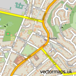
This Almondbank street map is a detailed vector street map covering a 750m x 750m area. Select a larger area to create and download your own vector street map of Almondbank.
The 750-metre map sample for Almondbank covers 262 mapped buildings and approximately 11.4 km of road detail, of which 18 named roads are named. The immediate area includes 1 pub and 8 MOT stations within 2 miles. The wider area around Almondbank features 3 food and drink venues and 1 campsite within 2 miles. To create a larger or custom map of Almondbank, the map builder lets you define your own coverage area and download editable SVG, PDF and PNG files.
Create a larger editable map of Almondbank
Choose any area you need and generate a high-quality vector map instantly. Perfect for print, planning, design, business and personal use.

This Almondbank street map in Perth and Kinross is available as downloadable SVG, PDF and PNG map files, or as a printed map for planning, business, display, education, local information and design work. You can also create a larger custom map area using the map selector.
What this Almondbank map sample shows
Almondbank lies within Perth And Kinross parish, part of Strathtay ward in the Perth And Kinross local authority area. The postcode geography for this area includes the PH postcode area, the PH1 postcode district and the PH1 3 postcode sector. Residents fall under the Tayside for NHS services.
Local features near Almondbank
Within 2 milesAmenities and services in and around Almondbank.
Administrative and postcode information for Almondbank
The local authority covering Almondbank is Perth And Kinross, within the county of Perth And Kinross. The settlement lies within Strathtay ward and Perth And Kinross civil parish. The PH1 postcode district and PH1 3 postcode sector serve the immediate area. NHS provision in the area is delivered through Tayside.
Nearby street map samples around Almondbank

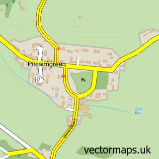
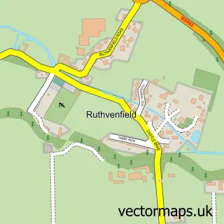

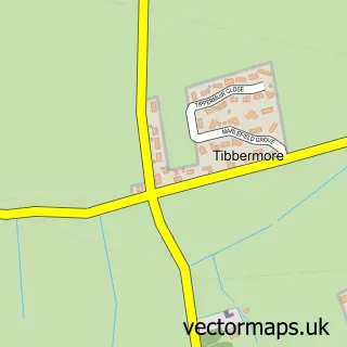
More street maps in Perth and Kinross
750 metre map area coverage
Boundary, postcode and point of interest information for the 750m x 750m rectangle centred on this sample map.
Boundaries containing map centre
Constituency: Perth and Kinross-shire Co Const
District: Perth and Kinross
Icb: Tayside
Postcode District: PH1
Postcode Sector: PH1 3
Ward: Strathtay Ward
Nearby boundaries intersecting sample
No additional intersecting boundaries found.
Postcode coverage
POI category counts
Cafe: 2
Church Cathedral: 2
Painting: 2
Arts And Entertainment: 1
Beauty Salon: 1
Catholic Church: 1
Elementary School: 1
Gym: 1
Home Cleaning: 1
Korean Grocery Store: 1
Sample points of interest
- RJG Sketchbook
- Eyeconic Beauty
- Revive Cafe
- Tickled Trout Cafe
- Almondbank Tibbermore
- Almondbank Tibbermore Church
- Tibbermore Church
- Pitcairn Primary School
- A1 Bouncy Fun
- Weronika Cleaning and Ironing Service
- Post Office
- Blossom Garden Services
Create a larger editable map of Almondbank
This sample shows only a 750 metre area. To create a larger map of Almondbank, use our map builder to choose your own coverage area, add titles and download editable SVG, PDF and PNG files.
Create a custom map of Almondbank