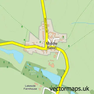
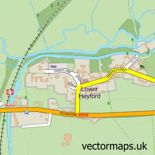
This Middle Barton street map is a detailed vector street map covering a 750m x 750m area. Select a larger area to create and download your own vector street map of Middle Barton.
The 750-metre map sample for Middle Barton covers 374 mapped buildings and approximately 28.3 km of road detail, of which 24 named roads are named. The immediate area includes 1 school and 1 MOT station, with 2 within 2 miles. The wider area around Middle Barton features 1 hotel. To create a larger or custom map of Middle Barton, the map builder lets you define your own coverage area and download editable SVG, PDF and PNG files.
Create a larger editable map of Middle Barton
Choose any area you need and generate a high-quality vector map instantly. Perfect for print, planning, design, business and personal use.

This Middle Barton street map in Oxfordshire is available as downloadable SVG, PDF and PNG map files, or as a printed map for planning, business, display, education, local information and design work. You can also create a larger custom map area using the map selector.
What this Middle Barton map sample shows
Middle Barton lies within Westcot Barton Cp parish, part of The Bartons ward in the West Oxfordshire District local authority area. The postcode geography for this area includes the OX postcode area, the OX7 postcode district and the OX7 7 postcode sector. Residents fall under the Nhs Buckinghamshire, Oxfordshire And Berkshire West Integrated Care Board for NHS services.
Local features near Middle Barton
Within 2 milesAmenities and services in and around Middle Barton.
Administrative and postcode information for Middle Barton
The local authority covering Middle Barton is West Oxfordshire District, within the county of Oxfordshire. The settlement lies within The Bartons ward and Westcot Barton Cp civil parish. The OX7 postcode district and OX7 7 postcode sector serve the immediate area. NHS provision in the area is delivered through Oxford University Hospitals Nhs Foundation Trust.
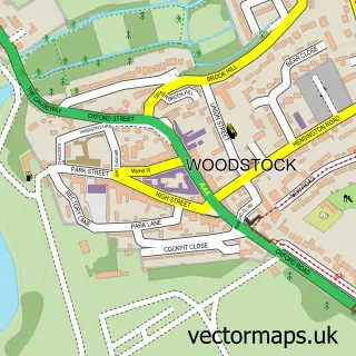
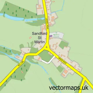
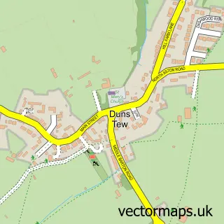
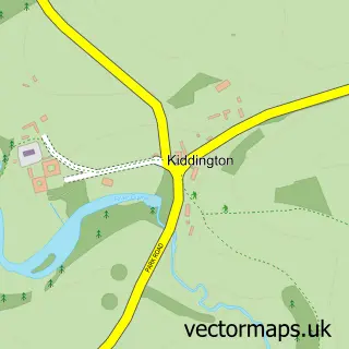
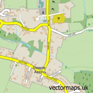
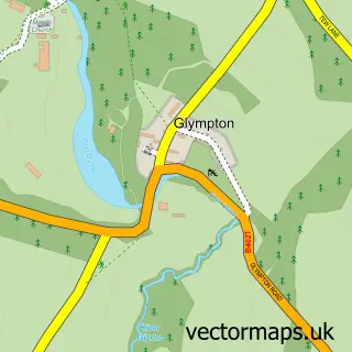
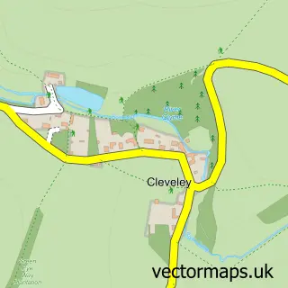
Nearby street map samples around Middle Barton

More street maps in Oxfordshire
750 metre map area coverage
Boundary, postcode and point of interest information for the 750m x 750m rectangle centred on this sample map.
Boundaries containing map centre
Constituency: Banbury Co Const
County: Oxfordshire County
District: West Oxfordshire District
Icb: NHS Thames Valley ICB
Parish: Steeple Barton CP
Police Force: thames valley
Postcode District: OX7
Postcode Sector: OX7 7
Ward: The Bartons Ward
Nearby boundaries intersecting sample
Parish: Westcot Barton CP
Postcode coverage
POI category counts
Education: 2
Grocery Store: 2
Sports Club And League: 2
Assisted Living Facility: 1
Automotive Parts And Accessories: 1
Automotive Repair: 1
Bar: 1
Bookkeeper: 1
Business Manufacturing And Supply: 1
Carpenter: 1
Sample points of interest
- Hillcrest
- Cotswold Automotive Parts
- Ernigrip Motors
- The Bartons Memorial Sports & Social Club
- Oxford Book Keepers Ltd.
- Ackerman and Niece
- JBH Carpentry
- Wandering Eve
- Post Office Travel Money
- Middle Barton Pre School
- Wild For Words
- Fran Bird FAB Horses
Create a larger editable map of Middle Barton
This sample shows only a 750 metre area. To create a larger map of Middle Barton, use our map builder to choose your own coverage area, add titles and download editable SVG, PDF and PNG files.
Create a custom map of Middle Barton