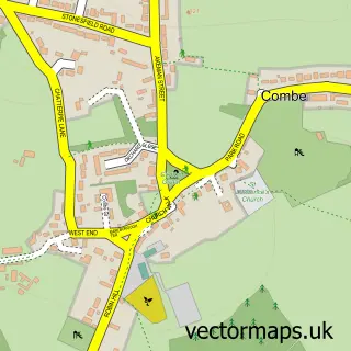
This Woodstock street map is a detailed vector street map covering a 750m x 750m area. Select a larger area to create and download your own vector street map of Woodstock.
The 750-metre map sample for Woodstock covers 242 mapped buildings and approximately 26.1 km of road detail, of which 24 named roads are named. The immediate area includes 1 GP surgery, 10 pubs and 3 MOT stations within 2 miles. The wider area around Woodstock features 8 tourism points of interest, 14 food and drink venues and 6 hotels. To create a larger or custom map of Woodstock, the map builder lets you define your own coverage area and download editable SVG, PDF and PNG files.
Create a larger editable map of Woodstock
Choose any area you need and generate a high-quality vector map instantly. Perfect for print, planning, design, business and personal use.

This Woodstock street map in Oxfordshire is available as downloadable SVG, PDF and PNG map files, or as a printed map for planning, business, display, education, local information and design work. You can also create a larger custom map area using the map selector.
What this Woodstock map sample shows
Woodstock lies within Woodstock Cp parish, part of Woodstock And Bladon ward in the West Oxfordshire District local authority area. The postcode geography for this area includes the OX postcode area, the OX20 postcode district and the OX20 1 postcode sector. Residents fall under the Nhs Buckinghamshire, Oxfordshire And Berkshire West Integrated Care Board for NHS services.
Local features near Woodstock
Within 2 milesAmenities and services in and around Woodstock.
Administrative and postcode information for Woodstock
Woodstock lies within Woodstock Cp parish, part of Woodstock And Bladon ward in the West Oxfordshire District local authority area. The postcode geography for this area includes the OX postcode area, the OX20 postcode district and the OX20 1 postcode sector. Residents fall under the Nhs Buckinghamshire, Oxfordshire And Berkshire West Integrated Care Board for NHS services.
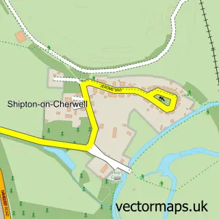
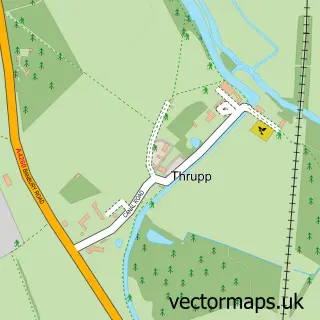
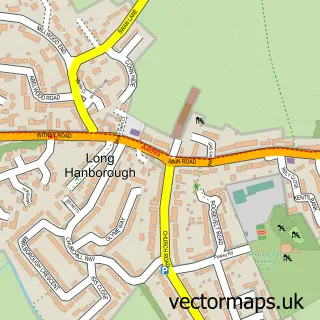
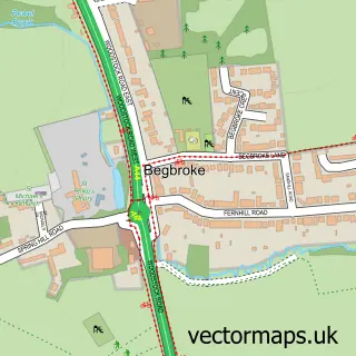
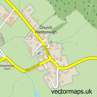
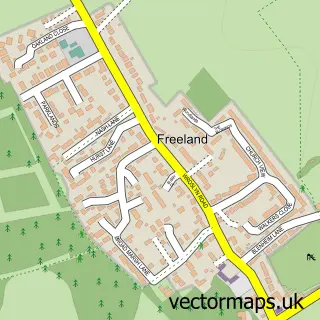
Nearby street map samples around Woodstock


More street maps in Oxfordshire
750 metre map area coverage
Boundary, postcode and point of interest information for the 750m x 750m rectangle centred on this sample map.
Boundaries containing map centre
Constituency: Bicester and Woodstock Co Const
County: Oxfordshire County
District: West Oxfordshire District
Icb: NHS Thames Valley ICB
Parish: Woodstock CP
Police Force: thames valley
Postcode District: OX20
Postcode Sector: OX20 1
Ward: Woodstock and Bladon Ward
Nearby boundaries intersecting sample
Parish: Blenheim CP
Postcode coverage
POI category counts
Pub: 10
Art Gallery: 6
Hair Salon: 6
Hotel: 6
Antique Store: 5
Bed And Breakfast: 4
Church Cathedral: 4
Museum: 4
Real Estate Agent: 4
Bookstore: 3
Sample points of interest
- Rebecca’s Home Sort
- Woodstock Accountancy
- Preference PR
- Rule of Three
- Antiques At Heritage
- Antiques of Woodstock
- John Howard Antique Pottery
- Reeve Antiques
- Woodstock Arts And Antiques
- NCA | Architecture
- 1 Market Street Woodstock Limited
- Dantzig Modern and Contemporary Art Gallery
Create a larger editable map of Woodstock
This sample shows only a 750 metre area. To create a larger map of Woodstock, use our map builder to choose your own coverage area, add titles and download editable SVG, PDF and PNG files.
Create a custom map of Woodstock