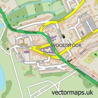
This Long Hanborough street map is a detailed vector street map covering a 750m x 750m area. Select a larger area to create and download your own vector street map of Long Hanborough.
The 750-metre map sample for Long Hanborough covers 375 mapped buildings and approximately 26.3 km of road detail, of which 22 named roads are named. The immediate area includes 1 school, 2 pubs and 2 MOT stations within 2 miles. The wider area around Long Hanborough features 4 food and drink venues. To create a larger or custom map of Long Hanborough, the map builder lets you define your own coverage area and download editable SVG, PDF and PNG files.
Create a larger editable map of Long Hanborough
Choose any area you need and generate a high-quality vector map instantly. Perfect for print, planning, design, business and personal use.

This Long Hanborough street map in Oxfordshire is available as downloadable SVG, PDF and PNG map files, or as a printed map for planning, business, display, education, local information and design work. You can also create a larger custom map area using the map selector.
What this Long Hanborough map sample shows
Long Hanborough lies within Hanborough Cp parish, part of Freeland And Hanborough ward in the West Oxfordshire District local authority area. The postcode geography for this area includes the OX postcode area, the OX29 postcode district and the OX29 8 postcode sector. Residents fall under the Nhs Buckinghamshire, Oxfordshire And Berkshire West Integrated Care Board for NHS services.
Local features near Long Hanborough
Within 2 milesAmenities and services in and around Long Hanborough.
Administrative and postcode information for Long Hanborough
Long Hanborough lies within Hanborough Cp parish, part of Freeland And Hanborough ward in the West Oxfordshire District local authority area. The postcode geography for this area includes the OX postcode area, the OX29 postcode district and the OX29 8 postcode sector. Residents fall under the Nhs Buckinghamshire, Oxfordshire And Berkshire West Integrated Care Board for NHS services.
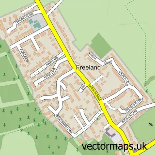
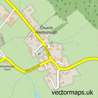
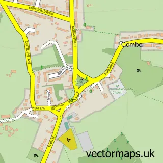
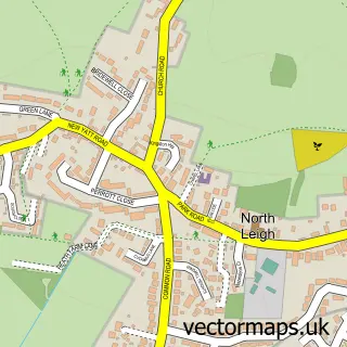
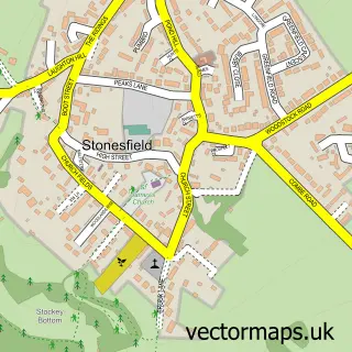
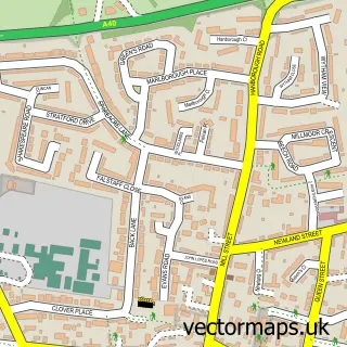
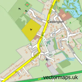
Nearby street map samples around Long Hanborough


More street maps in Oxfordshire
750 metre map area coverage
Boundary, postcode and point of interest information for the 750m x 750m rectangle centred on this sample map.
Boundaries containing map centre
Constituency: Bicester and Woodstock Co Const
County: Oxfordshire County
District: West Oxfordshire District
Icb: NHS Thames Valley ICB
Parish: Hanborough CP
Police Force: thames valley
Postcode District: OX29
Postcode Sector: OX29 8
Ward: Freeland and Hanborough Ward
Nearby boundaries intersecting sample
No additional intersecting boundaries found.
Postcode coverage
POI category counts
Dentist: 3
Automotive Repair: 2
Coffee Shop: 2
Grocery Store: 2
Post Office: 2
Pub: 2
Anglican Church: 1
Arts And Entertainment: 1
Auto Electrical Repair: 1
Automotive Services And Repair: 1
Sample points of interest
- Christ Church, Long Hanborough
- The Oxford Face Painter
- Andrew Booth Electrical
- John Oliver Body & Repairs
- Smart Rimz
- Adrian Hunter
- Effects Hair Studio
- Sportif Suzuki
- GFJ Carpentry & Joinery
- Long Hanborough Methodist Church
- Costa Express
- Hanborough Coffee Shop
Create a larger editable map of Long Hanborough
This sample shows only a 750 metre area. To create a larger map of Long Hanborough, use our map builder to choose your own coverage area, add titles and download editable SVG, PDF and PNG files.
Create a custom map of Long Hanborough