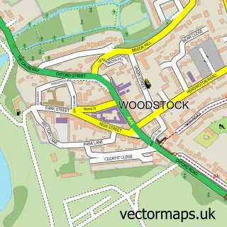
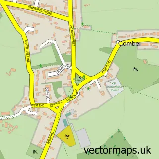
This Freeland street map is a detailed vector street map covering a 750m x 750m area. Select a larger area to create and download your own vector street map of Freeland.
The 750-metre map sample for Freeland covers 319 mapped buildings and approximately 20.5 km of road detail, of which 13 named roads are named. The immediate area includes 1 school, 2 pubs and 2 MOT stations within 2 miles. The wider area around Freeland features 2 food and drink venues. To create a larger or custom map of Freeland, the map builder lets you define your own coverage area and download editable SVG, PDF and PNG files.
Create a larger editable map of Freeland
Choose any area you need and generate a high-quality vector map instantly. Perfect for print, planning, design, business and personal use.

This Freeland street map in Oxfordshire is available as downloadable SVG, PDF and PNG map files, or as a printed map for planning, business, display, education, local information and design work. You can also create a larger custom map area using the map selector.
What this Freeland map sample shows
Freeland lies within Freeland Cp parish, part of Freeland And Hanborough ward in the West Oxfordshire District local authority area. The postcode geography for this area includes the OX postcode area, the OX29 postcode district and the OX29 8 postcode sector. Residents fall under the Nhs Buckinghamshire, Oxfordshire And Berkshire West Integrated Care Board for NHS services.
Local features near Freeland
Within 2 milesAmenities and services in and around Freeland.
Administrative and postcode information for Freeland
The local authority covering Freeland is West Oxfordshire District, within the county of Oxfordshire. The settlement lies within Freeland And Hanborough ward and Freeland Cp civil parish. The OX29 postcode district and OX29 8 postcode sector serve the immediate area. NHS provision in the area is delivered through Oxford University Hospitals Nhs Foundation Trust.
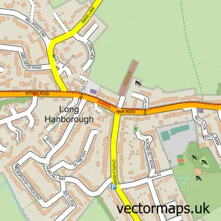
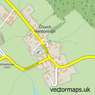
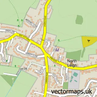
Nearby street map samples around Freeland


More street maps in Oxfordshire
750 metre map area coverage
Boundary, postcode and point of interest information for the 750m x 750m rectangle centred on this sample map.
Boundaries containing map centre
Constituency: Bicester and Woodstock Co Const
County: Oxfordshire County
District: West Oxfordshire District
Icb: NHS Thames Valley ICB
Parish: Freeland CP
Police Force: thames valley
Postcode District: OX29
Postcode Sector: OX29 8
Ward: Freeland and Hanborough Ward
Nearby boundaries intersecting sample
No additional intersecting boundaries found.
Postcode coverage
POI category counts
Professional Services: 3
Automotive Repair: 2
Convents And Monasteries: 2
Engineering Services: 2
Parking: 2
Pub: 2
Anglican Church: 1
Art Gallery: 1
Arts And Entertainment: 1
Auto Detailing: 1
Sample points of interest
- St Mary the Virgin, Freeland
- The Art of Jane Tomlinson
- Freeland Orchestra
- Perfectly Polished
- Kardos
- Oxford Classic Car Parts
- Whites Cleaning
- Hardybee
- Community of St Clare
- The Old Parsonage, Freeland
- Dancemania Dance Company
- Freeland C Of E Primary School
Create a larger editable map of Freeland
This sample shows only a 750 metre area. To create a larger map of Freeland, use our map builder to choose your own coverage area, add titles and download editable SVG, PDF and PNG files.
Create a custom map of Freeland