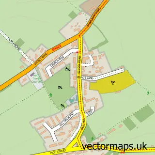
This North Leigh street map is a detailed vector street map covering a 750m x 750m area. Select a larger area to create and download your own vector street map of North Leigh.
The 750-metre map sample for North Leigh covers 331 mapped buildings and approximately 18.4 km of road detail, of which 17 named roads are named. The immediate area includes 1 school, 2 pubs and 2 MOT stations within 2 miles. The wider area around North Leigh features 1 tourism point of interest and 2 food and drink venues. To create a larger or custom map of North Leigh, the map builder lets you define your own coverage area and download editable SVG, PDF and PNG files.
Create a larger editable map of North Leigh
Choose any area you need and generate a high-quality vector map instantly. Perfect for print, planning, design, business and personal use.

This North Leigh street map in Oxfordshire is available as downloadable SVG, PDF and PNG map files, or as a printed map for planning, business, display, education, local information and design work. You can also create a larger custom map area using the map selector.
What this North Leigh map sample shows
North Leigh lies within North Leigh Cp parish, part of North Leigh ward in the West Oxfordshire District local authority area. The postcode geography for this area includes the OX postcode area, the OX29 postcode district and the OX29 6 postcode sector. Residents fall under the Nhs Buckinghamshire, Oxfordshire And Berkshire West Integrated Care Board for NHS services.
Local features near North Leigh
Within 2 milesAmenities and services in and around North Leigh.
Administrative and postcode information for North Leigh
North Leigh lies within North Leigh Cp parish, part of North Leigh ward in the West Oxfordshire District local authority area. The postcode geography for this area includes the OX postcode area, the OX29 postcode district and the OX29 6 postcode sector. Residents fall under the Nhs Buckinghamshire, Oxfordshire And Berkshire West Integrated Care Board for NHS services.
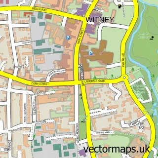
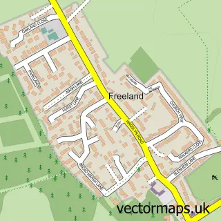
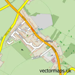
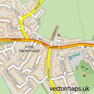
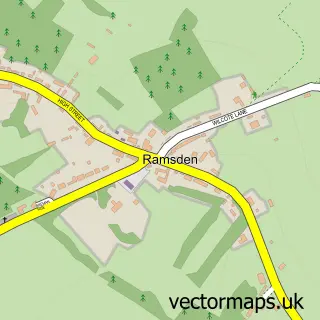
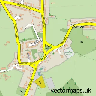
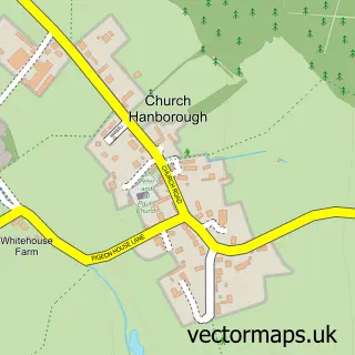
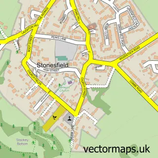
Nearby street map samples around North Leigh

More street maps in Oxfordshire
750 metre map area coverage
Boundary, postcode and point of interest information for the 750m x 750m rectangle centred on this sample map.
Boundaries containing map centre
Constituency: Bicester and Woodstock Co Const
County: Oxfordshire County
District: West Oxfordshire District
Icb: NHS Thames Valley ICB
Parish: North Leigh CP
Police Force: thames valley
Postcode District: OX29
Postcode Sector: OX29 6
Ward: North Leigh Ward
Nearby boundaries intersecting sample
No additional intersecting boundaries found.
Postcode coverage
POI category counts
Bar: 2
Building Supply Store: 2
Church Cathedral: 2
Home Cleaning: 2
Pub: 2
Scout Hall: 2
Taxi Service: 2
Art Gallery: 1
Attractions And Activities: 1
Business Consulting: 1
Sample points of interest
- Office of Contemporary Chinese Art
- North Leigh Common
- Masons Arms
- The Woodman Inn
- C M Trees & Landscapes
- Kings Property Maintenance
- Actioncoach
- St Mary's Church, North Leigh
- Windmill Gospel Hall
- North Leigh War Memorial Hall
- VS Welding
- CSE Education
Create a larger editable map of North Leigh
This sample shows only a 750 metre area. To create a larger map of North Leigh, use our map builder to choose your own coverage area, add titles and download editable SVG, PDF and PNG files.
Create a custom map of North Leigh