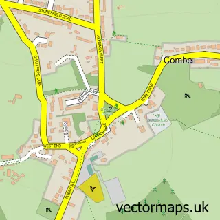
This Ramsden street map is a detailed vector street map covering a 750m x 750m area. Select a larger area to create and download your own vector street map of Ramsden.
The 750-metre map sample for Ramsden covers 124 mapped buildings and approximately 13.9 km of road detail, of which 3 named roads are named. The immediate area includes 1 pub and 1 MOT station within 2 miles. The wider area around Ramsden features 1 food and drink venue. To create a larger or custom map of Ramsden, the map builder lets you define your own coverage area and download editable SVG, PDF and PNG files.
Create a larger editable map of Ramsden
Choose any area you need and generate a high-quality vector map instantly. Perfect for print, planning, design, business and personal use.

This Ramsden street map in Oxfordshire is available as downloadable SVG, PDF and PNG map files, or as a printed map for planning, business, display, education, local information and design work. You can also create a larger custom map area using the map selector.
What this Ramsden map sample shows
Ramsden lies within Ramsden Cp parish, part of Hailey, Minster Lovell And Leafield ward in the West Oxfordshire District local authority area. The postcode geography for this area includes the OX postcode area, the OX7 postcode district and the OX7 3 postcode sector. Residents fall under the Nhs Buckinghamshire, Oxfordshire And Berkshire West Integrated Care Board for NHS services.
Local features near Ramsden
Within 2 milesAmenities and services in and around Ramsden.
Administrative and postcode information for Ramsden
Ramsden lies within Ramsden Cp parish, part of Hailey, Minster Lovell And Leafield ward in the West Oxfordshire District local authority area. The postcode geography for this area includes the OX postcode area, the OX7 postcode district and the OX7 3 postcode sector. Residents fall under the Nhs Buckinghamshire, Oxfordshire And Berkshire West Integrated Care Board for NHS services.
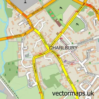
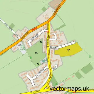
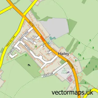
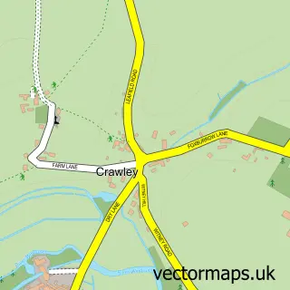
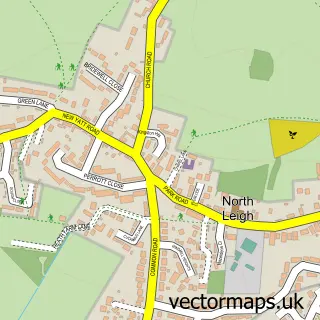
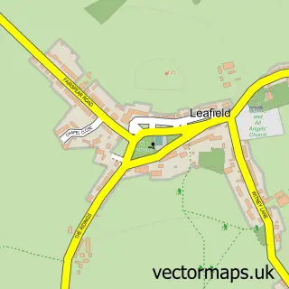
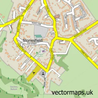
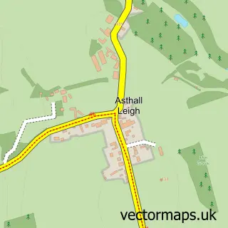
Nearby street map samples around Ramsden

More street maps in Oxfordshire
750 metre map area coverage
Boundary, postcode and point of interest information for the 750m x 750m rectangle centred on this sample map.
Boundaries containing map centre
Constituency: Witney Co Const
County: Oxfordshire County
District: West Oxfordshire District
Icb: NHS Thames Valley ICB
Parish: Ramsden CP
Police Force: thames valley
Postcode District: OX7
Postcode Sector: OX7 3
Ward: Hailey, Minster Lovell and Leafield Ward
Nearby boundaries intersecting sample
No additional intersecting boundaries found.
Postcode coverage
POI category counts
Advertising Agency: 1
Anglican Church: 1
Church Cathedral: 1
Community Services Non Profits: 1
Education: 1
Hydraulic Equipment Supplier: 1
Photographer: 1
Physical Therapy: 1
Podiatrist: 1
Pub: 1
Sample points of interest
- Ian Winter
- Ramsden: St James
- St James's Church
- Ramsden Memorial Hall
- Absolutely Sales
- Pete Crapper & Sons Ltd.
- Image Quest Marine
- Claire Winter
- Wychwood Footcare
- The Royal Oak Ramsden
- Claire Winter
Create a larger editable map of Ramsden
This sample shows only a 750 metre area. To create a larger map of Ramsden, use our map builder to choose your own coverage area, add titles and download editable SVG, PDF and PNG files.
Create a custom map of Ramsden