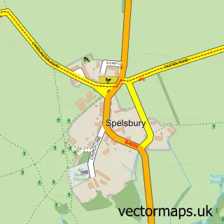
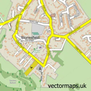
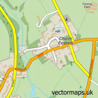
This Charlbury street map is a detailed vector street map covering a 750m x 750m area. Select a larger area to create and download your own vector street map of Charlbury.
The 750-metre map sample for Charlbury covers 367 mapped buildings and approximately 26.1 km of road detail, of which 36 named roads are named. The immediate area includes 1 GP surgery, 4 pubs and 2 MOT stations. The wider area around Charlbury features 1 tourism point of interest, 6 food and drink venues and 1 hotel. To create a larger or custom map of Charlbury, the map builder lets you define your own coverage area and download editable SVG, PDF and PNG files.
Create a larger editable map of Charlbury
Choose any area you need and generate a high-quality vector map instantly. Perfect for print, planning, design, business and personal use.

This Charlbury street map in Oxfordshire is available as downloadable SVG, PDF and PNG map files, or as a printed map for planning, business, display, education, local information and design work. You can also create a larger custom map area using the map selector.
What this Charlbury map sample shows
Charlbury lies within Charlbury Cp parish, part of Charlbury And Finstock ward in the West Oxfordshire District local authority area. The postcode geography for this area includes the OX postcode area, the OX7 postcode district and the OX7 3 postcode sector. Residents fall under the Nhs Buckinghamshire, Oxfordshire And Berkshire West Integrated Care Board for NHS services.
Local features near Charlbury
Within 2 milesAmenities and services in and around Charlbury.
Administrative and postcode information for Charlbury
The local authority covering Charlbury is West Oxfordshire District, within the county of Oxfordshire. The settlement lies within Charlbury And Finstock ward and Charlbury Cp civil parish. The OX7 postcode district and OX7 3 postcode sector serve the immediate area. NHS provision in the area is delivered through Oxford University Hospitals Nhs Foundation Trust.
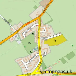
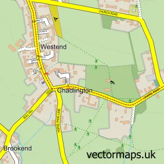
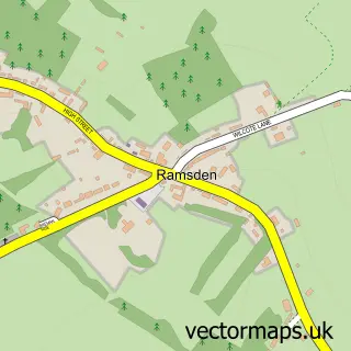
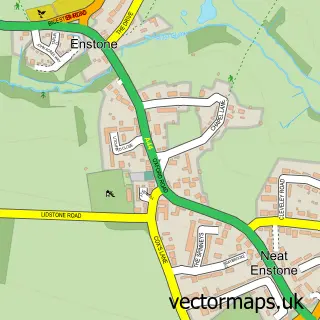
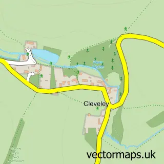
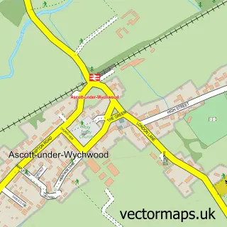
Nearby street map samples around Charlbury

More street maps in Oxfordshire
750 metre map area coverage
Boundary, postcode and point of interest information for the 750m x 750m rectangle centred on this sample map.
Boundaries containing map centre
Constituency: Banbury Co Const
County: Oxfordshire County
District: West Oxfordshire District
Icb: NHS Thames Valley ICB
Parish: Charlbury CP
Police Force: thames valley
Postcode District: OX7
Postcode Sector: OX7 3
Ward: Charlbury and Finstock Ward
Nearby boundaries intersecting sample
No additional intersecting boundaries found.
Postcode coverage
POI category counts
Pub: 4
Church Cathedral: 3
Library: 3
Post Office: 3
Appliance Store: 2
Automotive Repair: 2
Beauty Salon: 2
Community Center: 2
Doctor: 2
Insurance Agency: 2
Sample points of interest
- Patrick Lunney Associates
- Cherry Feng Shui
- Charlbury St Mary's
- Heat Store Ltd.
- The Heat Store Ltd.
- Branch Arts
- No.5 Market Street
- Midcounties Co-Op Charlbury, Enstone Road
- Charlbury Garage
- Harbod's Motor Body Repairs
- The Bread Shed
- Charlbury Baptist Church
Create a larger editable map of Charlbury
This sample shows only a 750 metre area. To create a larger map of Charlbury, use our map builder to choose your own coverage area, add titles and download editable SVG, PDF and PNG files.
Create a custom map of Charlbury