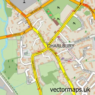
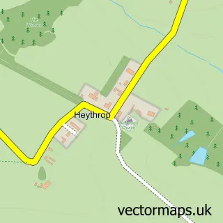
This Chadlington street map is a detailed vector street map covering a 750m x 750m area. Select a larger area to create and download your own vector street map of Chadlington.
The 750-metre map sample for Chadlington covers 160 mapped buildings and approximately 21.2 km of road detail, of which 15 named roads are named. The immediate area includes 1 school. The wider area around Chadlington features 1 food and drink venue and 1 campsite within 2 miles. To create a larger or custom map of Chadlington, the map builder lets you define your own coverage area and download editable SVG, PDF and PNG files.
Create a larger editable map of Chadlington
Choose any area you need and generate a high-quality vector map instantly. Perfect for print, planning, design, business and personal use.

This Chadlington street map in Oxfordshire is available as downloadable SVG, PDF and PNG map files, or as a printed map for planning, business, display, education, local information and design work. You can also create a larger custom map area using the map selector.
What this Chadlington map sample shows
Chadlington lies within Chadlington Cp parish, part of Chadlington And Churchill ward in the West Oxfordshire District local authority area. The postcode geography for this area includes the OX postcode area, the OX7 postcode district and the OX7 3 postcode sector. Residents fall under the Nhs Buckinghamshire, Oxfordshire And Berkshire West Integrated Care Board for NHS services.
Local features near Chadlington
Within 2 milesAmenities and services in and around Chadlington.
Administrative and postcode information for Chadlington
The local authority covering Chadlington is West Oxfordshire District, within the county of Oxfordshire. The settlement lies within Chadlington And Churchill ward and Chadlington Cp civil parish. The OX7 postcode district and OX7 3 postcode sector serve the immediate area. NHS provision in the area is delivered through Oxford University Hospitals Nhs Foundation Trust.
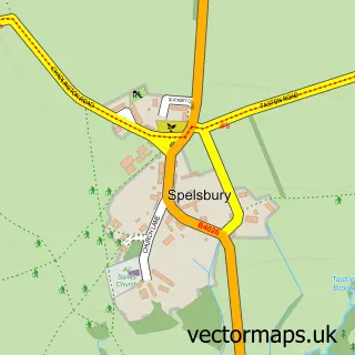
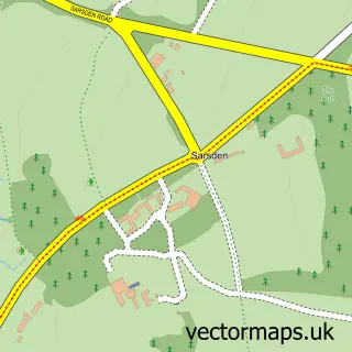
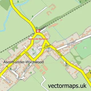
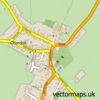
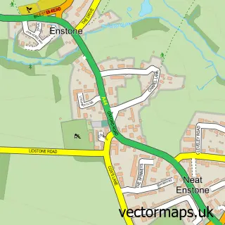
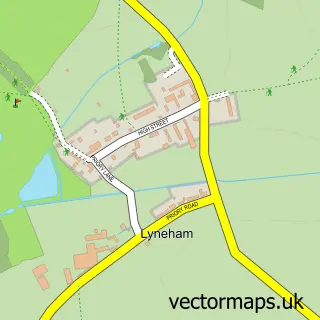
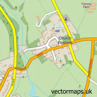
Nearby street map samples around Chadlington

More street maps in Oxfordshire
750 metre map area coverage
Boundary, postcode and point of interest information for the 750m x 750m rectangle centred on this sample map.
Boundaries containing map centre
Constituency: Banbury Co Const
County: Oxfordshire County
District: West Oxfordshire District
Icb: NHS Thames Valley ICB
Parish: Chadlington CP
Police Force: thames valley
Postcode District: OX7
Postcode Sector: OX7 3
Ward: Chadlington and Churchill Ward
Nearby boundaries intersecting sample
No additional intersecting boundaries found.
Postcode coverage
POI category counts
Assisted Living Facility: 2
Accountant: 1
Building Supply Store: 1
Butcher Shop: 1
Cafe: 1
Child Care And Day Care: 1
Church Cathedral: 1
Contractor: 1
Corporate Entertainment Services: 1
Elementary School: 1
Sample points of interest
- Chipping Norton Bookkeeping
- Abbeyfield Society
- The Old Bakehouse
- S Peet Groundworks Civil Engineering
- Slatters Butchers
- Cafe de la Post
- Kiddywinks
- The Chase Benefice
- Chipping Norton Fencing
- Spacial Installations
- Chadlington C of E Primary
- Chadlington Quality Foods
Create a larger editable map of Chadlington
This sample shows only a 750 metre area. To create a larger map of Chadlington, use our map builder to choose your own coverage area, add titles and download editable SVG, PDF and PNG files.
Create a custom map of Chadlington