This Finstock street map is a detailed vector street map covering a 750m x 750m area. Select a larger area to create and download your own vector street map of Finstock.
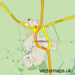
The 750-metre map sample for Finstock covers 137 mapped buildings and approximately 20.0 km of road detail, of which 11 named roads are named. The immediate area includes 1 school, 1 GP surgery within 2 miles, 4 pubs and 1 MOT station within 2 miles. The wider area around Finstock features 4 food and drink venues. To create a larger or custom map of Finstock, the map builder lets you define your own coverage area and download editable SVG, PDF and PNG files.
Create a larger editable map of Finstock
Choose any area you need and generate a high-quality vector map instantly. Perfect for print, planning, design, business and personal use.

This Finstock street map in Oxfordshire is available as downloadable SVG, PDF and PNG map files, or as a printed map for planning, business, display, education, local information and design work. You can also create a larger custom map area using the map selector.
What this Finstock map sample shows
Finstock lies within Finstock Cp parish, part of Charlbury And Finstock ward in the West Oxfordshire District local authority area. The postcode geography for this area includes the OX postcode area, the OX7 postcode district and the OX7 3 postcode sector. Residents fall under the Nhs Buckinghamshire, Oxfordshire And Berkshire West Integrated Care Board for NHS services.
Local features near Finstock
Within 2 milesAmenities and services in and around Finstock.
Administrative and postcode information for Finstock
Finstock lies within Finstock Cp parish, part of Charlbury And Finstock ward in the West Oxfordshire District local authority area. The postcode geography for this area includes the OX postcode area, the OX7 postcode district and the OX7 3 postcode sector. Residents fall under the Nhs Buckinghamshire, Oxfordshire And Berkshire West Integrated Care Board for NHS services.
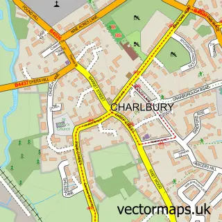
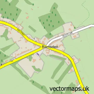
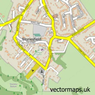
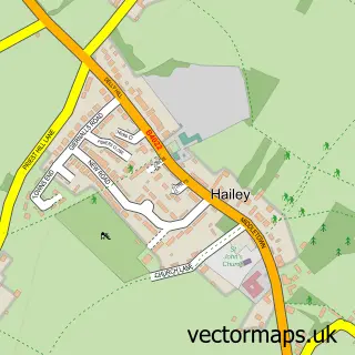
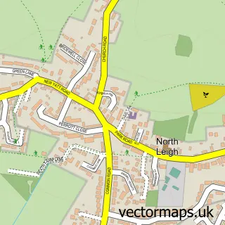
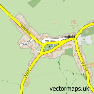
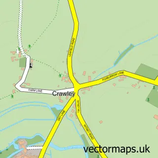
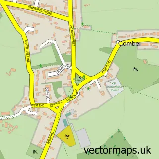
Nearby street map samples around Finstock

More street maps in Oxfordshire
750 metre map area coverage
Boundary, postcode and point of interest information for the 750m x 750m rectangle centred on this sample map.
Boundaries containing map centre
Constituency: Banbury Co Const
County: Oxfordshire County
District: West Oxfordshire District
Icb: NHS Thames Valley ICB
Parish: Finstock CP
Police Force: thames valley
Postcode District: OX7
Postcode Sector: OX7 3
Ward: Charlbury and Finstock Ward
Nearby boundaries intersecting sample
No additional intersecting boundaries found.
Postcode coverage
POI category counts
Pub: 4
Elementary School: 2
Furniture Store: 2
Advertising Agency: 1
Anglican Church: 1
Building Contractor: 1
Community Center: 1
Event Photography: 1
Flooring Contractors: 1
Forestry Service: 1
Sample points of interest
- Insight Medical Writing
- Finstock: Holy Trinity
- Paragon Windows
- Finstock Village Hall
- Finstock C.E. Primary School
- Finstock Church of England Primary School
- Video 4
- Grimebusters
- Town & Country Trees
- Christopher Dyer & Co
- Woodpecker Community Shop Finstock
- Peak Medical
Create a larger editable map of Finstock
This sample shows only a 750 metre area. To create a larger map of Finstock, use our map builder to choose your own coverage area, add titles and download editable SVG, PDF and PNG files.
Create a custom map of Finstock