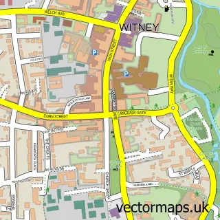
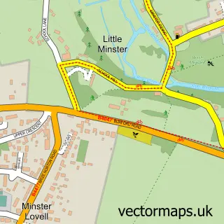
This Hailey street map is a detailed vector street map covering a 750m x 750m area. Select a larger area to create and download your own vector street map of Hailey.
The 750-metre map sample for Hailey covers 189 mapped buildings and approximately 22.2 km of road detail, of which 11 named roads are named. The immediate area includes 1 school, 2 GP surgeries within 2 miles, 4 pubs and 8 MOT stations within 2 miles. The wider area around Hailey features 1 tourism point of interest and 4 food and drink venues. To create a larger or custom map of Hailey, the map builder lets you define your own coverage area and download editable SVG, PDF and PNG files.
Create a larger editable map of Hailey
Choose any area you need and generate a high-quality vector map instantly. Perfect for print, planning, design, business and personal use.

This Hailey street map in Oxfordshire is available as downloadable SVG, PDF and PNG map files, or as a printed map for planning, business, display, education, local information and design work. You can also create a larger custom map area using the map selector.
What this Hailey map sample shows
Hailey lies within Hailey Cp parish, part of Hailey, Minster Lovell And Leafield ward in the West Oxfordshire District local authority area. The postcode geography for this area includes the OX postcode area, the OX29 postcode district and the OX29 9 postcode sector. Residents fall under the Nhs Buckinghamshire, Oxfordshire And Berkshire West Integrated Care Board for NHS services.
Local features near Hailey
Within 2 milesAmenities and services in and around Hailey.
Administrative and postcode information for Hailey
The local authority covering Hailey is West Oxfordshire District, within the county of Oxfordshire. The settlement lies within Hailey, Minster Lovell And Leafield ward and Hailey Cp civil parish. The OX29 postcode district and OX29 9 postcode sector serve the immediate area. NHS provision in the area is delivered through Oxford University Hospitals Nhs Foundation Trust.
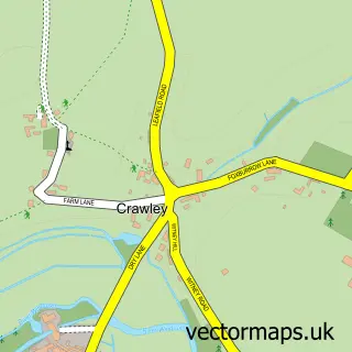
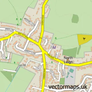
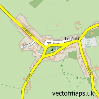
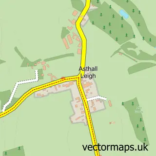
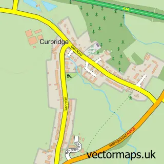
Nearby street map samples around Hailey


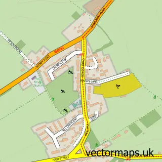
More street maps in Oxfordshire
750 metre map area coverage
Boundary, postcode and point of interest information for the 750m x 750m rectangle centred on this sample map.
Boundaries containing map centre
Constituency: Witney Co Const
County: Oxfordshire County
District: West Oxfordshire District
Icb: NHS Thames Valley ICB
Parish: Hailey CP
Police Force: thames valley
Postcode District: OX29
Postcode Sector: OX29 9
Ward: Hailey, Minster Lovell and Leafield Ward
Nearby boundaries intersecting sample
Parish: Crawley CP
Postcode coverage
POI category counts
Pub: 4
Assisted Living Facility: 2
Car Dealer: 2
Anglican Church: 1
Beauty Salon: 1
Church Cathedral: 1
Cooking School: 1
Dog Trainer: 1
Education: 1
Flooring Contractors: 1
Sample points of interest
- St. John the Evangelist, Hailey
- Barchester - Middletown Grange Care Home
- Barchester - Middletown Grange Care Home
- Hair By Harley Beth
- MH Car Sales Oxford Ltd
- Subaru UK
- St. John the Evangelist Church
- Mrs B's Cookery
- Take the Lead
- Bradbury Corporation LLP
- Blenheim Flooring
- Kontempo Hair-Design
Create a larger editable map of Hailey
This sample shows only a 750 metre area. To create a larger map of Hailey, use our map builder to choose your own coverage area, add titles and download editable SVG, PDF and PNG files.
Create a custom map of Hailey