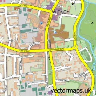
This Minster Lovell street map is a detailed vector street map covering a 750m x 750m area. Select a larger area to create and download your own vector street map of Minster Lovell.
The 750-metre map sample for Minster Lovell covers 160 mapped buildings and approximately 18.3 km of road detail, of which 11 named roads are named. The immediate area includes 1 school, 1 pub and 6 MOT stations within 2 miles. The wider area around Minster Lovell features 2 food and drink venues and 2 hotels. To create a larger or custom map of Minster Lovell, the map builder lets you define your own coverage area and download editable SVG, PDF and PNG files.
Create a larger editable map of Minster Lovell
Choose any area you need and generate a high-quality vector map instantly. Perfect for print, planning, design, business and personal use.

This Minster Lovell street map in Oxfordshire is available as downloadable SVG, PDF and PNG map files, or as a printed map for planning, business, display, education, local information and design work. You can also create a larger custom map area using the map selector.
What this Minster Lovell map sample shows
Minster Lovell lies within Minster Lovell Cp parish, part of Hailey, Minster Lovell And Leafield ward in the West Oxfordshire District local authority area. The postcode geography for this area includes the OX postcode area, the OX29 postcode district and the OX29 0 postcode sector. Residents fall under the Nhs Buckinghamshire, Oxfordshire And Berkshire West Integrated Care Board for NHS services.
Local features near Minster Lovell
Within 2 milesAmenities and services in and around Minster Lovell.
Administrative and postcode information for Minster Lovell
Minster Lovell lies within Minster Lovell Cp parish, part of Hailey, Minster Lovell And Leafield ward in the West Oxfordshire District local authority area. The postcode geography for this area includes the OX postcode area, the OX29 postcode district and the OX29 0 postcode sector. Residents fall under the Nhs Buckinghamshire, Oxfordshire And Berkshire West Integrated Care Board for NHS services.
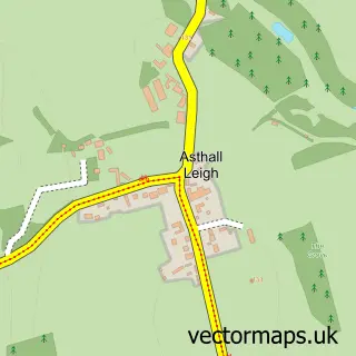
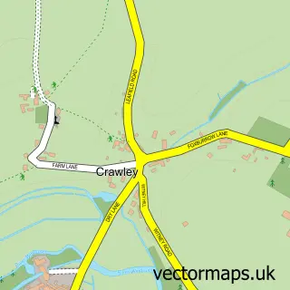
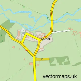
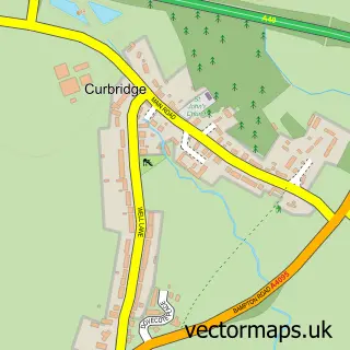
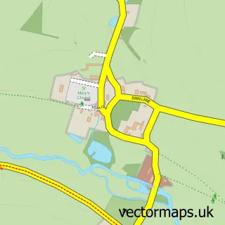
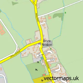
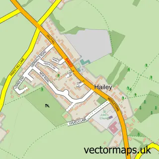
Nearby street map samples around Minster Lovell

More street maps in Oxfordshire
750 metre map area coverage
Boundary, postcode and point of interest information for the 750m x 750m rectangle centred on this sample map.
Boundaries containing map centre
Constituency: Witney Co Const
County: Oxfordshire County
District: West Oxfordshire District
Icb: NHS Thames Valley ICB
Parish: Minster Lovell CP
Police Force: thames valley
Postcode District: OX29
Postcode Sector: OX29 0
Ward: Hailey, Minster Lovell and Leafield Ward
Nearby boundaries intersecting sample
No additional intersecting boundaries found.
Postcode coverage
POI category counts
Automotive Repair: 2
Beer Bar: 2
Community Center: 2
Day Spa: 2
Hotel: 2
Airport: 1
Aromatherapy: 1
Baseball Field: 1
Charity Organization: 1
Convenience Store: 1
Sample points of interest
- Witney Aerodrome
- Natural Health Therapy
- Witney Car Audio & Security
- Witney Car Electrical & Security At IMC
- Wash Meadow
- Minster Lovell Festival
- The White Hart
- Room to Learn UK
- Minster Lovell Village Hall
- St Kenelm's Hall
- SPAR Minster Lovell
- Minster Lovell Cricket Club
Create a larger editable map of Minster Lovell
This sample shows only a 750 metre area. To create a larger map of Minster Lovell, use our map builder to choose your own coverage area, add titles and download editable SVG, PDF and PNG files.
Create a custom map of Minster Lovell