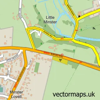
This Leafield street map is a detailed vector street map covering a 750m x 750m area. Select a larger area to create and download your own vector street map of Leafield.
The 750-metre map sample for Leafield covers 120 mapped buildings and approximately 15.5 km of road detail, of which 4 named roads are named. The immediate area includes 1 school and 1 pub. The wider area around Leafield features 1 food and drink venue. To create a larger or custom map of Leafield, the map builder lets you define your own coverage area and download editable SVG, PDF and PNG files.
Create a larger editable map of Leafield
Choose any area you need and generate a high-quality vector map instantly. Perfect for print, planning, design, business and personal use.

This Leafield street map in Oxfordshire is available as downloadable SVG, PDF and PNG map files, or as a printed map for planning, business, display, education, local information and design work. You can also create a larger custom map area using the map selector.
What this Leafield map sample shows
Leafield lies within Leafield Cp parish, part of Hailey, Minster Lovell And Leafield ward in the West Oxfordshire District local authority area. The postcode geography for this area includes the OX postcode area, the OX29 postcode district and the OX29 9 postcode sector. Residents fall under the Nhs Buckinghamshire, Oxfordshire And Berkshire West Integrated Care Board for NHS services.
Local features near Leafield
Within 2 milesAmenities and services in and around Leafield.
Administrative and postcode information for Leafield
Leafield lies within Leafield Cp parish, part of Hailey, Minster Lovell And Leafield ward in the West Oxfordshire District local authority area. The postcode geography for this area includes the OX postcode area, the OX29 postcode district and the OX29 9 postcode sector. Residents fall under the Nhs Buckinghamshire, Oxfordshire And Berkshire West Integrated Care Board for NHS services.
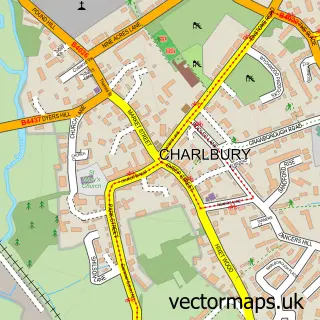
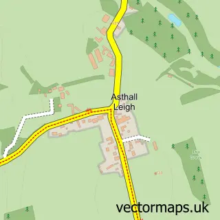
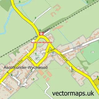
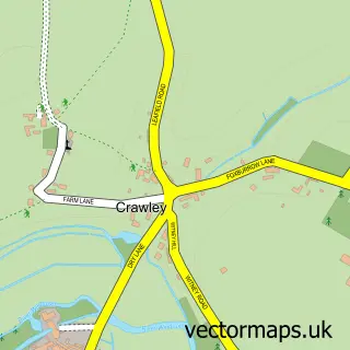
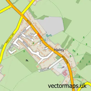
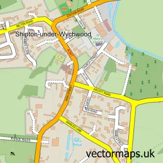
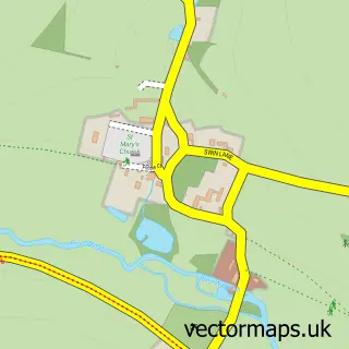
Nearby street map samples around Leafield


More street maps in Oxfordshire
750 metre map area coverage
Boundary, postcode and point of interest information for the 750m x 750m rectangle centred on this sample map.
Boundaries containing map centre
Constituency: Witney Co Const
County: Oxfordshire County
District: West Oxfordshire District
Icb: NHS Thames Valley ICB
Parish: Leafield CP
Police Force: thames valley
Postcode District: OX29
Postcode Sector: OX29 9
Ward: Hailey, Minster Lovell and Leafield Ward
Nearby boundaries intersecting sample
No additional intersecting boundaries found.
Postcode coverage
POI category counts
Advertising Agency: 1
Anglican Church: 1
Automotive Parts And Accessories: 1
Building Supply Store: 1
Elementary School: 1
Engine Repair Service: 1
Gardener: 1
Industrial Equipment: 1
Marketing Consultant: 1
Massage Therapy: 1
Sample points of interest
- Day 1 Displays
- Leafield: St Michael & All Angels
- JetsPlus
- Go Wild Gardening Co
- Leafield Church of England Primary School
- Instrument Repair Services
- Go Wild Landscapes
- Thamesway Food Machinery Ltd.
- Windrush Family Mediation Ltd.
- M&B Massage & Beauty
- A White Bathroom Company Limited
- Leafield Post Office
Create a larger editable map of Leafield
This sample shows only a 750 metre area. To create a larger map of Leafield, use our map builder to choose your own coverage area, add titles and download editable SVG, PDF and PNG files.
Create a custom map of Leafield