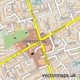
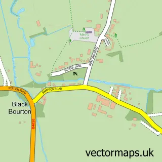
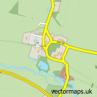
This Brize Norton street map is a detailed vector street map covering a 750m x 750m area. Select a larger area to create and download your own vector street map of Brize Norton.
The 750-metre map sample for Brize Norton covers 113 mapped buildings and approximately 10.0 km of road detail, of which 9 named roads are named. The immediate area includes 1 school, 1 GP surgery within 2 miles, 3 pubs and 6 MOT stations within 2 miles. The wider area around Brize Norton features 5 food and drink venues and 1 hotel. To create a larger or custom map of Brize Norton, the map builder lets you define your own coverage area and download editable SVG, PDF and PNG files.
Create a larger editable map of Brize Norton
Choose any area you need and generate a high-quality vector map instantly. Perfect for print, planning, design, business and personal use.

This Brize Norton street map in Oxfordshire is available as downloadable SVG, PDF and PNG map files, or as a printed map for planning, business, display, education, local information and design work. You can also create a larger custom map area using the map selector.
What this Brize Norton map sample shows
Brize Norton lies within Brize Norton Cp parish, part of Brize Norton And Shilton ward in the West Oxfordshire District local authority area. The postcode geography for this area includes the OX postcode area, the OX18 postcode district and the OX18 3 postcode sector. Residents fall under the Nhs Buckinghamshire, Oxfordshire And Berkshire West Integrated Care Board for NHS services.
Local features near Brize Norton
Within 2 milesAmenities and services in and around Brize Norton.
Administrative and postcode information for Brize Norton
Brize Norton lies within Brize Norton Cp parish, part of Brize Norton And Shilton ward in the West Oxfordshire District local authority area. The postcode geography for this area includes the OX postcode area, the OX18 postcode district and the OX18 3 postcode sector. Residents fall under the Nhs Buckinghamshire, Oxfordshire And Berkshire West Integrated Care Board for NHS services.
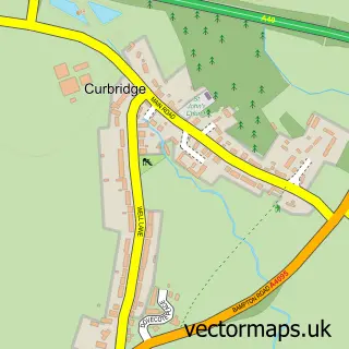
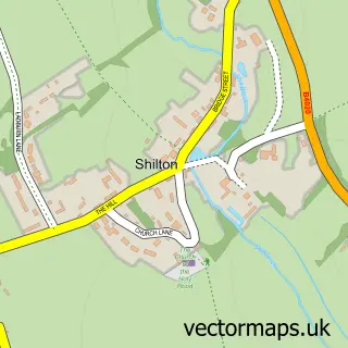
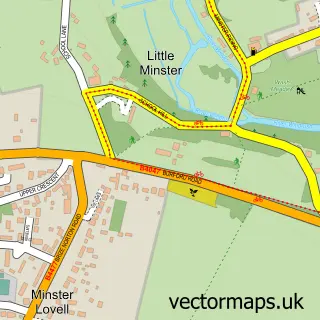
Nearby street map samples around Brize Norton

More street maps in Oxfordshire
750 metre map area coverage
Boundary, postcode and point of interest information for the 750m x 750m rectangle centred on this sample map.
Boundaries containing map centre
Constituency: Witney Co Const
County: Oxfordshire County
District: West Oxfordshire District
Icb: NHS Thames Valley ICB
Parish: Brize Norton CP
Police Force: thames valley
Postcode District: OX18
Postcode Sector: OX18 3
Ward: Brize Norton and Shilton Ward
Nearby boundaries intersecting sample
No additional intersecting boundaries found.
Postcode coverage
POI category counts
Pub: 3
Automotive Repair: 2
Community Center: 2
Convenience Store: 2
Advertising Agency: 1
Anglican Church: 1
Armed Forces Branch: 1
Atms: 1
Bed And Breakfast: 1
Business Office Supplies And Stationery: 1
Sample points of interest
- TCG Advertising & Design
- St. Britius
- Royal Auxiliary Air Force
- Brize Norton Service Station (Protected), Brize
- R & J Autocare
- T.G.C Valeting
- The Priory Manor
- Shillbrook Office Services
- The Oxford Fire Door Company
- St Joseph's RC Church, Carterton
- Humble Bumble Cafe
- Elder Bank Hall - Brize Norton
Create a larger editable map of Brize Norton
This sample shows only a 750 metre area. To create a larger map of Brize Norton, use our map builder to choose your own coverage area, add titles and download editable SVG, PDF and PNG files.
Create a custom map of Brize Norton