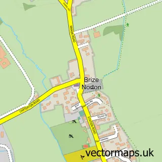
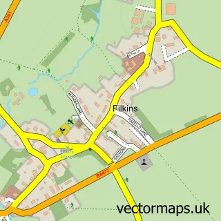
This Carterton street map is a detailed vector street map covering a 750m x 750m area. Select a larger area to create and download your own vector street map of Carterton.
The 750-metre map sample for Carterton covers 566 mapped buildings and approximately 34.2 km of road detail, of which 40 named roads are named. The immediate area includes 2 schools, 1 GP surgery within 2 miles, 4 pubs and 4 MOT stations within 2 miles. The wider area around Carterton features 2 tourism points of interest, 9 food and drink venues and 1 hotel. To create a larger or custom map of Carterton, the map builder lets you define your own coverage area and download editable SVG, PDF and PNG files.
Create a larger editable map of Carterton
Choose any area you need and generate a high-quality vector map instantly. Perfect for print, planning, design, business and personal use.

This Carterton street map in Oxfordshire is available as downloadable SVG, PDF and PNG map files, or as a printed map for planning, business, display, education, local information and design work. You can also create a larger custom map area using the map selector.
What this Carterton map sample shows
Carterton lies within Carterton Cp parish, part of Carterton North West ward in the West Oxfordshire District local authority area. The postcode geography for this area includes the OX postcode area, the OX18 postcode district and the OX18 1 postcode sector. Residents fall under the Nhs Buckinghamshire, Oxfordshire And Berkshire West Integrated Care Board for NHS services.
Local features near Carterton
Within 2 milesAmenities and services in and around Carterton.
Administrative and postcode information for Carterton
The local authority covering Carterton is West Oxfordshire District, within the county of Oxfordshire. The settlement lies within Carterton North West ward and Carterton Cp civil parish. The OX18 postcode district and OX18 1 postcode sector serve the immediate area. NHS provision in the area is delivered through Oxford University Hospitals Nhs Foundation Trust.
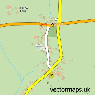
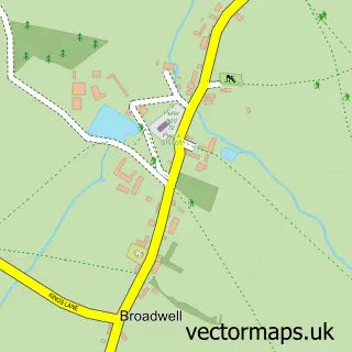
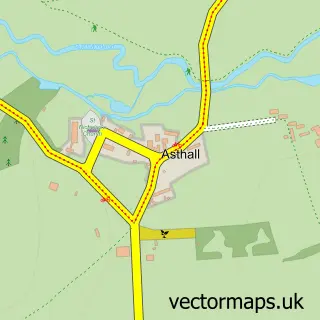
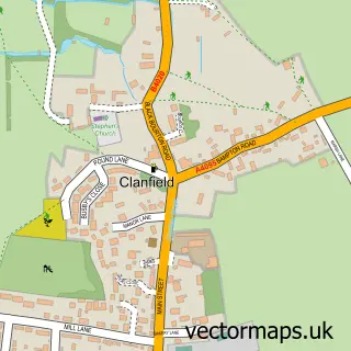
Nearby street map samples around Carterton

More street maps in Oxfordshire
750 metre map area coverage
Boundary, postcode and point of interest information for the 750m x 750m rectangle centred on this sample map.
Boundaries containing map centre
Constituency: Witney Co Const
County: Oxfordshire County
District: West Oxfordshire District
Icb: NHS Thames Valley ICB
Parish: Carterton CP
Police Force: thames valley
Postcode District: OX18
Postcode Sector: OX18 3
Ward: Carterton North West Ward
Nearby boundaries intersecting sample
Ward: Carterton North East Ward, Carterton South Ward
Postcode coverage
POI category counts
Business: 8
Beauty And Spa: 7
Dentist: 6
Church Cathedral: 5
Professional Services: 5
Retail: 5
Supermarket: 5
Bar: 4
Hair Salon: 4
Pub: 4
Sample points of interest
- Shilton Accounting Services
- St John the Evangelist, Carterton
- Gemma Marlow Art
- West Oxfordshire Arts
- Handmade By Abby
- Aviator Carterton
- BG Remaps
- McCruddens Vehicle Repair Specialists
- Bread Bin Bakery and Cafe
- Barclays Bank
- HSBC Bank
- Lloyds Bank
Create a larger editable map of Carterton
This sample shows only a 750 metre area. To create a larger map of Carterton, use our map builder to choose your own coverage area, add titles and download editable SVG, PDF and PNG files.
Create a custom map of Carterton