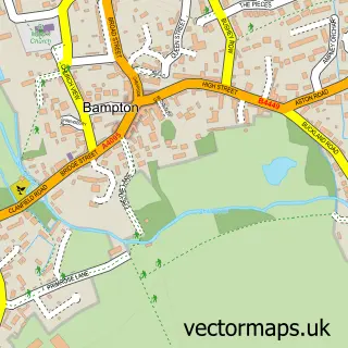
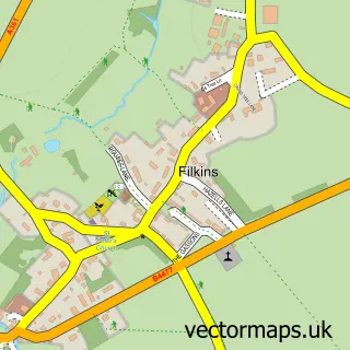
This Clanfield street map is a detailed vector street map covering a 750m x 750m area. Select a larger area to create and download your own vector street map of Clanfield.
The 750-metre map sample for Clanfield covers 218 mapped buildings and approximately 22.0 km of road detail, of which 14 named roads are named. The immediate area includes 1 school, 1 GP surgery within 2 miles and 1 pub. The wider area around Clanfield features 2 food and drink venues, 3 hotels and 1 campsite within 2 miles. To create a larger or custom map of Clanfield, the map builder lets you define your own coverage area and download editable SVG, PDF and PNG files.
Create a larger editable map of Clanfield
Choose any area you need and generate a high-quality vector map instantly. Perfect for print, planning, design, business and personal use.

This Clanfield street map in Oxfordshire is available as downloadable SVG, PDF and PNG map files, or as a printed map for planning, business, display, education, local information and design work. You can also create a larger custom map area using the map selector.
What this Clanfield map sample shows
Clanfield lies within Clanfield Cp parish, part of Bampton And Clanfield ward in the West Oxfordshire District local authority area. The postcode geography for this area includes the OX postcode area, the OX18 postcode district and the OX18 2 postcode sector. Residents fall under the Nhs Buckinghamshire, Oxfordshire And Berkshire West Integrated Care Board for NHS services.
Local features near Clanfield
Within 2 milesAmenities and services in and around Clanfield.
Administrative and postcode information for Clanfield
The local authority covering Clanfield is West Oxfordshire District, within the county of Oxfordshire. The settlement lies within Bampton And Clanfield ward and Clanfield Cp civil parish. The OX18 postcode district and OX18 2 postcode sector serve the immediate area. NHS provision in the area is delivered through Oxford University Hospitals Nhs Foundation Trust.
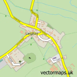
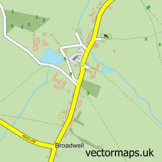
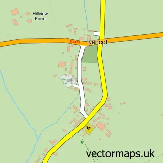
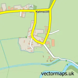
Nearby street map samples around Clanfield

More street maps in Oxfordshire
750 metre map area coverage
Boundary, postcode and point of interest information for the 750m x 750m rectangle centred on this sample map.
Boundaries containing map centre
Constituency: Witney Co Const
County: Oxfordshire County
District: West Oxfordshire District
Icb: NHS Thames Valley ICB
Parish: Clanfield CP
Police Force: thames valley
Postcode District: OX18
Postcode Sector: OX18 2
Ward: Bampton and Clanfield Ward
Nearby boundaries intersecting sample
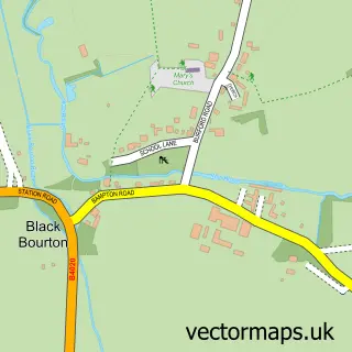
Parish: Black Bourton CP
Postcode coverage
POI category counts
Hotel: 3
Hunting And Fishing Supplies: 2
Inn: 2
Korean Grocery Store: 2
Preschool: 2
Airport Shuttles: 1
Anglican Church: 1
Auto Upholstery: 1
Bakery: 1
Bike Repair Maintenance: 1
Sample points of interest
- Damo's Taxis
- Clanfield: St Stephen
- S.Cox Upholstery
- Blake's Kitchen
- PushPedal
- Brennan’s Gym- Home of The Barn ABC
- IAV Sheds
- Tailor Made Top Nosh
- St Stephen's Church
- Gun-Point
- Clanfield CE Primary School
- Pittaway Fencing Ltd
Create a larger editable map of Clanfield
This sample shows only a 750 metre area. To create a larger map of Clanfield, use our map builder to choose your own coverage area, add titles and download editable SVG, PDF and PNG files.
Create a custom map of Clanfield