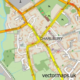
This Stonesfield street map is a detailed vector street map covering a 750m x 750m area. Select a larger area to create and download your own vector street map of Stonesfield.
The 750-metre map sample for Stonesfield covers 398 mapped buildings and approximately 24.8 km of road detail, of which 30 named roads are named. The immediate area includes 1 school and 1 MOT station within 2 miles. To create a larger or custom map of Stonesfield, the map builder lets you define your own coverage area and download editable SVG, PDF and PNG files.
Create a larger editable map of Stonesfield
Choose any area you need and generate a high-quality vector map instantly. Perfect for print, planning, design, business and personal use.

This Stonesfield street map in Oxfordshire is available as downloadable SVG, PDF and PNG map files, or as a printed map for planning, business, display, education, local information and design work. You can also create a larger custom map area using the map selector.
What this Stonesfield map sample shows
Stonesfield lies within Stonesfield Cp parish, part of Stonesfield And Tackley ward in the West Oxfordshire District local authority area. The postcode geography for this area includes the OX postcode area, the OX29 postcode district and the OX29 8 postcode sector. Residents fall under the Nhs Buckinghamshire, Oxfordshire And Berkshire West Integrated Care Board for NHS services.
Local features near Stonesfield
Within 2 milesAmenities and services in and around Stonesfield.
Administrative and postcode information for Stonesfield
The local authority covering Stonesfield is West Oxfordshire District, within the county of Oxfordshire. The settlement lies within Stonesfield And Tackley ward and Stonesfield Cp civil parish. The OX29 postcode district and OX29 8 postcode sector serve the immediate area. NHS provision in the area is delivered through Oxford University Hospitals Nhs Foundation Trust.
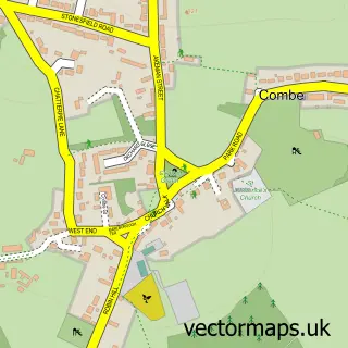
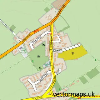
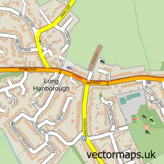
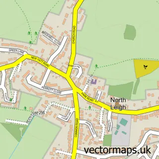
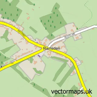
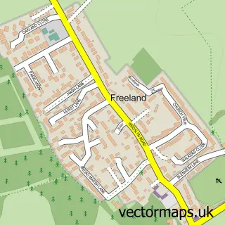
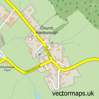
Nearby street map samples around Stonesfield


More street maps in Oxfordshire
750 metre map area coverage
Boundary, postcode and point of interest information for the 750m x 750m rectangle centred on this sample map.
Boundaries containing map centre
Constituency: Bicester and Woodstock Co Const
County: Oxfordshire County
District: West Oxfordshire District
Icb: NHS Thames Valley ICB
Parish: Stonesfield CP
Police Force: thames valley
Postcode District: OX29
Postcode Sector: OX29 8
Ward: Stonesfield and Tackley Ward
Nearby boundaries intersecting sample
No additional intersecting boundaries found.
Postcode coverage
POI category counts
Professional Services: 3
Roofing: 3
Caterer: 2
Marketing Consultant: 2
Shipping Center: 2
Acupuncture: 1
Alternative Medicine: 1
Anglican Church: 1
Appliance Repair Service: 1
Automotive Services And Repair: 1
Sample points of interest
- Maeve O'Donnell Acupuncture
- Massage Time
- St James the Great
- Reliable Repairs
- P C Wise
- The Old Bakery Holiday Cottage
- Chequers Sme Support
- Kingswell International
- Good Gourmet
- Good Gourmet
- The Mvule Trust
- Oxford Electrical Installations
Create a larger editable map of Stonesfield
This sample shows only a 750 metre area. To create a larger map of Stonesfield, use our map builder to choose your own coverage area, add titles and download editable SVG, PDF and PNG files.
Create a custom map of Stonesfield