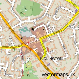
This Begbroke street map is a detailed vector street map covering a 750m x 750m area. Select a larger area to create and download your own vector street map of Begbroke.
The 750-metre map sample for Begbroke covers 186 mapped buildings and approximately 15.5 km of road detail, of which 10 named roads are named. The immediate area includes 2 GP surgeries within 2 miles, 1 pub and 10 MOT stations within 2 miles. The wider area around Begbroke features 2 food and drink venues and 1 campsite within 2 miles. To create a larger or custom map of Begbroke, the map builder lets you define your own coverage area and download editable SVG, PDF and PNG files.
Create a larger editable map of Begbroke
Choose any area you need and generate a high-quality vector map instantly. Perfect for print, planning, design, business and personal use.

This Begbroke street map in Oxfordshire is available as downloadable SVG, PDF and PNG map files, or as a printed map for planning, business, display, education, local information and design work. You can also create a larger custom map area using the map selector.
What this Begbroke map sample shows
Begbroke lies within Begbroke Cp parish, part of Kidlington West ward in the Cherwell District local authority area. The postcode geography for this area includes the OX postcode area, the OX5 postcode district and the OX5 1 postcode sector. Residents fall under the Nhs Buckinghamshire, Oxfordshire And Berkshire West Integrated Care Board for NHS services.
Local features near Begbroke
Within 2 milesAmenities and services in and around Begbroke.
Administrative and postcode information for Begbroke
Begbroke lies within Begbroke Cp parish, part of Kidlington West ward in the Cherwell District local authority area. The postcode geography for this area includes the OX postcode area, the OX5 postcode district and the OX5 1 postcode sector. Residents fall under the Nhs Buckinghamshire, Oxfordshire And Berkshire West Integrated Care Board for NHS services.
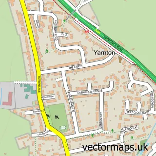
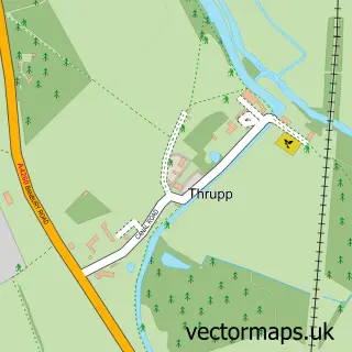
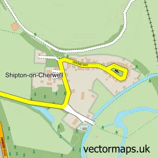
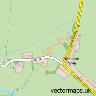
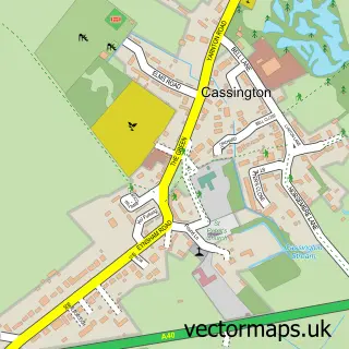
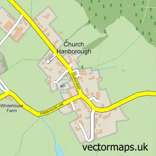
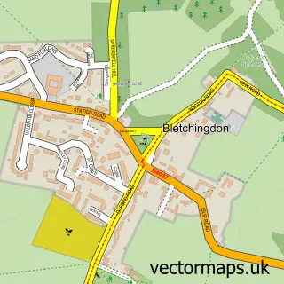
Nearby street map samples around Begbroke


More street maps in Oxfordshire
750 metre map area coverage
Boundary, postcode and point of interest information for the 750m x 750m rectangle centred on this sample map.
Boundaries containing map centre
Constituency: Bicester and Woodstock Co Const
County: Oxfordshire County
District: Cherwell District
Icb: NHS Thames Valley ICB
Parish: Begbroke CP
Police Force: thames valley
Postcode District: OX5
Postcode Sector: OX5 1
Ward: Kidlington West Ward
Nearby boundaries intersecting sample
Parish: Kidlington CP
Postcode coverage
POI category counts
Advertising Agency: 2
Arts And Entertainment: 2
Business Management Services: 2
Anglican Church: 1
Building Supply Store: 1
Church Cathedral: 1
Community Center: 1
Electrician: 1
Engineering Services: 1
Gardener: 1
Sample points of interest
- Apt Art Design
- Hand Drawn Studio
- Begbroke: St Michael
- Super FX Disco
- Vans For Bands
- Direct Plumbing Service Ltd
- Greenoak Construction
- Oxford Taxis Ltd.
- St Michael's Church
- Begbroke Village Hall
- David Verdon Electrical
- Solid State Logic
Create a larger editable map of Begbroke
This sample shows only a 750 metre area. To create a larger map of Begbroke, use our map builder to choose your own coverage area, add titles and download editable SVG, PDF and PNG files.
Create a custom map of Begbroke