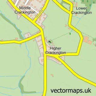
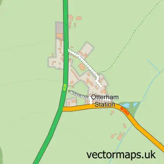
This Middle Crackington street map is a detailed vector street map covering a 750m x 750m area. Select a larger area to create and download your own vector street map of Middle Crackington.
The 750-metre map sample for Middle Crackington covers 159 mapped buildings and approximately 12.9 km of road detail, of which 7 named roads are named. The immediate area includes 1 MOT station within 2 miles. The wider area around Middle Crackington features 1 tourism point of interest, 1 hotel and 4 campsites within 2 miles. To create a larger or custom map of Middle Crackington, the map builder lets you define your own coverage area and download editable SVG, PDF and PNG files.
Create a larger editable map of Middle Crackington
Choose any area you need and generate a high-quality vector map instantly. Perfect for print, planning, design, business and personal use.

This Middle Crackington street map in Cornwall is available as downloadable SVG, PDF and PNG map files, or as a printed map for planning, business, display, education, local information and design work. You can also create a larger custom map area using the map selector.
What this Middle Crackington map sample shows
Middle Crackington lies within St. Gennys Cp parish, part of Poundstock ward in the Cornwall local authority area. The postcode geography for this area includes the EX postcode area, the EX23 postcode district and the EX23 0 postcode sector. Residents fall under the Nhs Cornwall And The Isles Of Scilly Integrated Care Board for NHS services.
Local features near Middle Crackington
Within 2 milesAmenities and services in and around Middle Crackington.
Administrative and postcode information for Middle Crackington
Middle Crackington lies within St. Gennys Cp parish, part of Poundstock ward in the Cornwall local authority area. The postcode geography for this area includes the EX postcode area, the EX23 postcode district and the EX23 0 postcode sector. Residents fall under the Nhs Cornwall And The Isles Of Scilly Integrated Care Board for NHS services.
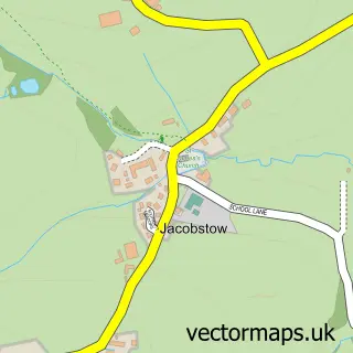
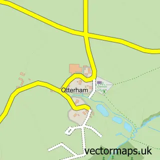
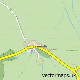
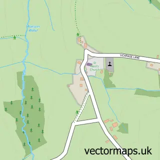
Nearby street map samples around Middle Crackington

More street maps in Cornwall
750 metre map area coverage
Boundary, postcode and point of interest information for the 750m x 750m rectangle centred on this sample map.
Boundaries containing map centre
Constituency: North Cornwall Co Const
District: Cornwall
Icb: NHS Cornwall and the Isles of Scilly ICB
Parish: St. Gennys CP
Police Force: devon and cornwall
Postcode District: EX23
Postcode Sector: EX23 0
Nearby boundaries intersecting sample
No additional intersecting boundaries found.
Postcode coverage
POI category counts
Beach: 2
Business Management Services: 2
Professional Services: 2
Community Center: 1
Driving School: 1
Hotel: 1
Landmark And Historical Building: 1
Self Catering Accommodation: 1
Web Designer: 1
Sample points of interest
- Blackrock Beach
- Crackington Beach
- Crackington Haven Mobile Service Post Office
- Post Office
- Crackington Institute Village Hall
- Butlers Driving School
- Burngullow - Visitengland 4 star Selfcatering Crackington Haven
- The Gildhouse, Poundstock
- Crackington Village Shop
- Rob Stokes Photography
- Burngullow
- Wild Design
Create a larger editable map of Middle Crackington
This sample shows only a 750 metre area. To create a larger map of Middle Crackington, use our map builder to choose your own coverage area, add titles and download editable SVG, PDF and PNG files.
Create a custom map of Middle Crackington