This Wainhouse Corner street map is a detailed vector street map covering a 750m x 750m area. Select a larger area to create and download your own vector street map of Wainhouse Corner.
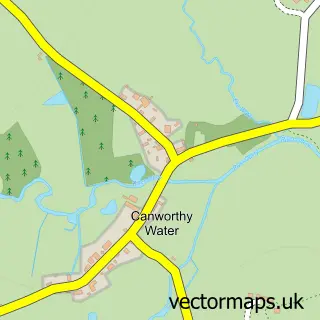
The 750-metre map sample for Wainhouse Corner covers 79 mapped buildings and approximately 10.5 km of road detail, of which 4 named roads are named. The immediate area includes 2 pubs and 1 MOT station. The wider area around Wainhouse Corner features 1 tourism point of interest, 2 food and drink venues and 4 campsites within 2 miles. To create a larger or custom map of Wainhouse Corner, the map builder lets you define your own coverage area and download editable SVG, PDF and PNG files.
Create a larger editable map of Wainhouse Corner
Choose any area you need and generate a high-quality vector map instantly. Perfect for print, planning, design, business and personal use.

This Wainhouse Corner street map in Cornwall is available as downloadable SVG, PDF and PNG map files, or as a printed map for planning, business, display, education, local information and design work. You can also create a larger custom map area using the map selector.
What this Wainhouse Corner map sample shows
Wainhouse Corner lies within Jacobstow Cp parish, part of Poundstock ward in the Cornwall local authority area. The postcode geography for this area includes the EX postcode area, the EX23 postcode district and the EX23 0 postcode sector. Residents fall under the Nhs Cornwall And The Isles Of Scilly Integrated Care Board for NHS services.
Local features near Wainhouse Corner
Within 2 milesAmenities and services in and around Wainhouse Corner.
Administrative and postcode information for Wainhouse Corner
Wainhouse Corner lies within Jacobstow Cp parish, part of Poundstock ward in the Cornwall local authority area. The postcode geography for this area includes the EX postcode area, the EX23 postcode district and the EX23 0 postcode sector. Residents fall under the Nhs Cornwall And The Isles Of Scilly Integrated Care Board for NHS services.
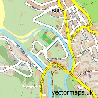
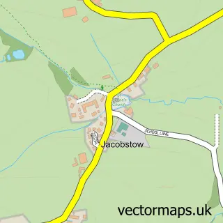
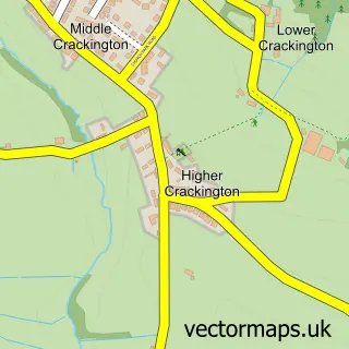
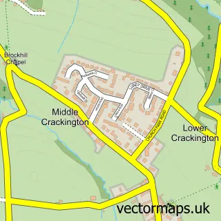
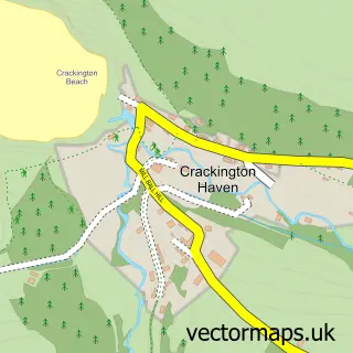
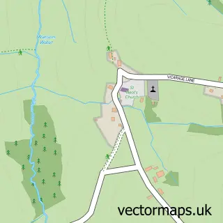
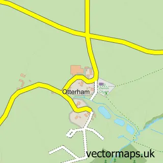
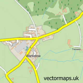
Nearby street map samples around Wainhouse Corner

More street maps in Cornwall
750 metre map area coverage
Boundary, postcode and point of interest information for the 750m x 750m rectangle centred on this sample map.
Boundaries containing map centre
Constituency: North Cornwall Co Const
District: Cornwall
Icb: NHS Cornwall and the Isles of Scilly ICB
Parish: Jacobstow CP
Police Force: devon and cornwall
Postcode District: EX23
Postcode Sector: EX23 0
Nearby boundaries intersecting sample
Parish: St. Gennys CP
Postcode coverage
POI category counts
Gas Station: 4
Convenience Store: 2
Post Office: 2
Pub: 2
Archery Range: 1
Campground: 1
Holiday Rental Home: 1
Motorcycle Repair: 1
Parking: 1
Scout Hall: 1
Sample points of interest
- Bowmen of Bude Field Archery
- Edmore Tourist Park
- Premier
- Premier Wainhouse Country Stores
- Gulf
- Gulf
- Harvest Energy
- Wainhouse Corner Service Station -Gulf petrol Station
- Kernow Holiday Home Sales
- Red Circles (redcircles.co.uk)
- W Sanders & Sons
- Post Office-St. Gennys
Create a larger editable map of Wainhouse Corner
This sample shows only a 750 metre area. To create a larger map of Wainhouse Corner, use our map builder to choose your own coverage area, add titles and download editable SVG, PDF and PNG files.
Create a custom map of Wainhouse Corner