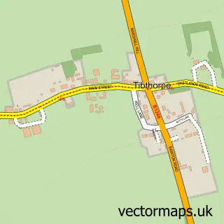
This Middleton on the Wolds street map is a detailed vector street map covering a 750m x 750m area. Select a larger area to create and download your own vector street map of Middleton on the Wolds.
The 750-metre map sample for Middleton on the Wolds covers 222 mapped buildings and approximately 8.9 km of road detail, of which 16 named roads are named. The immediate area includes 1 pub. The wider area around Middleton on the Wolds features 1 food and drink venue. To create a larger or custom map of Middleton on the Wolds, the map builder lets you define your own coverage area and download editable SVG, PDF and PNG files.
Create a larger editable map of Middleton on the Wolds
Choose any area you need and generate a high-quality vector map instantly. Perfect for print, planning, design, business and personal use.

This Middleton on the Wolds street map in East Riding of Yorkshire is available as downloadable SVG, PDF and PNG map files, or as a printed map for planning, business, display, education, local information and design work. You can also create a larger custom map area using the map selector.
What this Middleton on the Wolds map sample shows
Middleton on the Wolds lies within Middleton Cp parish, part of Beverley Rural ward in the East Riding Of Yorkshire local authority area. The postcode geography for this area includes the YO postcode area, the YO25 postcode district and the YO25 9 postcode sector. Residents fall under the Nhs Humber And North Yorkshire Integrated Care Board for NHS services.
Local features near Middleton on the Wolds
Within 2 milesAmenities and services in and around Middleton on the Wolds.
Administrative and postcode information for Middleton on the Wolds
Middleton on the Wolds lies within Middleton Cp parish, part of Beverley Rural ward in the East Riding Of Yorkshire local authority area. The postcode geography for this area includes the YO postcode area, the YO25 postcode district and the YO25 9 postcode sector. Residents fall under the Nhs Humber And North Yorkshire Integrated Care Board for NHS services.
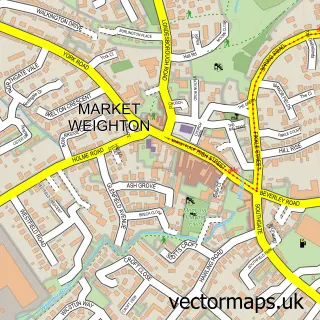
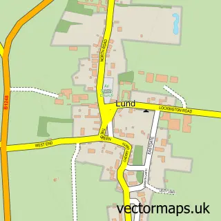
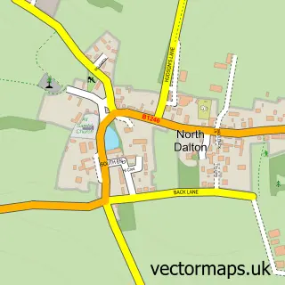
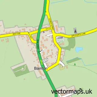
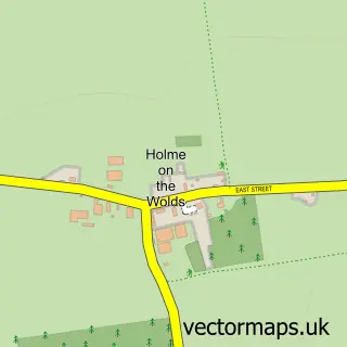
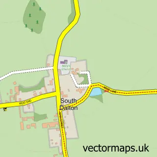
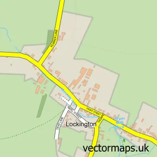
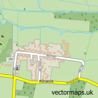
Nearby street map samples around Middleton on the Wolds

More street maps in East Riding of Yorkshire
750 metre map area coverage
Boundary, postcode and point of interest information for the 750m x 750m rectangle centred on this sample map.
Boundaries containing map centre
Constituency: Beverley and Holderness Co Const
District: East Riding of Yorkshire
Icb: NHS Humber and North Yorkshire ICB
Parish: Middleton CP
Police Force: humberside
Postcode District: YO25
Postcode Sector: YO25 9
Ward: Beverley Rural Ward
Nearby boundaries intersecting sample
No additional intersecting boundaries found.
Postcode coverage
POI category counts
Elementary School: 2
Shipping Center: 2
Accountant: 1
Anglican Church: 1
Beauty Salon: 1
Bed And Breakfast: 1
Bus Service: 1
Business Management Services: 1
Clothing Store: 1
Community Center: 1
Sample points of interest
- Henderson & Co. Accountants
- St Andrew
- Wolds waves Hair & Beauty Salon
- The Granary
- Post Office Travel Money
- Harvey Training Ltd.
- Black Yak
- Middleton on the Wolds Village Hall
- Rogue Wolves K9 Training Academy & Family Protection Dogs
- Middleton On The Wolds CE Primary School
- Middleton on the Wolds C of E School
- Wolds Pizza
Create a larger editable map of Middleton on the Wolds
This sample shows only a 750 metre area. To create a larger map of Middleton on the Wolds, use our map builder to choose your own coverage area, add titles and download editable SVG, PDF and PNG files.
Create a custom map of Middleton on the Wolds