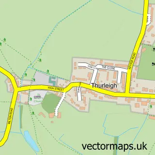
This Milton Ernest street map is a detailed vector street map covering a 750m x 750m area. Select a larger area to create and download your own vector street map of Milton Ernest.
The 750-metre map sample for Milton Ernest covers 180 mapped buildings and approximately 8.3 km of road detail, of which 13 named roads are named. The immediate area includes 1 school, 1 GP surgery within 2 miles and 2 pubs. The wider area around Milton Ernest features 2 food and drink venues and 1 hotel. To create a larger or custom map of Milton Ernest, the map builder lets you define your own coverage area and download editable SVG, PDF and PNG files.
Create a larger editable map of Milton Ernest
Choose any area you need and generate a high-quality vector map instantly. Perfect for print, planning, design, business and personal use.

This Milton Ernest street map in Bedfordshire is available as downloadable SVG, PDF and PNG map files, or as a printed map for planning, business, display, education, local information and design work. You can also create a larger custom map area using the map selector.
What this Milton Ernest map sample shows
Milton Ernest lies within Milton Ernest Cp parish, part of Sharnbrook ward in the Bedford (B) local authority area. The postcode geography for this area includes the MK postcode area, the MK44 postcode district and the MK44 1 postcode sector. Residents fall under the Nhs Bedfordshire, Luton And Milton Keynes Integrated Care Board for NHS services.
Local features near Milton Ernest
Within 2 milesAmenities and services in and around Milton Ernest.
Administrative and postcode information for Milton Ernest
The local authority covering Milton Ernest is Bedford (B), within the county of Bedfordshire. The settlement lies within Sharnbrook ward and Milton Ernest Cp civil parish. The MK44 postcode district and MK44 1 postcode sector serve the immediate area. NHS provision in the area is delivered through Bedfordshire Hospitals Nhs Foundation Trust.
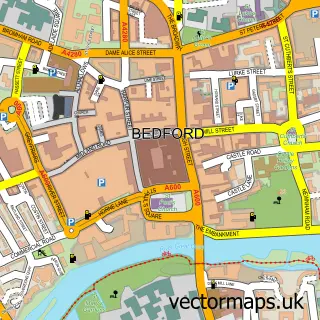
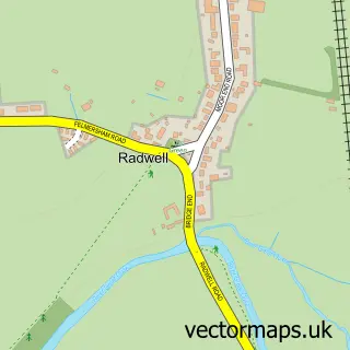
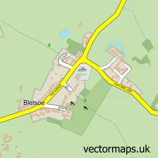
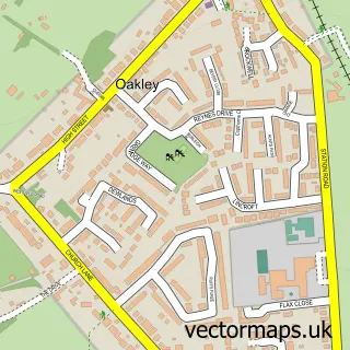
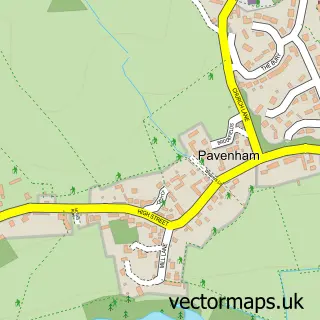
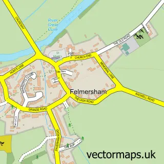
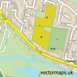
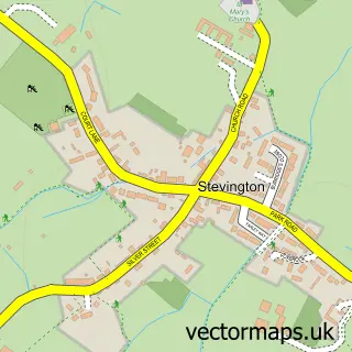
Nearby street map samples around Milton Ernest

More street maps in Bedfordshire
750 metre map area coverage
Boundary, postcode and point of interest information for the 750m x 750m rectangle centred on this sample map.
Boundaries containing map centre
Constituency: North Bedfordshire Co Const
District: Bedford (B)
Icb: NHS Central East ICB
Parish: Milton Ernest CP
Police Force: bedfordshire
Postcode District: MK44
Postcode Sector: MK44 1
Ward: Riseley Ward
Nearby boundaries intersecting sample
Parish: Pavenham CP
Postcode District: MK43
Postcode Sector: MK43 7
Ward: Sharnbrook Ward
Postcode coverage
POI category counts
Church Cathedral: 3
Retail: 3
Anglican Church: 2
Corporate Office: 2
Pub: 2
Auto Loan Provider: 1
Business Management Services: 1
Elementary School: 1
Forestry Service: 1
Gas Station: 1
Sample points of interest
- All Saints Church
- All Saints', Milton Ernest
- D & D Consultants
- Smh Fleet Solutions
- Church of All Saints, Milton Ernest
- Milton Ernest, Pavenham & Thurleigh Churches
- St Peter C of E Church
- Fairbrother Associates Ltd.
- R Fairbrother & Associates
- Milton Ernest V.C. Lower School
- Bedfordia Farms
- Souldrop Service Station
Create a larger editable map of Milton Ernest
This sample shows only a 750 metre area. To create a larger map of Milton Ernest, use our map builder to choose your own coverage area, add titles and download editable SVG, PDF and PNG files.
Create a custom map of Milton Ernest