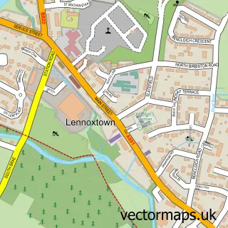
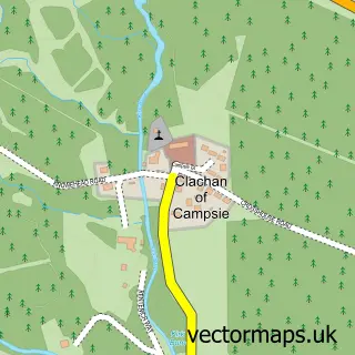
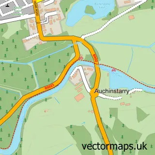
This Milton of Campsie street map is a detailed vector street map covering a 750m x 750m area. Select a larger area to create and download your own vector street map of Milton of Campsie.
The 750-metre map sample for Milton of Campsie covers 432 mapped buildings and approximately 19.3 km of road detail, of which 41 named roads are named. The immediate area includes 6 GP surgeries within 2 miles, 1 pub and 12 MOT stations within 2 miles. The wider area around Milton of Campsie features 1 tourism point of interest, 3 food and drink venues and 1 hotel. To create a larger or custom map of Milton of Campsie, the map builder lets you define your own coverage area and download editable SVG, PDF and PNG files.
Create a larger editable map of Milton of Campsie
Choose any area you need and generate a high-quality vector map instantly. Perfect for print, planning, design, business and personal use.

This Milton of Campsie street map in Dunbartonshire is available as downloadable SVG, PDF and PNG map files, or as a printed map for planning, business, display, education, local information and design work. You can also create a larger custom map area using the map selector.
What this Milton of Campsie map sample shows
Milton of Campsie lies within East Dunbartonshire parish, part of Bishopbriggs North And Campsie ward in the East Dunbartonshire local authority area. The postcode geography for this area includes the G postcode area, the G66 postcode district and the G66 8 postcode sector. Residents fall under the Greater Glasgow And Clyde for NHS services.
Local features near Milton of Campsie
Within 2 milesAmenities and services in and around Milton of Campsie.
Administrative and postcode information for Milton of Campsie
The local authority covering Milton of Campsie is East Dunbartonshire, within the county of Dunbartonshire. The settlement lies within Bishopbriggs North And Campsie ward and East Dunbartonshire civil parish. The G66 postcode district and G66 8 postcode sector serve the immediate area. NHS provision in the area is delivered through Greater Glasgow And Clyde.
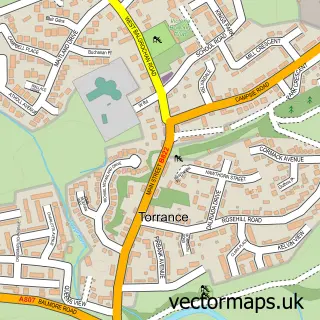
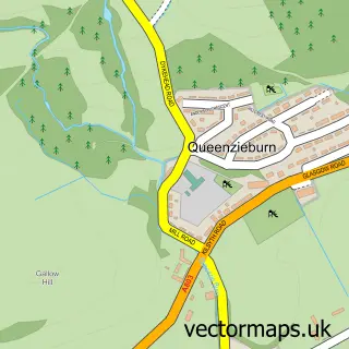
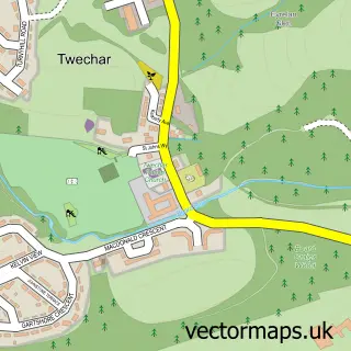
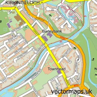
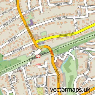
Nearby street map samples around Milton of Campsie

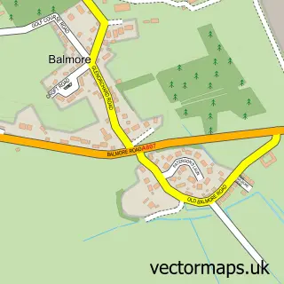
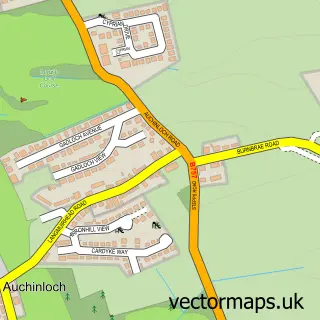
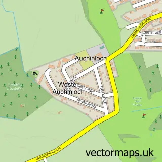
More street maps in Dunbartonshire
750 metre map area coverage
Boundary, postcode and point of interest information for the 750m x 750m rectangle centred on this sample map.
Boundaries containing map centre
Constituency: Mid Dunbartonshire Co Const
District: East Dunbartonshire
Icb: Greater Glasgow and Clyde
Postcode District: G66
Postcode Sector: G66 8
Ward: Bishopbriggs North and Campsie Ward
Nearby boundaries intersecting sample
No additional intersecting boundaries found.
Postcode coverage
POI category counts
Shipping Center: 3
Supermarket: 3
Beauty Salon: 2
Church Cathedral: 2
Coffee Shop: 2
Convenience Store: 2
Library: 2
Advertising Agency: 1
Atms: 1
Automotive Repair: 1
Sample points of interest
- Jill Brown Media
- The Cooperative Food Milton of Campsie - Antermony Road, Milton of Campsie
- William D Hutton
- Osborne's Gents Grooming
- Beaute Boutique
- The Secret Salon
- Garry Kirk Bike Fitting
- Pro Bowl, Kirkintilloch
- Kleen-Dri
- Milton of Campsie
- Lodge Caledonian St John Royal Arch 195
- Milton Of Campsie Parish Church
Create a larger editable map of Milton of Campsie
This sample shows only a 750 metre area. To create a larger map of Milton of Campsie, use our map builder to choose your own coverage area, add titles and download editable SVG, PDF and PNG files.
Create a custom map of Milton of Campsie