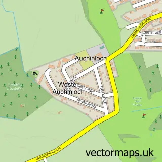
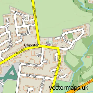
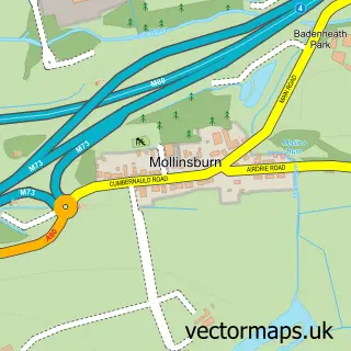
This Auchinloch street map is a detailed vector street map covering a 750m x 750m area. Select a larger area to create and download your own vector street map of Auchinloch.
The 750-metre map sample for Auchinloch covers 200 mapped buildings and approximately 9.0 km of road detail, of which 11 named roads are named. The immediate area includes 6 GP surgeries within 2 miles, 1 pub and 10 MOT stations within 2 miles. The wider area around Auchinloch features 1 food and drink venue. To create a larger or custom map of Auchinloch, the map builder lets you define your own coverage area and download editable SVG, PDF and PNG files.
Create a larger editable map of Auchinloch
Choose any area you need and generate a high-quality vector map instantly. Perfect for print, planning, design, business and personal use.

This Auchinloch street map in Lanarkshire is available as downloadable SVG, PDF and PNG map files, or as a printed map for planning, business, display, education, local information and design work. You can also create a larger custom map area using the map selector.
What this Auchinloch map sample shows
Auchinloch lies within North Lanarkshire parish, part of Stepps, Chryston And Muirhead ward in the North Lanarkshire local authority area. The postcode geography for this area includes the G postcode area, the G66 postcode district and the G66 5 postcode sector. Residents fall under the Lanarkshire for NHS services.
Local features near Auchinloch
Within 2 milesAmenities and services in and around Auchinloch.
Administrative and postcode information for Auchinloch
Auchinloch lies within North Lanarkshire parish, part of Stepps, Chryston And Muirhead ward in the North Lanarkshire local authority area. The postcode geography for this area includes the G postcode area, the G66 postcode district and the G66 5 postcode sector. Residents fall under the Lanarkshire for NHS services.
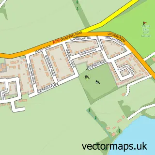
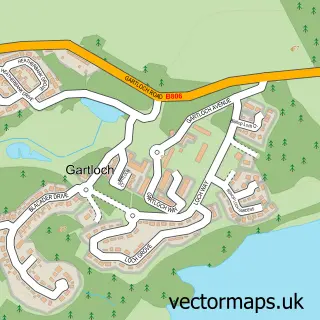
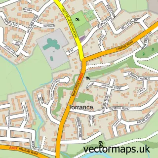
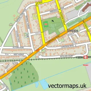
Nearby street map samples around Auchinloch

More street maps in Lanarkshire
750 metre map area coverage
Boundary, postcode and point of interest information for the 750m x 750m rectangle centred on this sample map.
Boundaries containing map centre
Constituency: Cumbernauld and Kirkintilloch Co Const
District: North Lanarkshire
Icb: Lanarkshire
Postcode District: G66
Postcode Sector: G66 5
Ward: Stepps, Chryston and Muirhead Ward
Nearby boundaries intersecting sample
Constituency: Mid Dunbartonshire Co Const
District: East Dunbartonshire
Icb: Greater Glasgow and Clyde
Ward: Lenzie and Kirkintilloch South Ward
Postcode coverage
POI category counts
Caterer: 1
Church Cathedral: 1
Pet Groomer: 1
Pub: 1
Sample points of interest
- First Class Catering
- Auchinloch Community Church
- Letham Knowe Dog Grooming
- The Golden Pheasant at Auchinloch
Create a larger editable map of Auchinloch
This sample shows only a 750 metre area. To create a larger map of Auchinloch, use our map builder to choose your own coverage area, add titles and download editable SVG, PDF and PNG files.
Create a custom map of Auchinloch